Tropical Depression 01F_03
|
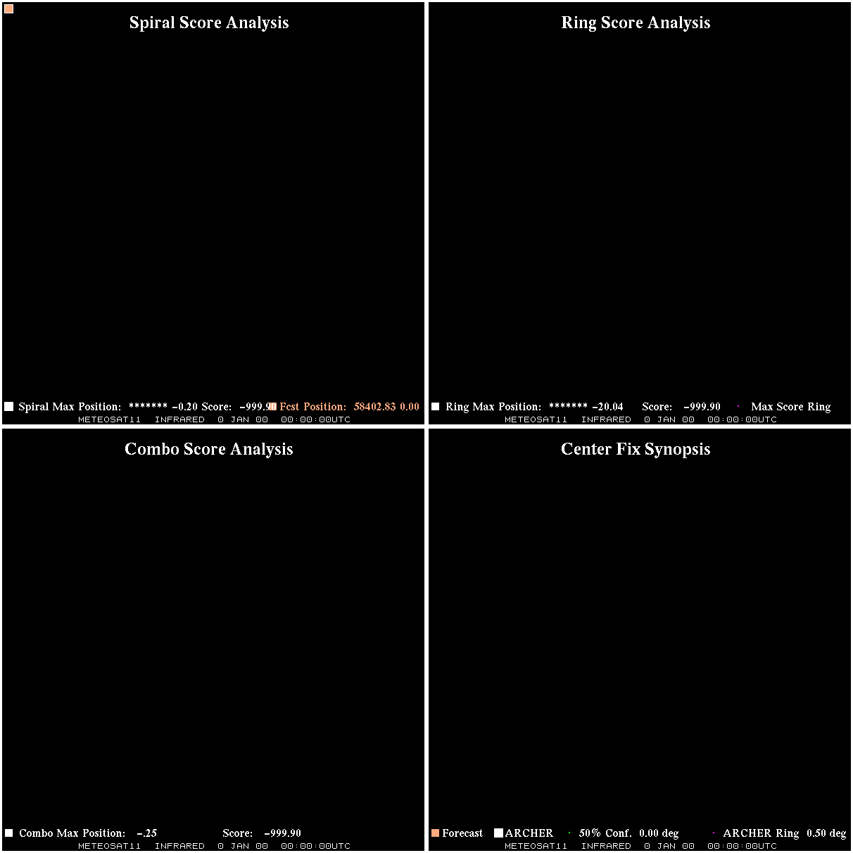
ARCHER-V2 Auto-positioning Information Advanced Dvorak Technique (ADT) Version 9.0 |
                                         -------FORECAST-----   ----ARCHER---- 50% cert  95% cert Eyewall   Conf Alpha  Eye
     Date/Time(UTC)     Source   Sensor    Lat     Lon   Vmax      Lat     Lon   radius    radius  radius  Score Score  Prob    .
   20191113 13:00:00  METEOSAT       IR  58402.83    0.00 67681546349314048.0     0.00   -0.20     0.00      0.00    N/A    0.00  0.00   0.0 GIF
   20191113 13:15:00  METEOSAT       IR  58402.83    0.00 136257128005722177546.1     0.00   -0.20     0.00      0.00    N/A    0.00  0.00   0.0 GIF
   20191113 14:00:00  METEOSAT       IR  58402.83    0.00 19664351964102936632272644601.5     0.00   -0.20     0.00      0.00    N/A    0.00  0.00   0.0 GIF
   20191113 14:15:00  METEOSAT       IR  58402.83    0.00 377921583547703975147769028808397706.6     0.00   -0.20     0.00      0.00    N/A    0.00  0.00   0.0 GIF
|
|
Key: - Date/Time: UTC time. If this observation is used in the track it is marked with a "*". If it is used for its own 30-minute window, it is put in bold. - Source/sensor: Satellite source of the analyzed image. - Vmax: Maximum winds listed in the forecast center analysis/forecast, *not* ARCHER. - ARCHER lat/lon: Coordinates of the ARCHER algorithm, valid at the time of the observation. If no center fix could be found, then it is "***". - Geo ref lat/lon: Coordinates of the ARCHER algorithm, valid at the time of the *nearest geo image*. - 50% cert. rad.: Radius of the circle (in degrees) that defines the area in which the ARCHER center of rotation is 50% certain. The lower the number, the more certain the position. - 95% cert. rad.: Radius of the circle (in degrees) that defines the area in which the ARCHER center of rotation is 95% certain. - Eye diam (deg): ARCHER-resolved eye diameter (in degrees). Green: robust, yellow: less certain, red: not robust. - % cert. of eye: Percent certainty that an eye exists in this image, determined by ARCHER. Currently only available for IR and 85-92 GHz imagery.
|
|
Links to related versions: - Track Plot - Summary table - Intensity Estimation |