Hurricane Ivan
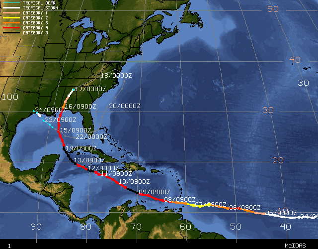
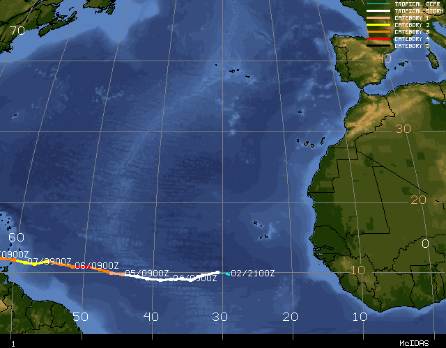
STORM-TRACK


IMAGES AND MOVIES
- 850mb Vorticity Product and
Infrared movies of Hurricane Ivan after landfall until regeneration
(JAVA movies)
- GOES-12 Combined Visible and Infrared Movie of Hurricane Ivan(36Mbyte quicktime)
- MODIS Image of Hurricane Ivan (16 Sep./16:20UTC)
2000m
| 1000m
| 500m
| 250m
- MODIS Image of Hurricane Ivan (15 Sep./18:50UTC)
2000m
| 1000m
| 500m
| 250m
- MODIS Image of Hurricane Ivan (14 Sep./16:35UTC)
2000m
| 1000m
| 500m
| 250m
(MODIS images courtesy Liam Gumley/UW-CIMSS)
- AVHRR Color Composite Imagery of Hurricane Ivan
- GOES-12 visible image of Hurricanes, Isis, Javier, and Ivan, and Tropical Storm Jeanne (15 Sep./17:45UTC)
- GOES-12 visible image of a very active weather day (15 Sep./17:45UTC)
- GOES-12 visible image size comparison of Hurricanes Charley, Frances, and Ivan
(courtesy Brian Kabat/USAF)
- GOES-12 Visible and Infrared Rapid-Scan Movies of Hurricane Ivan (10 Sep.)
(courtesy Scott Bachmeier/UW-CIMSS)
- High Resolution GOES-12 Visible Image of Hurricane Ivan (15 Sept/20:45UTC)
(courtesy Rick Kohrs/UW-SSEC)
- Morphed Microwave Images of current Atlantic and East Pacific storms
(courtesy Tony Wimmers/UW-CIMSS)
