|
|
Please click on images to enlarge to full size
|
|

Dust layer associated with the Saharan Air Layer. Photo taken from the
NOAA G-IV northeast of Barbados during a Saharan Air Layer Experiment mission
into Hurricane Helene on Sep 16, 2006. Small cumulus clouds can be seen poking
through the tops of the dust layer, which is seen as a milky white haze.
Photo credit: Jason Dunion, University of Miami/CIMAS - NOAA/HRD
|
|
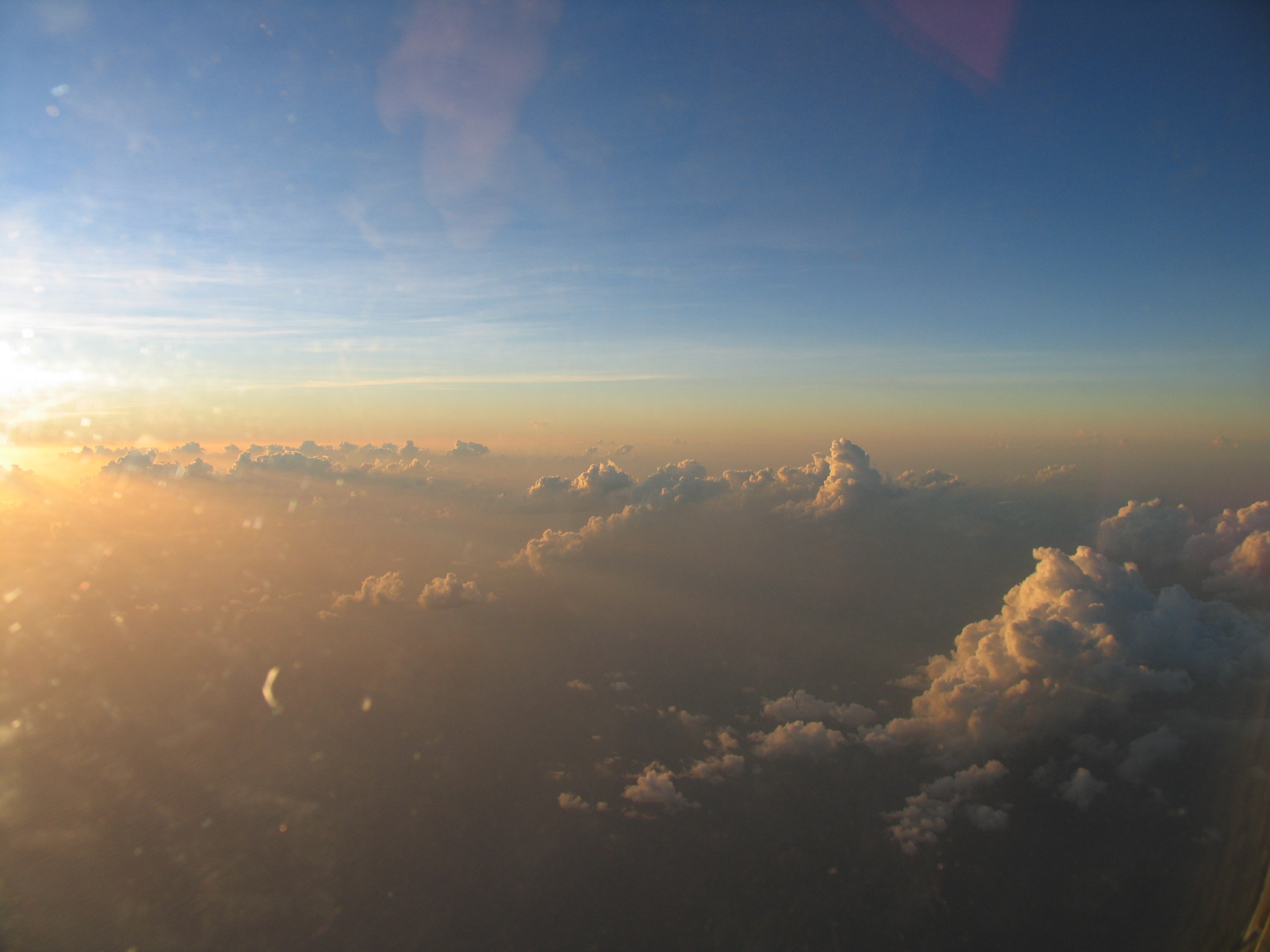
Photo of the Saharan Air Layer taken from the NOAA P-3 Orion during a Saharan
Air Layer Experiment mission on Sep 18, 2006. Saharan dust gives the sky an
orange glow during this late afternoon sunset in the eastern Caribbean. Small
cumulus clouds can be seen poking through the tops of the dust layer.
Photo credit: Jason Dunion, University of Miami/CIMAS - NOAA/HRD
|
|
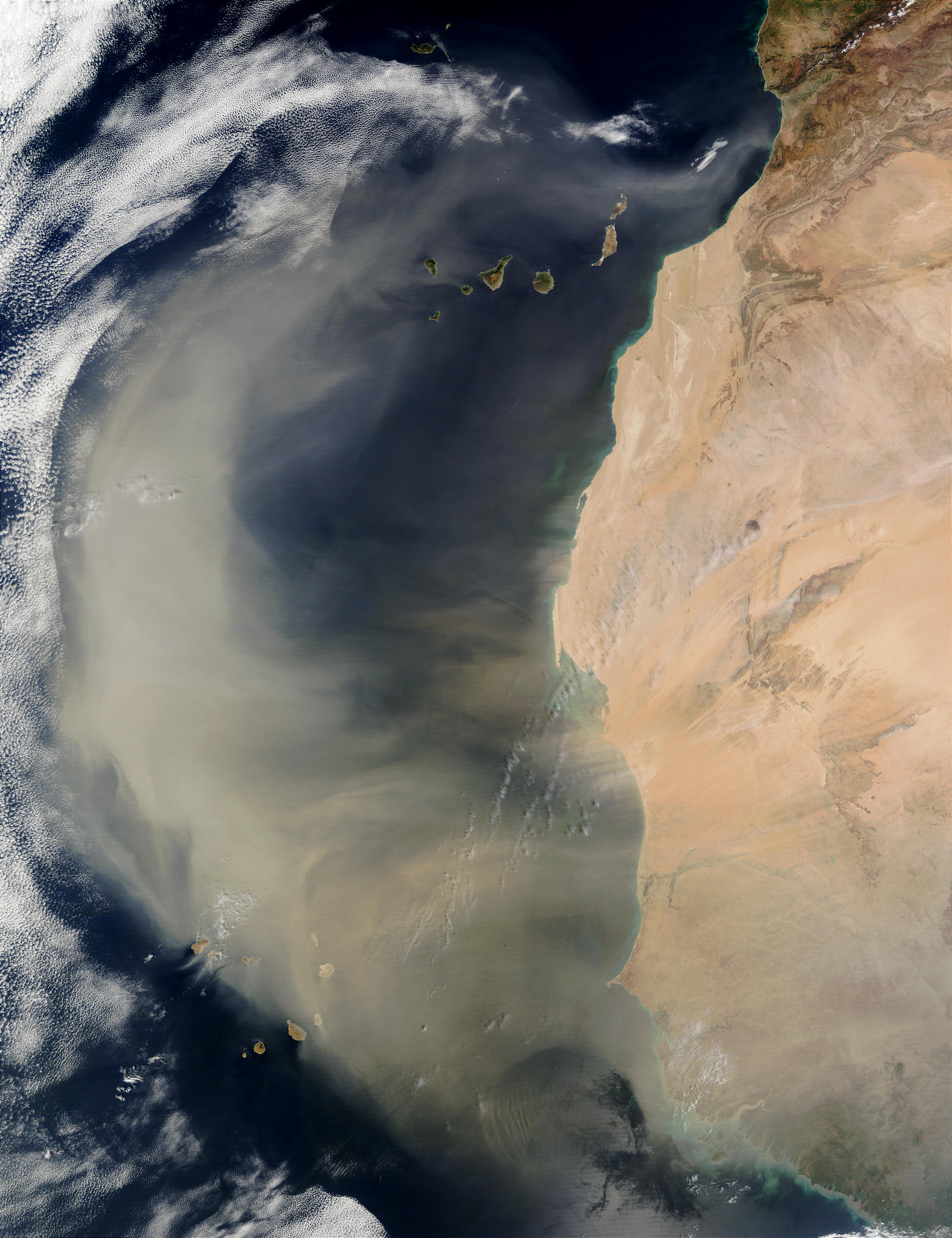
An intense African dust storm sent a massive dust plume northwestward over the
Atlantic Ocean on March 2, 2003. In this true-color scene, acquired by the
Moderate Resolution Imaging Spectroradiometer (MODIS) aboard NASA's Terra satellite,
the thick dust plume (light brown) can be seen blowing westward and then routed
northward by strong southerly winds. The plume extends more than 1,000 miles
(1,600 km), covering a vast swath of ocean extending from the Cape Verde Islands
(lower left), off the coast of Senegal, to the Canary Islands (top center) off
the coast of Morocco.
Photo credit: Jacques Descloitres, MODIS Rapid Response Team, NASA/GSFC
|
|
