|
Storm: 06E
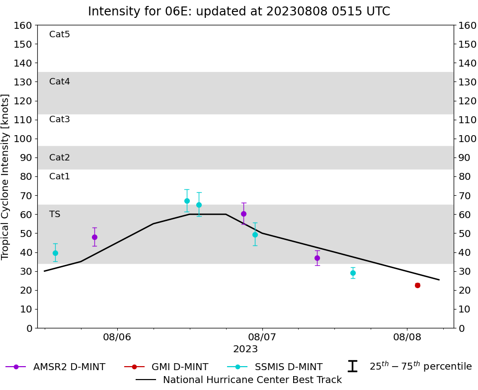
D-MINT HISTORY FILE for 2023_06E
| Date | Time | MW Sensor | MSLP | Vmax
(30th-70th percentile average) | Vmax
25th percentile | Vmax
75th percentile | Image |
| 20230808 | 0141 UTC | GMI | NaN hPa | 23 kts | 22 kts | 24 kts | 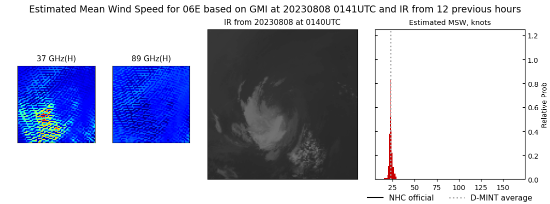 |
| 20230807 | 1459 UTC | SSMISF17 | NaN hPa | 29 kts | 26 kts | 32 kts | 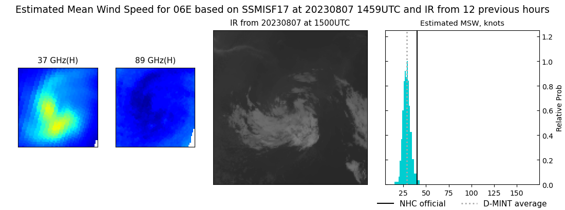 |
| 20230807 | 0907 UTC | AMSR2 | NaN hPa | 37 kts | 33 kts | 41 kts | 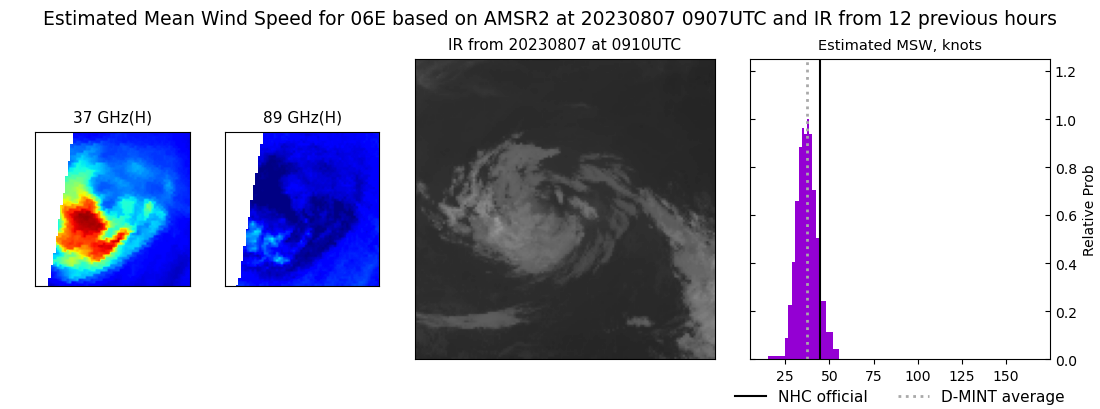 |
| 20230806 | 2247 UTC | SSMISF18 | NaN hPa | 49 kts | 44 kts | 56 kts | 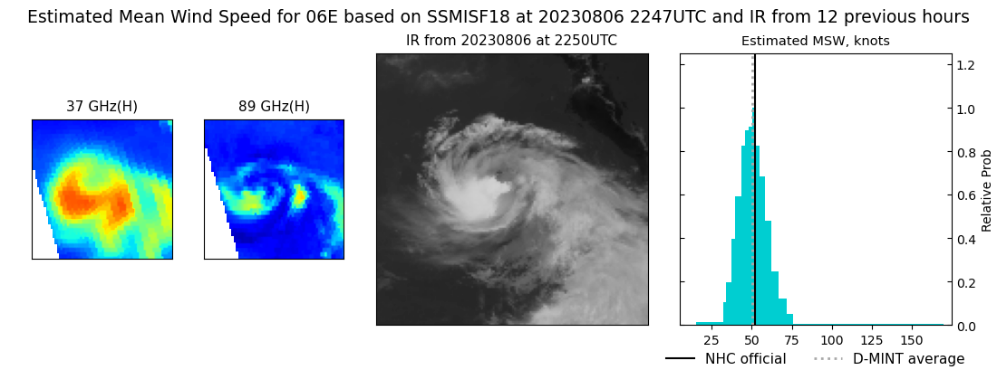 |
| 20230806 | 2057 UTC | AMSR2 | NaN hPa | 60 kts | 55 kts | 66 kts | 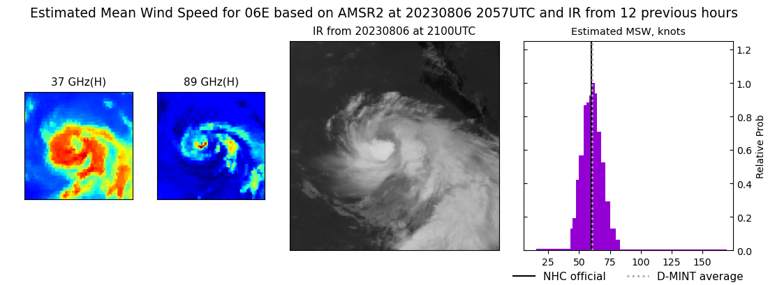 |
| 20230806 | 1333 UTC | SSMISF17 | NaN hPa | 65 kts | 59 kts | 72 kts | 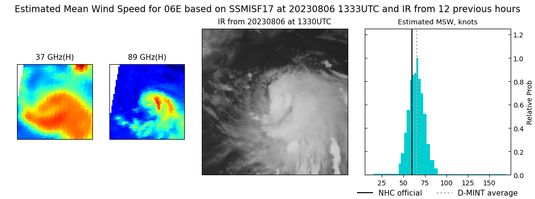 |
| 20230806 | 1131 UTC | SSMISF18 | NaN hPa | 67 kts | 61 kts | 73 kts | 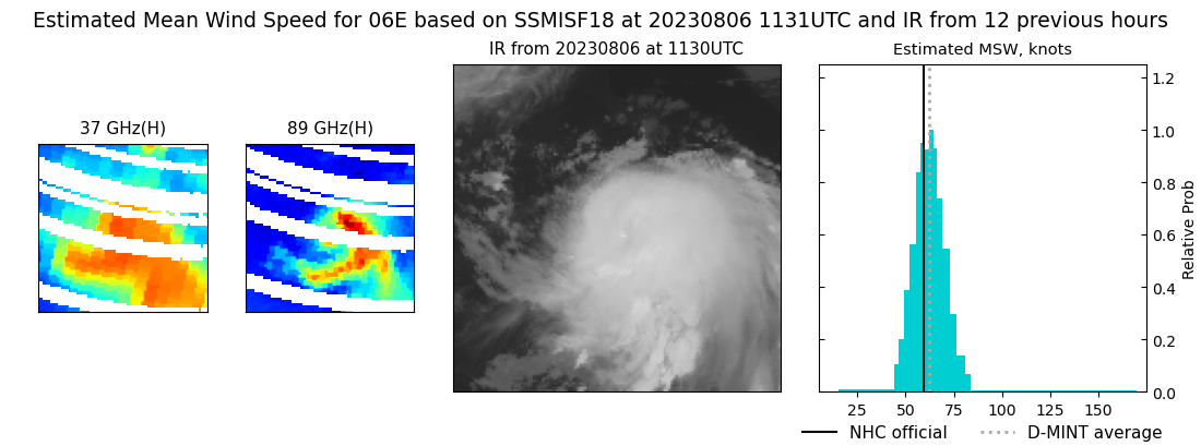 |
| 20230805 | 2014 UTC | AMSR2 | NaN hPa | 48 kts | 43 kts | 53 kts |  |
| 20230805 | 1346 UTC | SSMISF17 | NaN hPa | 40 kts | 35 kts | 44 kts | 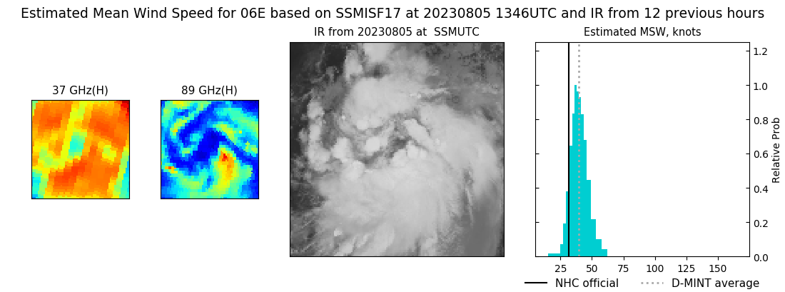 |
|
