|
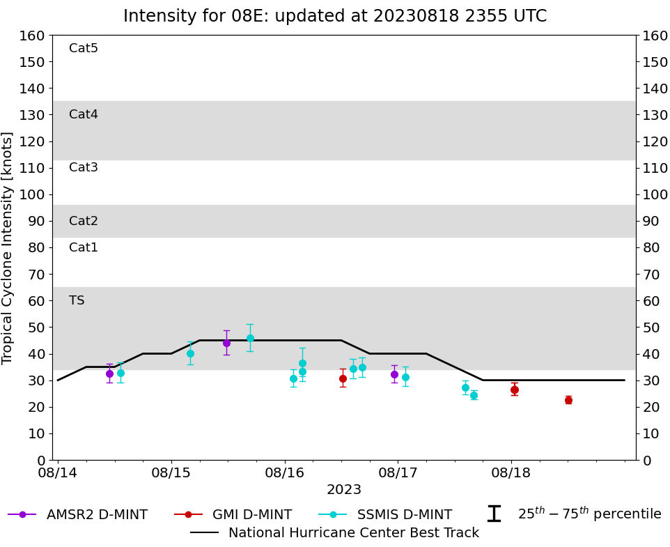
Storm: 08E
D-MINT HISTORY FILE for 2023_08E
| Date | Time | MW Sensor | MSLP | Vmax
(30th-70th percentile average) | Vmax
25th percentile | Vmax
75th percentile | Image |
| 20230818 | 1206 UTC | GMI | 1007 hPa | 22 kts | 21 kts | 24 kts | 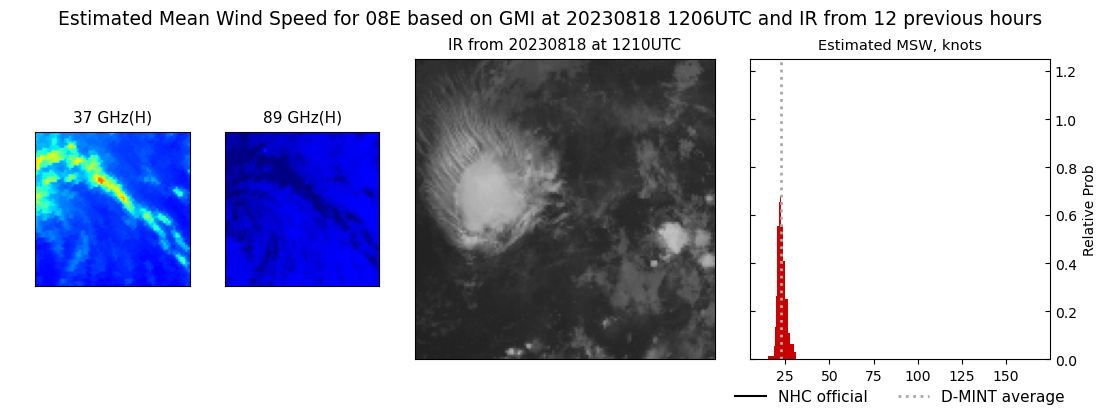 |
| 20230818 | 0040 UTC | GMI | 1007 hPa | 27 kts | 24 kts | 29 kts | 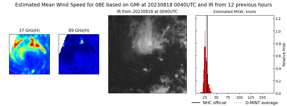 |
| 20230818 | 0036 UTC | GMI | 1007 hPa | 26 kts | 24 kts | 29 kts | 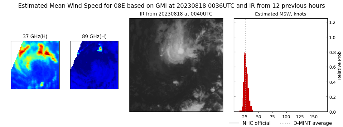 |
| 20230817 | 1606 UTC | SSMISF16 | 1007 hPa | 24 kts | 23 kts | 26 kts | 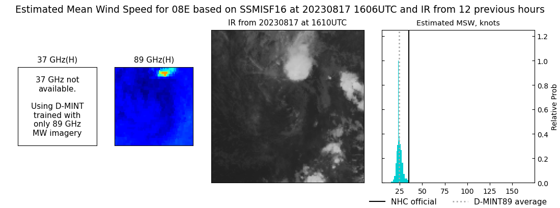 |
| 20230817 | 1413 UTC | SSMISF18 | 1007 hPa | 27 kts | 25 kts | 30 kts | 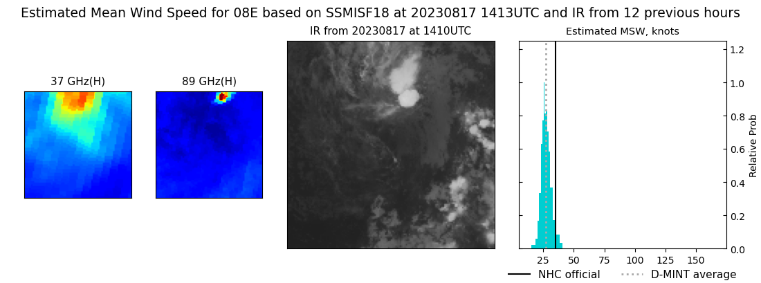 |
| 20230817 | 0136 UTC | SSMISF18 | 1004 hPa | 31 kts | 28 kts | 35 kts | 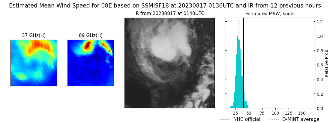 |
| 20230816 | 2311 UTC | AMSR2 | 1005 hPa | 32 kts | 29 kts | 36 kts | 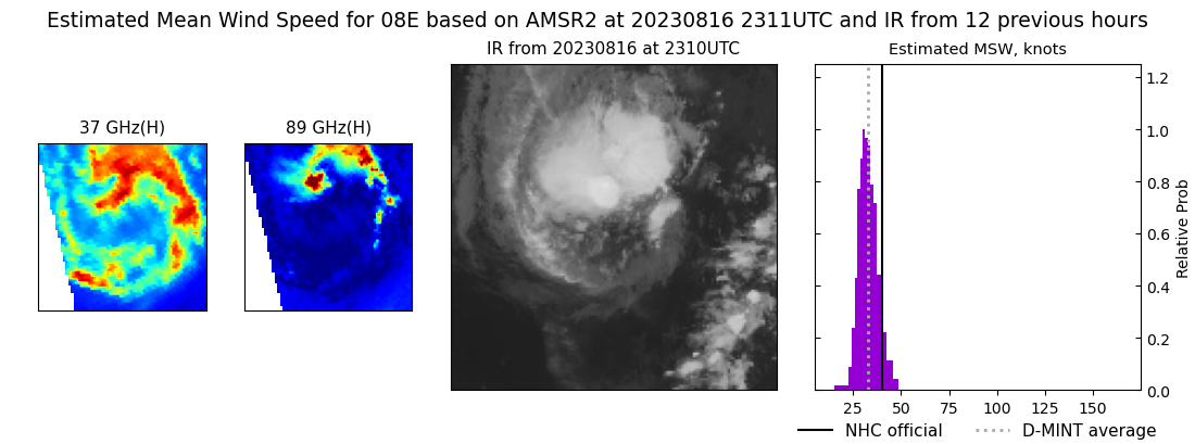 |
| 20230816 | 1622 UTC | SSMISF17 | 1005 hPa | 35 kts | 31 kts | 39 kts |  |
| 20230816 | 1427 UTC | SSMISF18 | 1003 hPa | 34 kts | 31 kts | 38 kts | 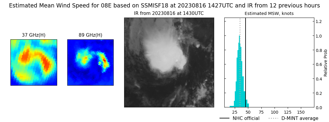 |
| 20230816 | 1216 UTC | GMI | 1006 hPa | 31 kts | 27 kts | 34 kts | 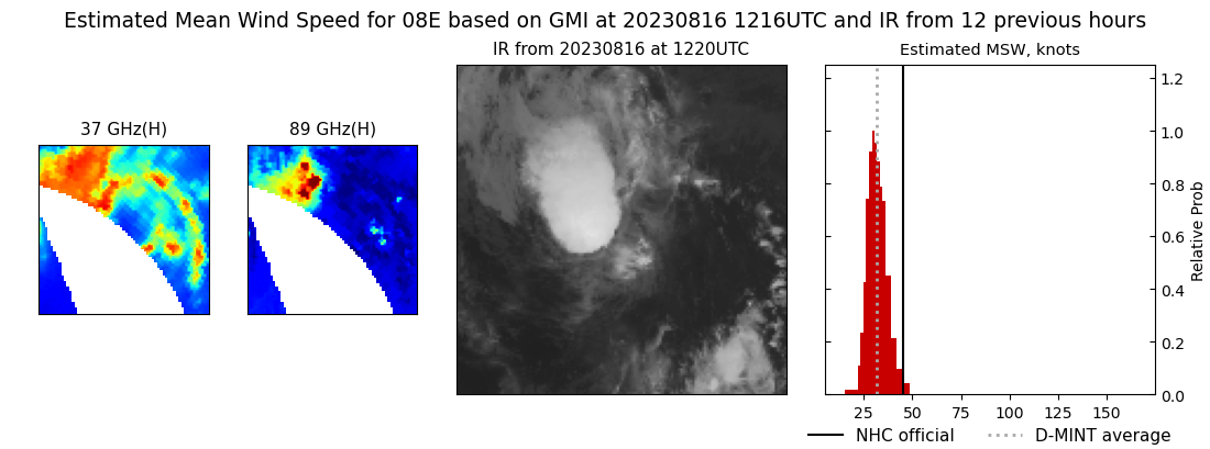 |
| 20230816 | 0346 UTC | SSMISF17 | 1004 hPa | 33 kts | 30 kts | 37 kts | 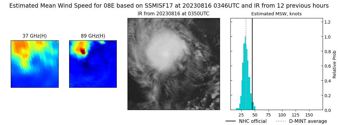 |
| 20230816 | 0343 UTC | SSMISF16 | 1004 hPa | 36 kts | 31 kts | 42 kts | 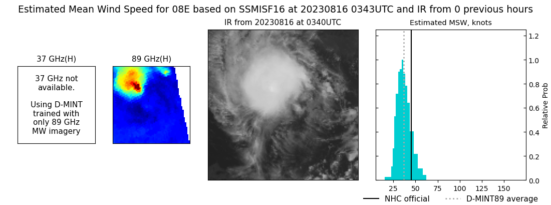 |
| 20230816 | 0149 UTC | SSMISF18 | 1005 hPa | 31 kts | 28 kts | 34 kts | 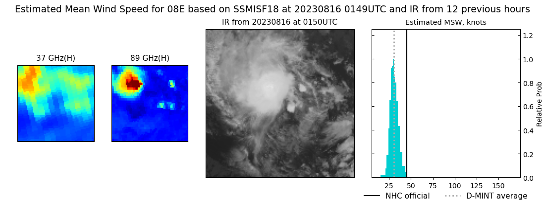 |
| 20230815 | 1637 UTC | SSMISF17 | 1002 hPa | 46 kts | 41 kts | 51 kts | 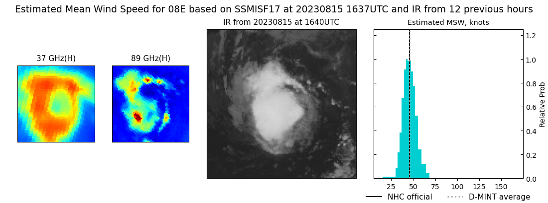 |
| 20230815 | 1138 UTC | AMSR2 | 1004 hPa | 44 kts | 40 kts | 49 kts | 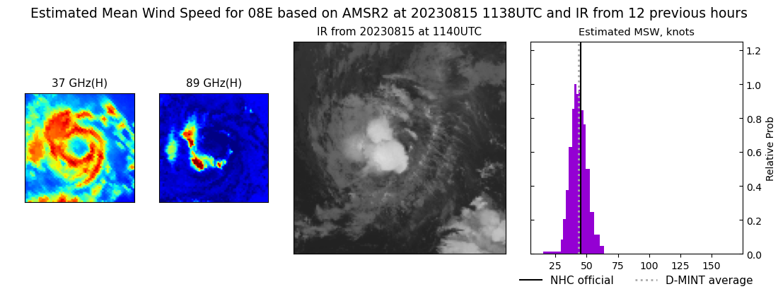 |
| 20230815 | 0359 UTC | SSMISF17 | 1002 hPa | 40 kts | 36 kts | 45 kts |  |
| 20230814 | 1312 UTC | SSMISF18 | 1004 hPa | 33 kts | 29 kts | 37 kts | 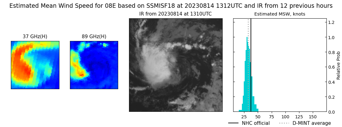 |
| 20230814 | 1055 UTC | AMSR2 | 1004 hPa | 33 kts | 29 kts | 36 kts |  |
|
