|
Storm: 04B
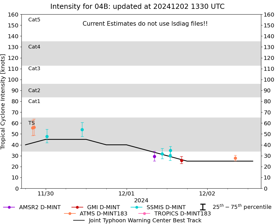
D-MINT HISTORY FILE for 2024_04B
| Date | Time | MW Sensor | MSLP | Vmax
(30th-70th percentile average) | Vmax
25th percentile | Vmax
75th percentile | Image |
| 20241202 | 0817 UTC | ATMS-N21 | NaN hPa | 28 kts | 25 kts | 30 kts | 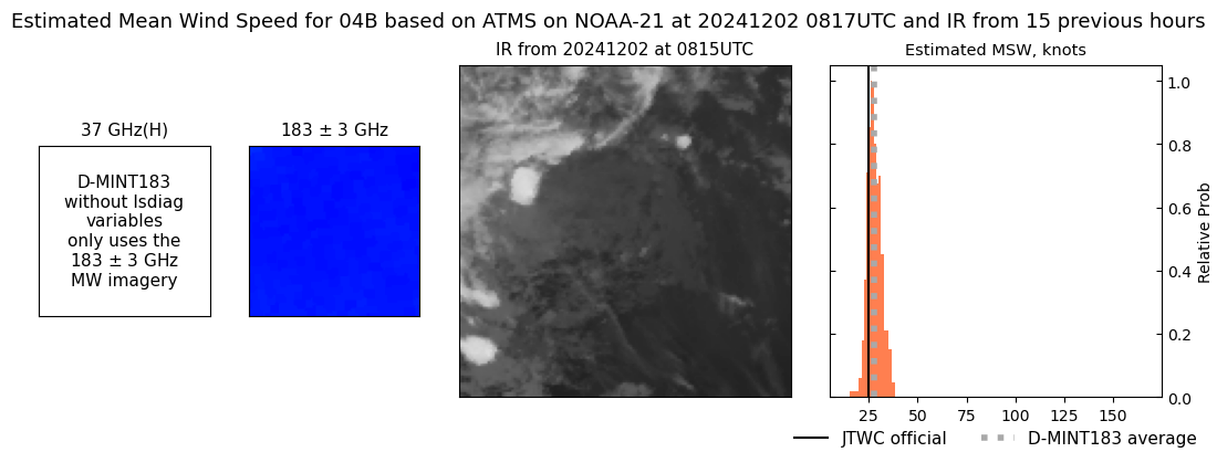 |
| 20241201 | 1618 UTC | GMI | NaN hPa | 26 kts | 23 kts | 29 kts | 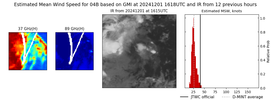 |
| 20241201 | 1303 UTC | SSMISF16 | NaN hPa | 35 kts | 31 kts | 38 kts | 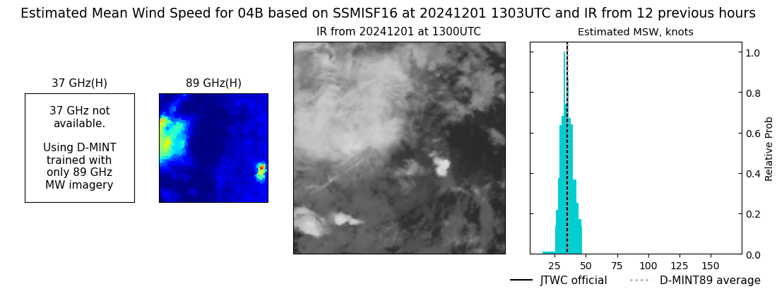 |
| 20241201 | 1258 UTC | SSMISF17 | NaN hPa | 30 kts | 26 kts | 35 kts | 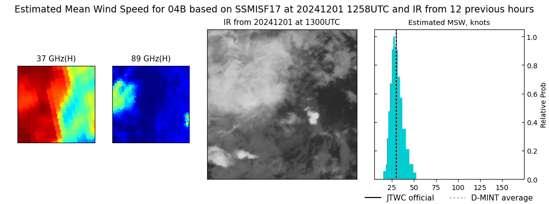 |
| 20241201 | 1036 UTC | SSMISF18 | NaN hPa | 32 kts | 27 kts | 37 kts | 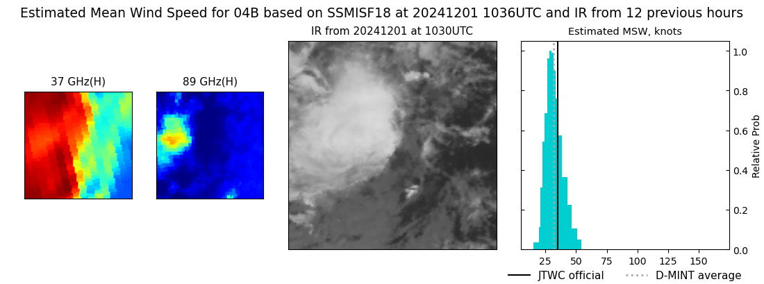 |
| 20241201 | 0815 UTC | AMSR2 | NaN hPa | 29 kts | 25 kts | 34 kts | 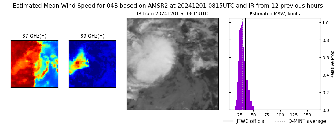 |
| 20241130 | 1050 UTC | SSMISF18 | NaN hPa | 54 kts | 48 kts | 61 kts | 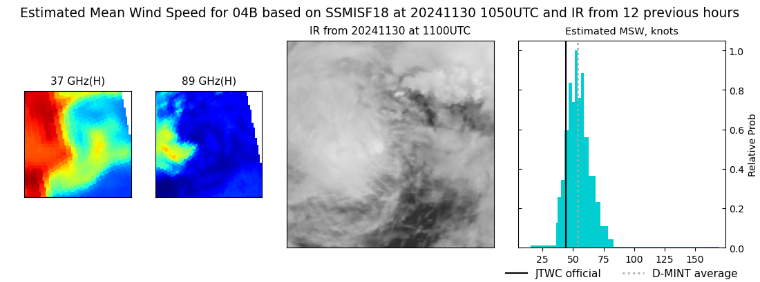 |
| 20241130 | 0022 UTC | SSMISF17 | NaN hPa | 48 kts | 42 kts | 54 kts | 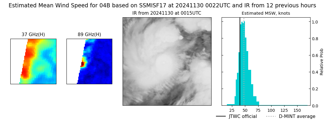 |
| 20241129 | 2030 UTC | ATMS- | NaN hPa | 56 kts | 49 kts | 64 kts | 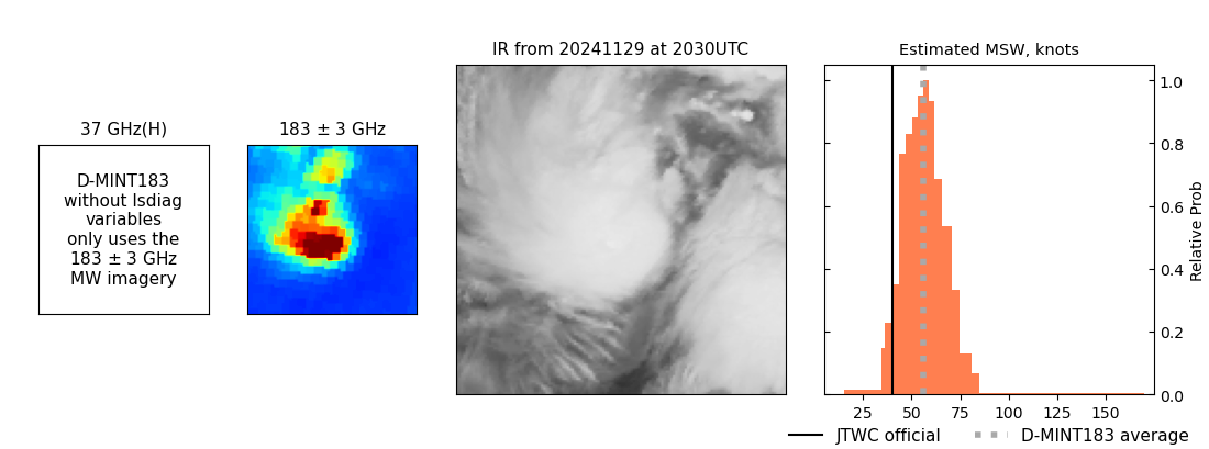 |
| 20241129 | 2007 UTC | ATMS-N21 | NaN hPa | 56 kts | 49 kts | 63 kts | 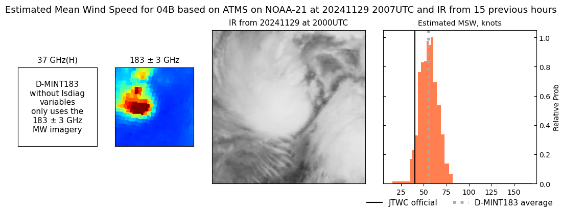 |
| 20241129 | 0733 UTC | ATMS-N21 | NaN hPa | 40 kts | 35 kts | 46 kts | 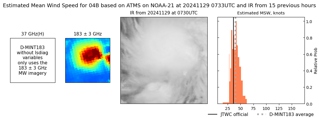 |
|
