|
Storm: 04L
D-MINT HISTORY FILE for 2024_04L
| Date | Time | MW Sensor | MSLP | Vmax
(30th-70th percentile average) | Vmax
25th percentile | Vmax
75th percentile | Image |
| 20240809 | 1308 UTC | GMI | 997 hPa | 31 kts | 27 kts | 36 kts | 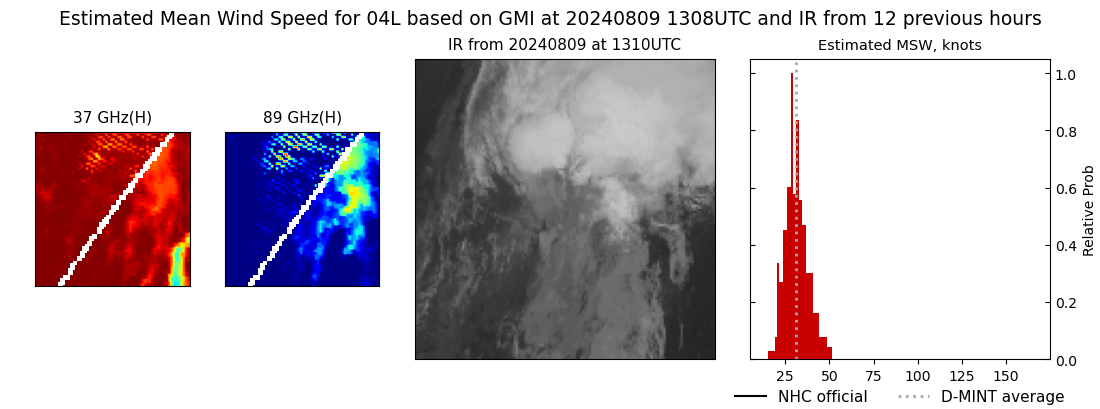 |
| 20240809 | 1126 UTC | SSMISF17 | 999 hPa | 32 kts | 28 kts | 36 kts | 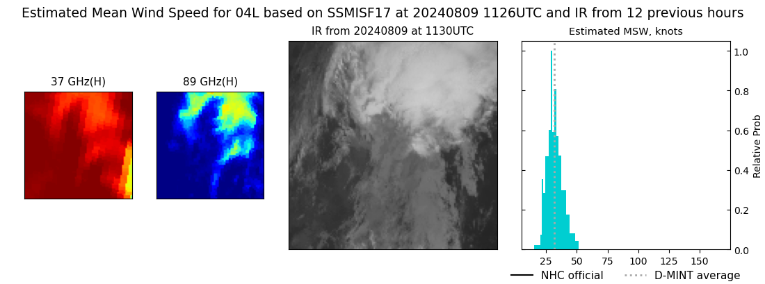 |
| 20240809 | 1012 UTC | SSMISF18 | 998 hPa | 31 kts | 28 kts | 36 kts | 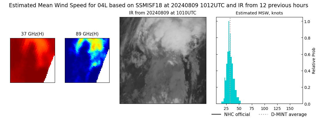 |
| 20240809 | 0724 UTC | AMSR2 | 995 hPa | 33 kts | 29 kts | 38 kts |  |
| 20240808 | 1141 UTC | SSMISF17 | 998 hPa | 39 kts | 35 kts | 44 kts | 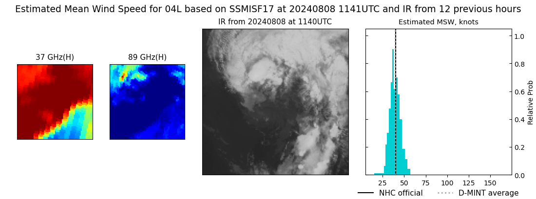 |
| 20240808 | 0736 UTC | ATMS-N20 | 1000 hPa | 42 kts | 37 kts | 46 kts | 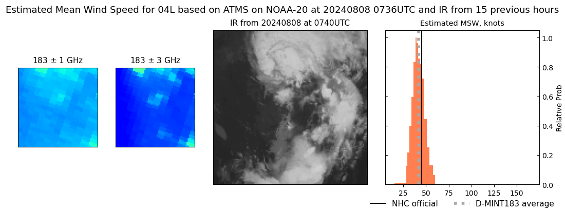 |
| 20240808 | 0643 UTC | AMSR2 | 1000 hPa | 40 kts | 36 kts | 44 kts | 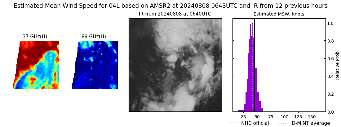 |
| 20240807 | 2316 UTC | SSMISF17 | 1003 hPa | 44 kts | 40 kts | 49 kts | 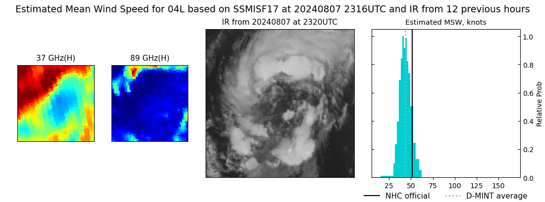 |
| 20240807 | 2313 UTC | TROPICS05 | 999 hPa | 42 kts | 38 kts | 46 kts |  |
| 20240807 | 2243 UTC | GMI | 1002 hPa | 41 kts | 37 kts | 46 kts | 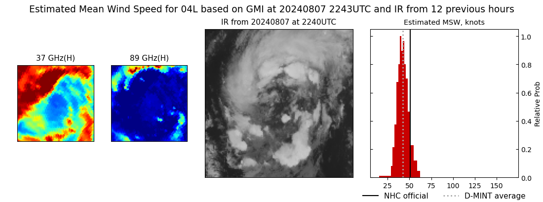 |
| 20240807 | 2230 UTC | SSMISF16 | 1003 hPa | 41 kts | 37 kts | 46 kts | 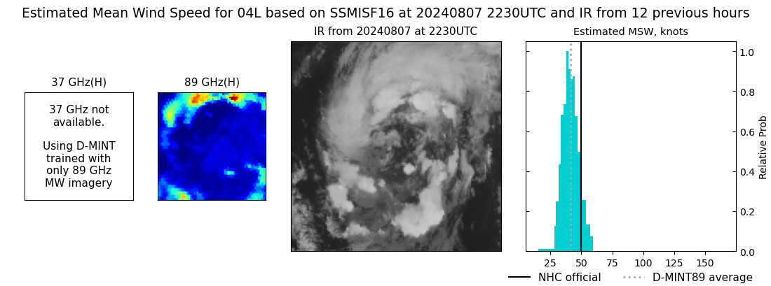 |
| 20240807 | 2133 UTC | TROPICS05 | 998 hPa | 43 kts | 39 kts | 47 kts | 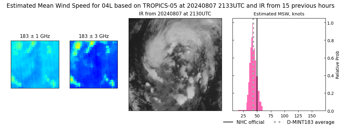 |
| 20240807 | 1849 UTC | ATMS-NPP | 998 hPa | 46 kts | 42 kts | 50 kts | 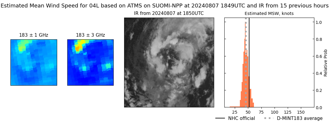 |
| 20240807 | 1838 UTC | AMSR2 | 1005 hPa | 37 kts | 33 kts | 42 kts | 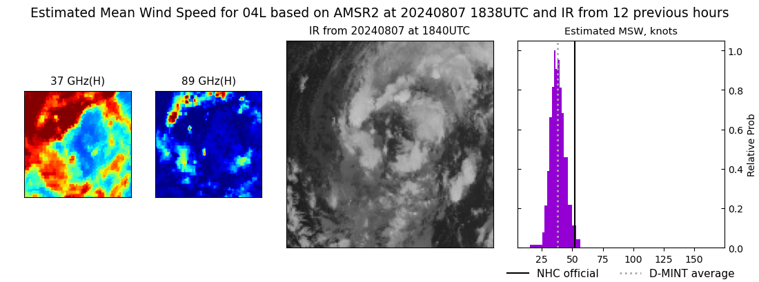 |
| 20240807 | 1824 UTC | ATMS-N21 | 997 hPa | 43 kts | 40 kts | 47 kts |  |
| 20240807 | 1155 UTC | SSMISF17 | 1004 hPa | 32 kts | 29 kts | 36 kts | 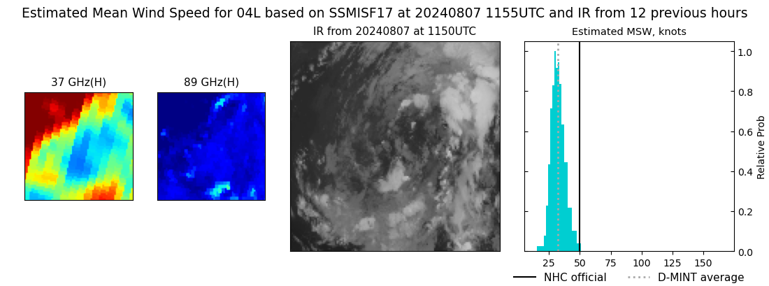 |
| 20240807 | 1109 UTC | SSMISF16 | 1004 hPa | 34 kts | 30 kts | 38 kts | 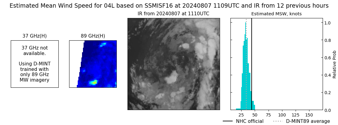 |
| 20240807 | 0900 UTC | SSMISF18 | 1002 hPa | 38 kts | 33 kts | 42 kts | 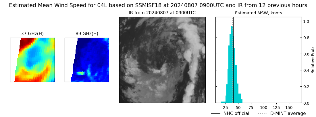 |
| 20240807 | 0738 UTC | AMSR2 | 1004 hPa | 39 kts | 35 kts | 44 kts | 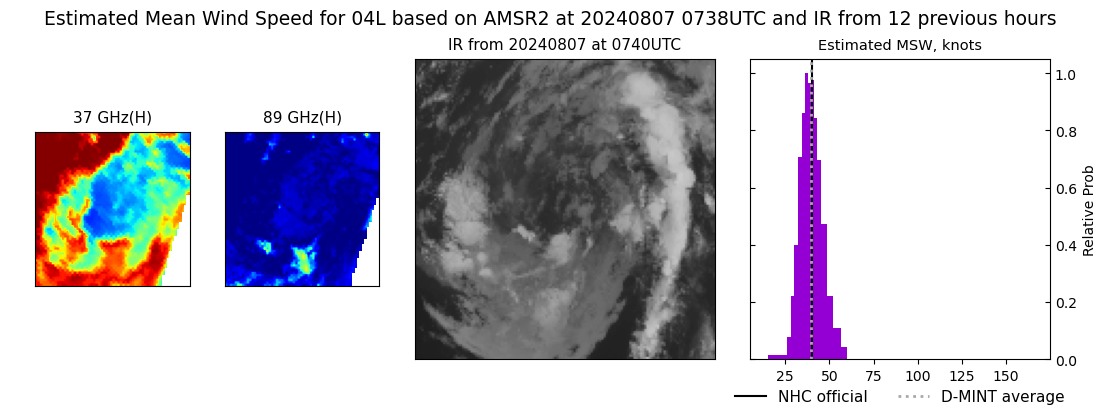 |
| 20240806 | 2334 UTC | TROPICS05 | 996 hPa | 49 kts | 44 kts | 54 kts |  |
| 20240806 | 2333 UTC | GMI | 1004 hPa | 40 kts | 35 kts | 44 kts | 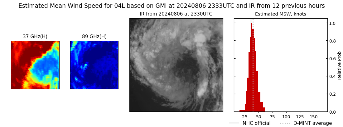 |
| 20240806 | 2330 UTC | SSMISF17 | 1002 hPa | 39 kts | 34 kts | 44 kts | 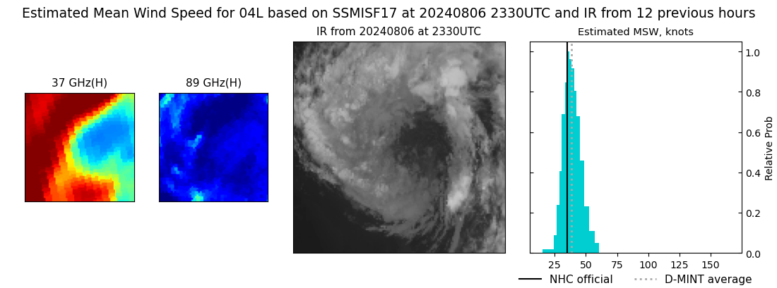 |
| 20240806 | 2250 UTC | TROPICS06 | 997 hPa | 48 kts | 44 kts | 53 kts |  |
| 20240806 | 2243 UTC | SSMISF16 | 1004 hPa | 44 kts | 39 kts | 49 kts |  |
| 20240806 | 2154 UTC | TROPICS05 | 999 hPa | 47 kts | 42 kts | 51 kts |  |
| 20240806 | 2110 UTC | TROPICS06 | 998 hPa | 47 kts | 43 kts | 52 kts | 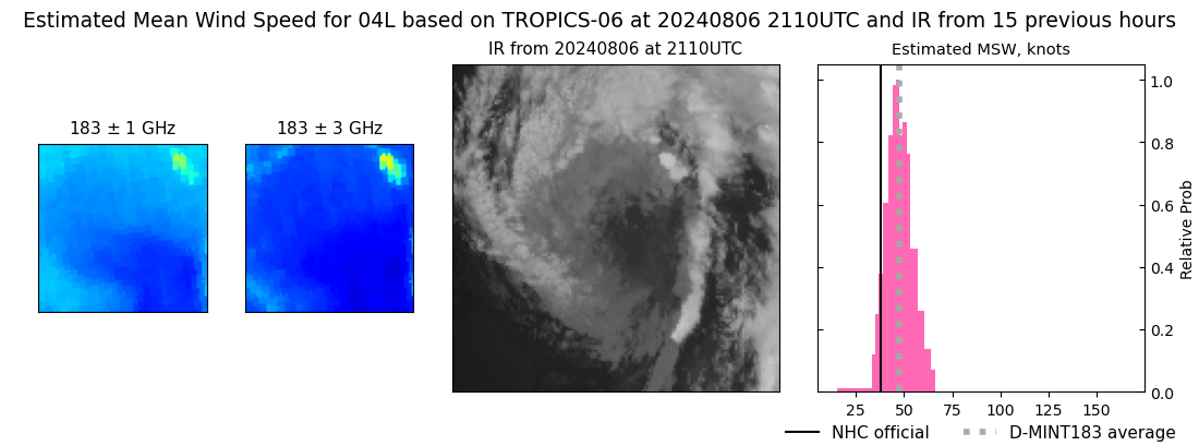 |
| 20240806 | 1842 UTC | ATMS-N21 | 999 hPa | 45 kts | 40 kts | 50 kts |  |
| 20240806 | 1752 UTC | ATMS-N20 | 995 hPa | 47 kts | 42 kts | 53 kts |  |
| 20240806 | 1338 UTC | GMI | 1004 hPa | 39 kts | 35 kts | 44 kts | 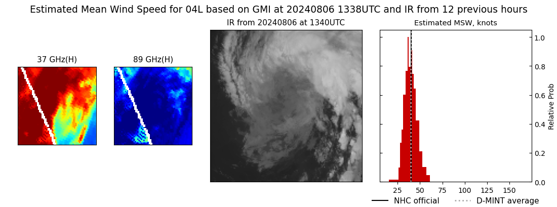 |
| 20240806 | 1209 UTC | SSMISF17 | 1003 hPa | 36 kts | 32 kts | 41 kts |  |
| 20240806 | 1200 UTC | TROPICS03 | 998 hPa | 47 kts | 42 kts | 52 kts |  |
| 20240806 | 1123 UTC | SSMISF16 | 1001 hPa | 48 kts | 42 kts | 53 kts |  |
| 20240806 | 1020 UTC | TROPICS03 | 996 hPa | 49 kts | 45 kts | 54 kts |  |
| 20240806 | 0913 UTC | SSMISF18 | 1000 hPa | 41 kts | 36 kts | 47 kts | 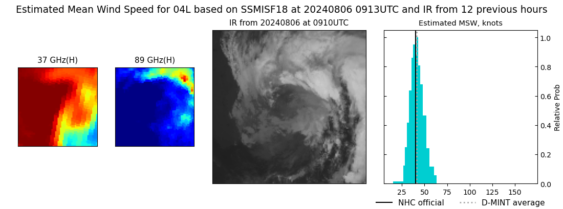 |
| 20240806 | 0750 UTC | ATMS-NPP | 1001 hPa | 56 kts | 50 kts | 61 kts |  |
| 20240806 | 0655 UTC | AMSR2 | 998 hPa | 49 kts | 43 kts | 55 kts | 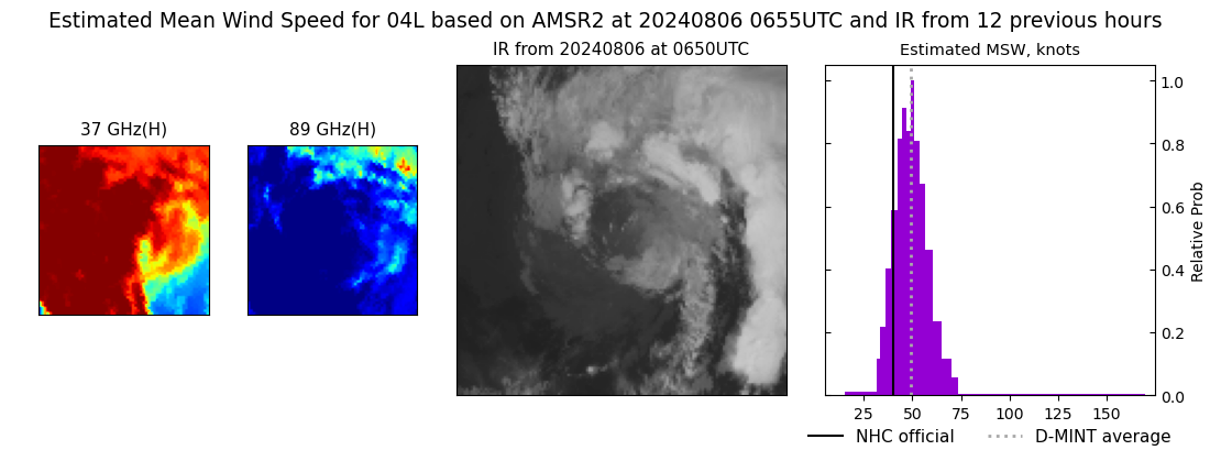 |
| 20240806 | 0635 UTC | ATMS-N20 | 995 hPa | 55 kts | 50 kts | 60 kts | 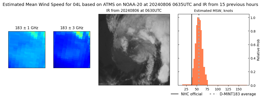 |
| 20240806 | 0053 UTC | TROPICS06 | 986 hPa | 64 kts | 59 kts | 70 kts | 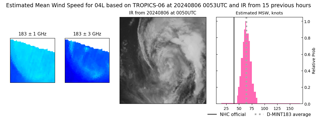 |
| 20240806 | 0008 UTC | GMI | 995 hPa | 48 kts | 42 kts | 55 kts | 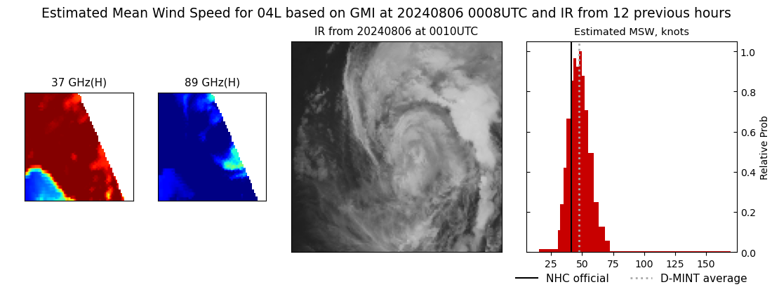 |
| 20240805 | 2355 UTC | TROPICS05 | 987 hPa | 61 kts | 56 kts | 66 kts | 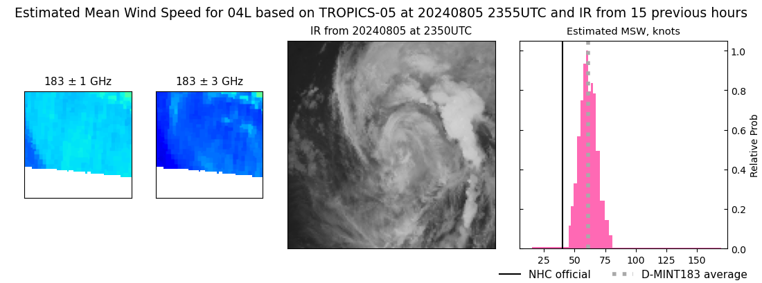 |
| 20240805 | 2343 UTC | SSMISF17 | 996 hPa | 55 kts | 48 kts | 62 kts | 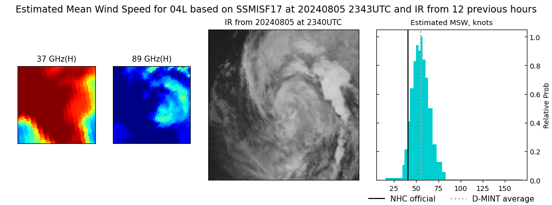 |
| 20240805 | 2256 UTC | SSMISF16 | 988 hPa | 61 kts | 54 kts | 67 kts |  |
| 20240805 | 2215 UTC | TROPICS05 | 990 hPa | 63 kts | 58 kts | 69 kts |  |
| 20240805 | 2046 UTC | SSMISF18 | 991 hPa | 61 kts | 54 kts | 68 kts | 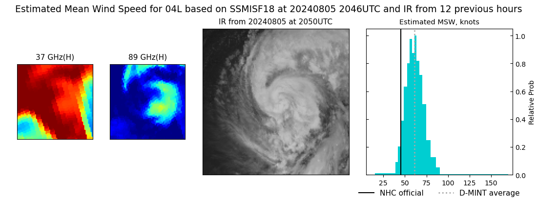 |
| 20240805 | 1901 UTC | ATMS-N21 | 985 hPa | 68 kts | 63 kts | 74 kts |  |
| 20240805 | 1850 UTC | AMSR2 | 989 hPa | 66 kts | 59 kts | 74 kts | 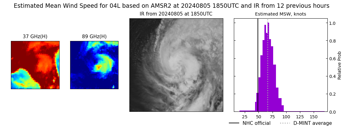 |
| 20240805 | 1224 UTC | SSMISF17 | 983 hPa | 79 kts | 71 kts | 87 kts | 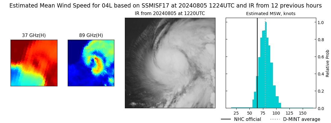 |
| 20240805 | 1136 UTC | SSMISF16 | 981 hPa | 74 kts | 67 kts | 81 kts | 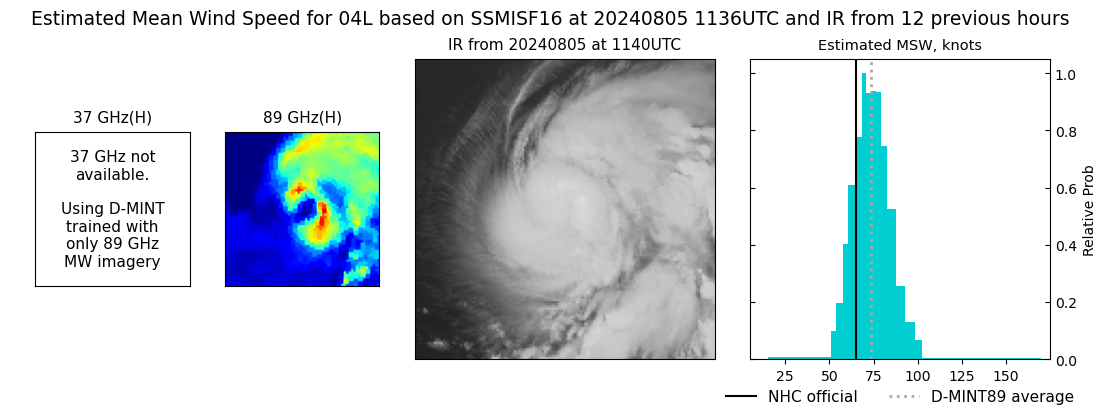 |
| 20240805 | 0927 UTC | SSMISF18 | 980 hPa | 75 kts | 69 kts | 82 kts |  |
| 20240805 | 0751 UTC | AMSR2 | 987 hPa | 67 kts | 61 kts | 73 kts | 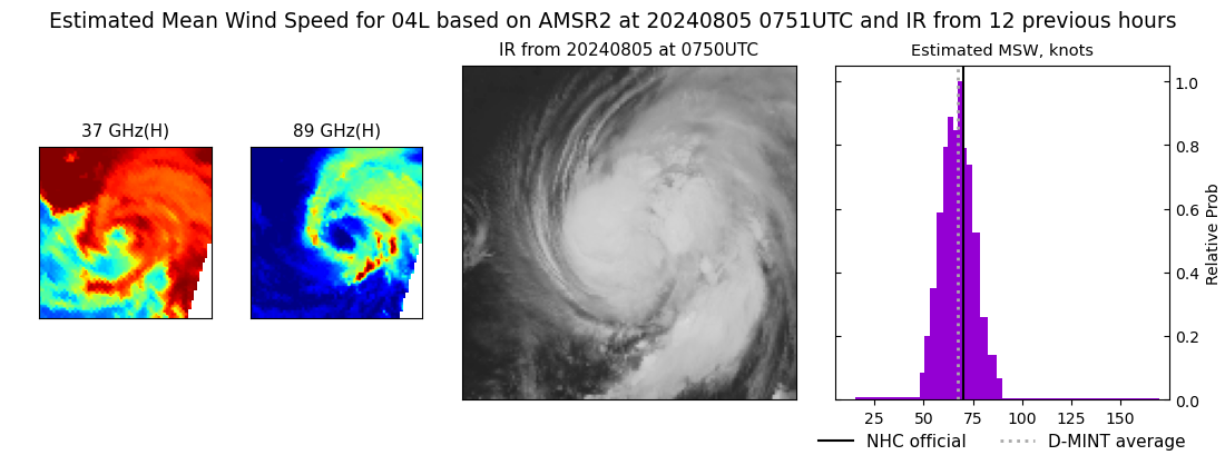 |
| 20240805 | 0744 UTC | ATMS-N21 | 988 hPa | 68 kts | 62 kts | 74 kts | 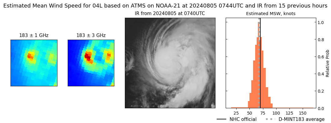 |
| 20240805 | 0654 UTC | ATMS-N20 | 980 hPa | 72 kts | 67 kts | 78 kts | 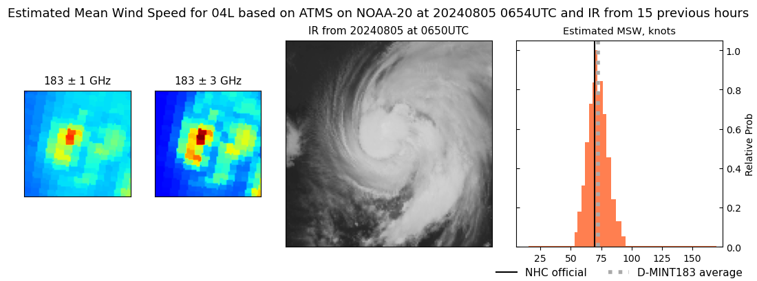 |
| 20240805 | 0156 UTC | TROPICS05 | 994 hPa | 58 kts | 53 kts | 63 kts | 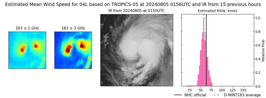 |
| 20240805 | 0116 UTC | TROPICS06 | 995 hPa | 61 kts | 56 kts | 66 kts |  |
| 20240804 | 2357 UTC | SSMISF17 | 1001 hPa | 56 kts | 51 kts | 61 kts | 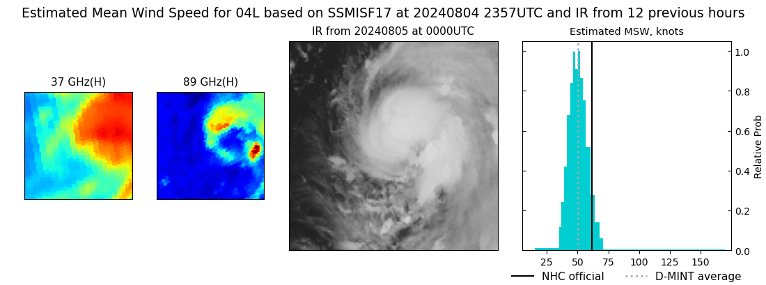 |
| 20240804 | 2308 UTC | SSMISF16 | 995 hPa | 55 kts | 50 kts | 61 kts | 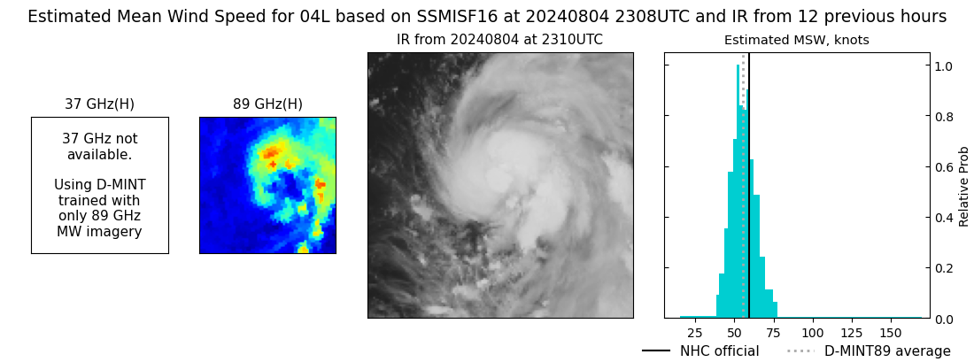 |
| 20240804 | 2059 UTC | SSMISF18 | 997 hPa | 52 kts | 47 kts | 57 kts | 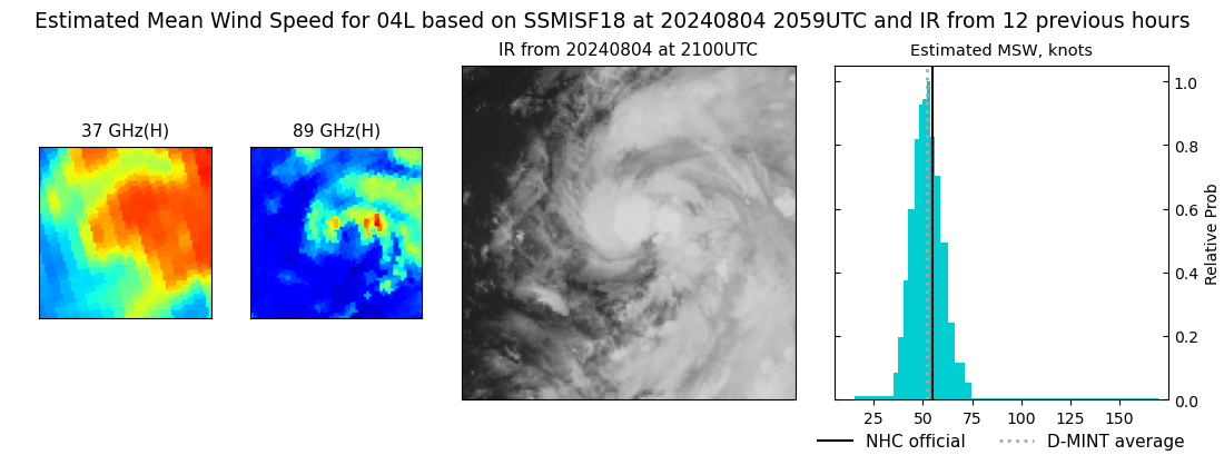 |
| 20240804 | 1919 UTC | ATMS-N21 | 993 hPa | 47 kts | 43 kts | 52 kts | 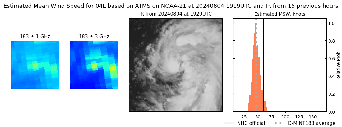 |
| 20240804 | 1828 UTC | ATMS-N20 | 999 hPa | 46 kts | 42 kts | 50 kts |  |
| 20240804 | 1150 UTC | SSMISF16 | 1004 hPa | 37 kts | 33 kts | 41 kts |  |
| 20240804 | 0942 UTC | SSMISF18 | 1004 hPa | 35 kts | 31 kts | 39 kts | 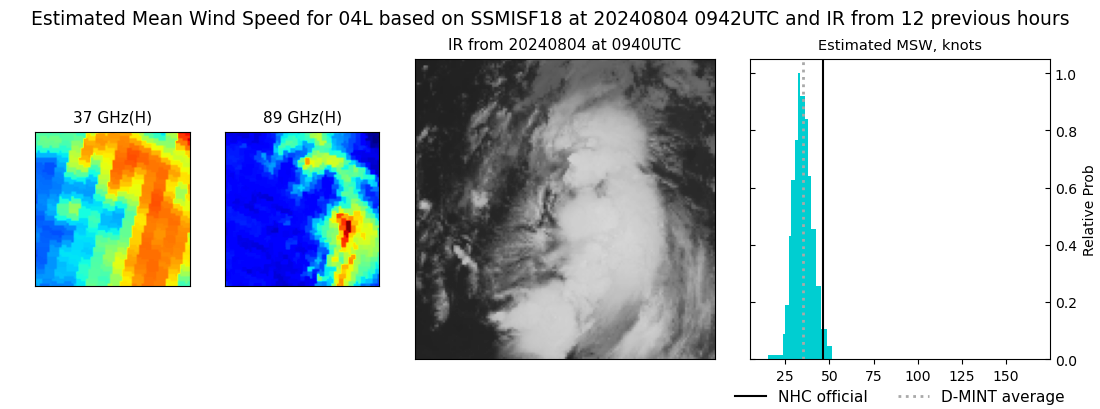 |
| 20240804 | 0714 UTC | ATMS-N20 | 1003 hPa | 40 kts | 37 kts | 44 kts |  |
| 20240804 | 0709 UTC | AMSR2 | 1004 hPa | 37 kts | 34 kts | 41 kts | 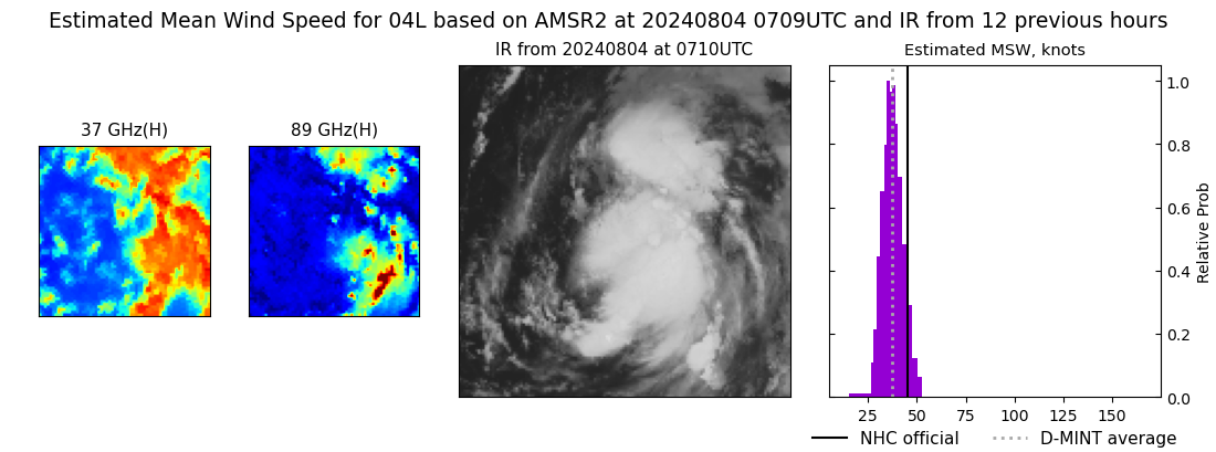 |
| 20240803 | 2321 UTC | SSMISF16 | 1004 hPa | 45 kts | 41 kts | 51 kts | 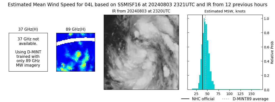 |
| 20240803 | 2112 UTC | SSMISF18 | 1005 hPa | 38 kts | 34 kts | 42 kts | 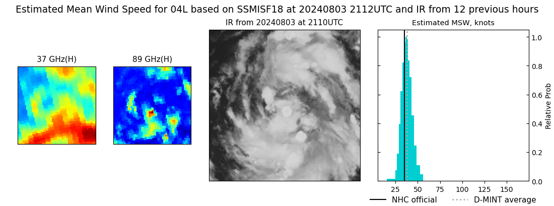 |
| 20240803 | 1901 UTC | AMSR2 | 1006 hPa | 32 kts | 28 kts | 35 kts | 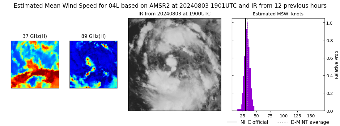 |
| 20240803 | 1845 UTC | ATMS-N20 | 1005 hPa | 38 kts | 34 kts | 42 kts | 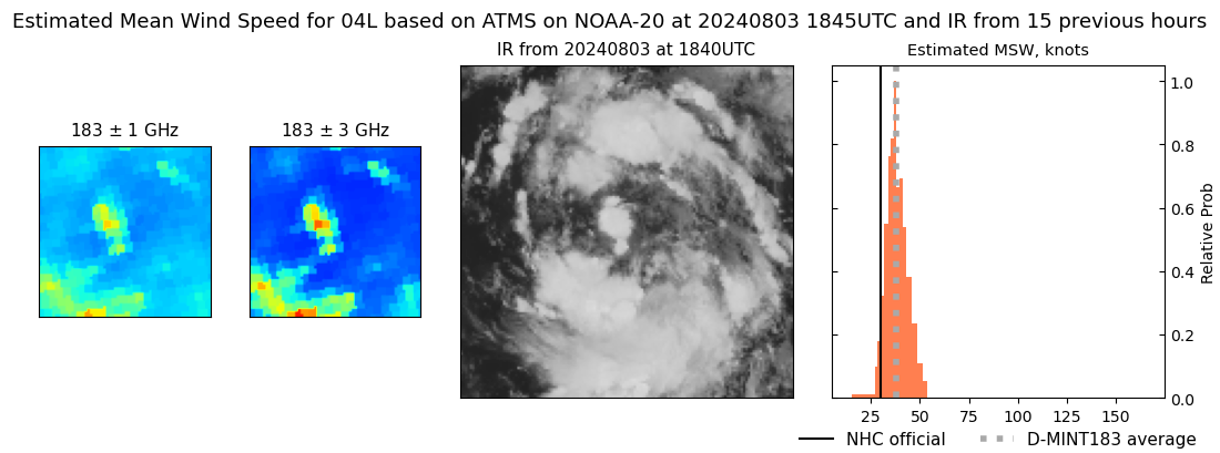 |
| 20240803 | 1411 UTC | GMI | 1009 hPa | 33 kts | 30 kts | 37 kts | 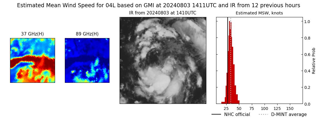 |
| 20240803 | 1206 UTC | SSMISF16 | 1008 hPa | 38 kts | 34 kts | 42 kts |  |
| 20240803 | 0956 UTC | SSMISF18 | 1006 hPa | 39 kts | 34 kts | 43 kts | 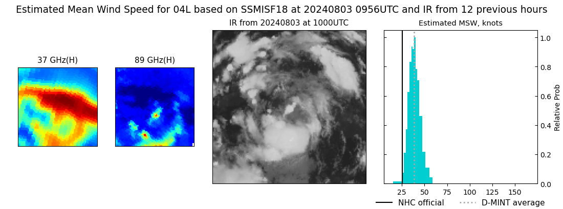 |
| 20240803 | 0733 UTC | ATMS-N20 | 1009 hPa | 29 kts | 26 kts | 32 kts | 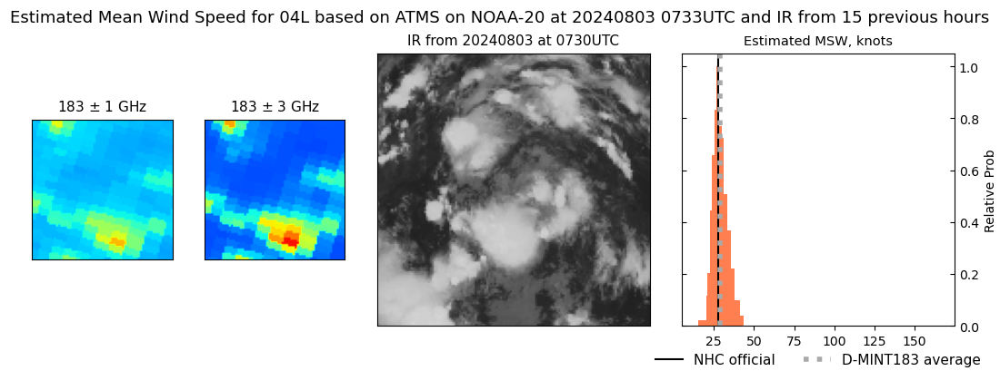 |
| 20240803 | 0709 UTC | ATMS-NPP | 1007 hPa | 33 kts | 29 kts | 37 kts |  |
| 20240803 | 0643 UTC | ATMS-N21 | 1008 hPa | 37 kts | 33 kts | 41 kts |  |
| 20240803 | 0421 UTC | TROPICS05 | 1003 hPa | 35 kts | 32 kts | 38 kts | 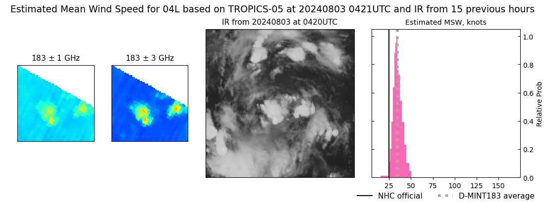 |
| 20240803 | 0345 UTC | TROPICS06 | 1006 hPa | 35 kts | 31 kts | 39 kts | 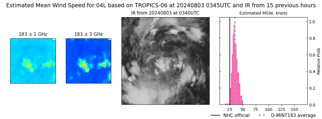 |
| 20240803 | 0046 UTC | GMI | NaN hPa | 32 kts | 29 kts | 36 kts | 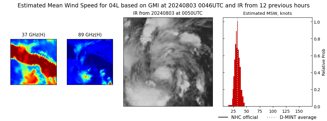 |
| 20240803 | 0043 UTC | GMI | NaN hPa | 33 kts | 30 kts | 37 kts | 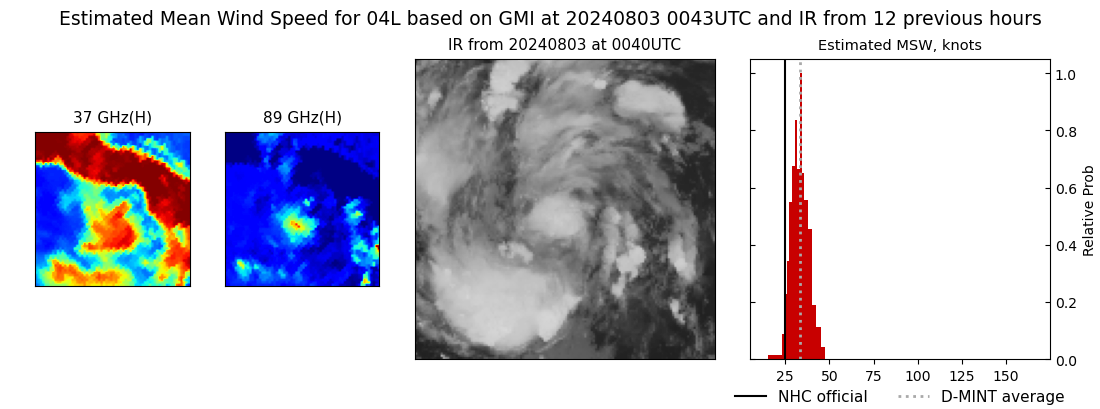 |
| 20240802 | 1817 UTC | AMSR2 | NaN hPa | 34 kts | 30 kts | 37 kts | 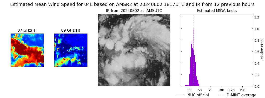 |
| 20240802 | 1127 UTC | SSMISF17 | NaN hPa | 34 kts | 30 kts | 39 kts |  |
| 20240802 | 0409 UTC | TROPICS06 | 1008 hPa | 30 kts | 27 kts | 34 kts |  |
| 20240801 | 2255 UTC | SSMISF17 | NaN hPa | 29 kts | 25 kts | 33 kts |  |
| 20240801 | 1400 UTC | GMI | NaN hPa | 28 kts | 24 kts | 33 kts |  |
|
