|
Storm: 06L
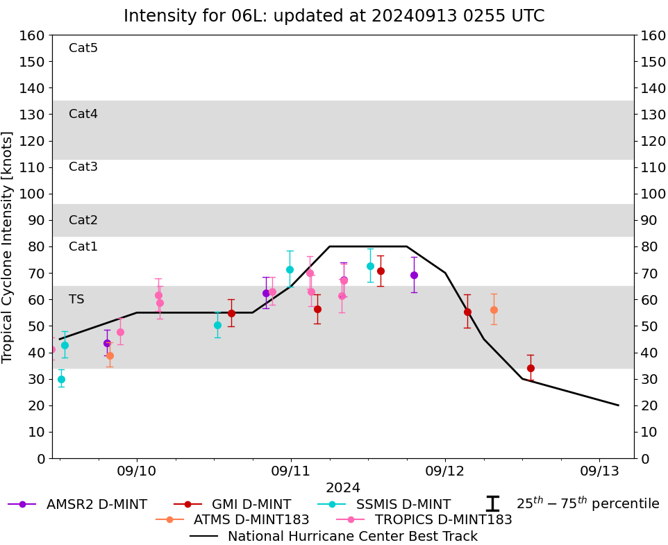
D-MINT HISTORY FILE for 2024_06L
| Date | Time | MW Sensor | MSLP | Vmax
(30th-70th percentile average) | Vmax
25th percentile | Vmax
75th percentile | Image |
| 20240913 | 1858 UTC | AMSR2 | 1000 hPa | 28 kts | 24 kts | 32 kts | 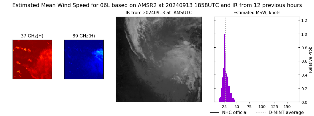 |
| 20240913 | 0755 UTC | AMSR2 | 1001 hPa | 25 kts | 21 kts | 29 kts | 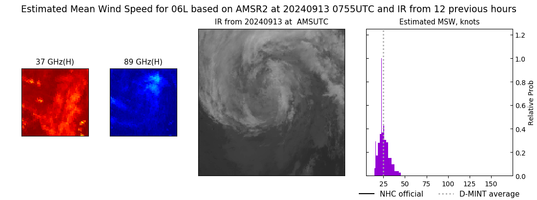 |
| 20240912 | 1313 UTC | GMI | 998 hPa | 34 kts | 30 kts | 39 kts | 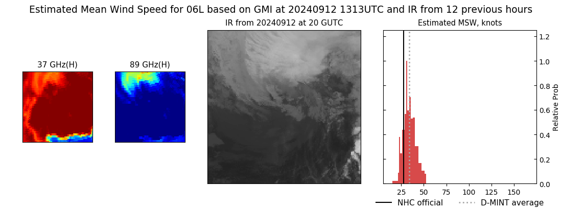 |
| 20240912 | 0731 UTC | ATMS-N21 | 981 hPa | 56 kts | 50 kts | 62 kts | 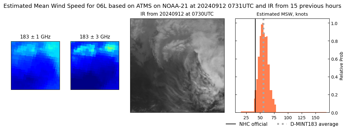 |
| 20240912 | 0323 UTC | GMI | 991 hPa | 55 kts | 49 kts | 62 kts | 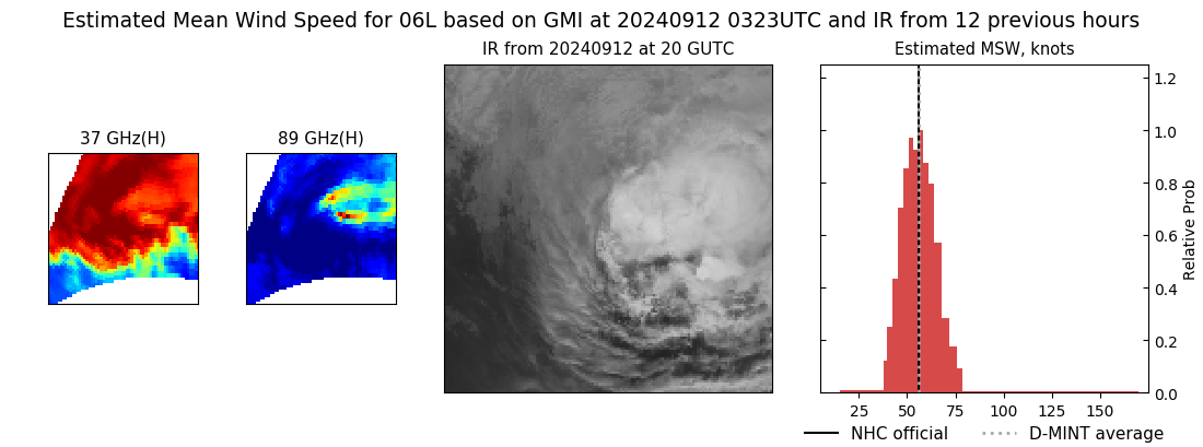 |
| 20240911 | 1908 UTC | AMSR2 | 984 hPa | 69 kts | 63 kts | 76 kts | 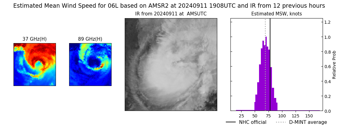 |
| 20240911 | 1353 UTC | GMI | 986 hPa | 71 kts | 65 kts | 77 kts | 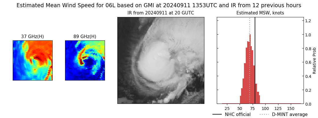 |
| 20240911 | 1217 UTC | SSMISF17 | 987 hPa | 73 kts | 67 kts | 79 kts | 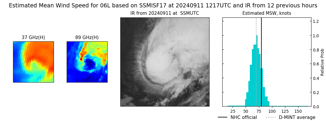 |
| 20240911 | 0810 UTC | TROPICS05 | 986 hPa | 67 kts | 61 kts | 73 kts | 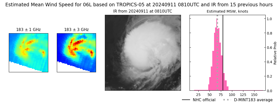 |
| 20240911 | 0809 UTC | AMSR2 | 988 hPa | 68 kts | 61 kts | 74 kts | 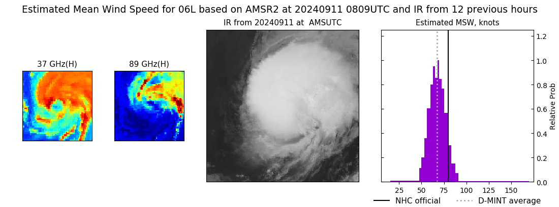 |
| 20240911 | 0753 UTC | TROPICS06 | 991 hPa | 61 kts | 55 kts | 68 kts | 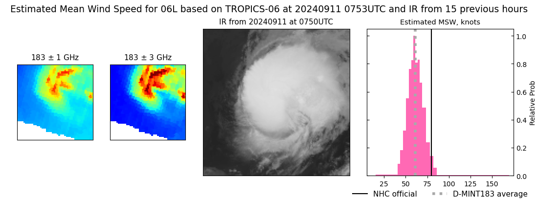 |
| 20240911 | 0403 UTC | GMI | 988 hPa | 56 kts | 51 kts | 62 kts | 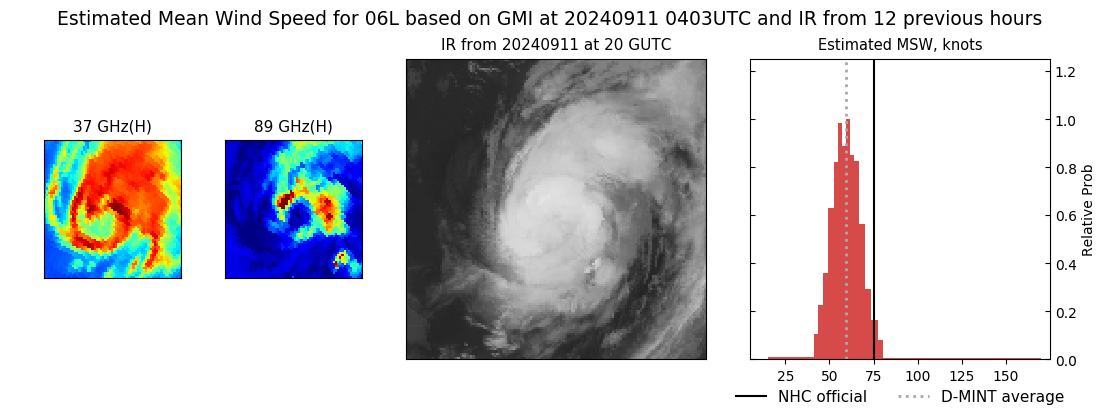 |
| 20240911 | 0309 UTC | TROPICS05 | 988 hPa | 63 kts | 57 kts | 69 kts | 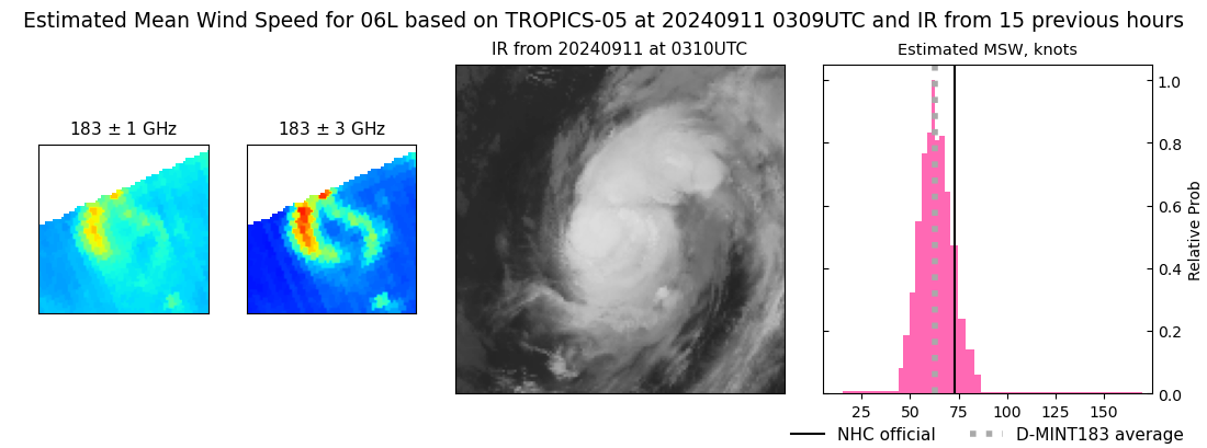 |
| 20240911 | 0252 UTC | TROPICS06 | 982 hPa | 70 kts | 64 kts | 76 kts | 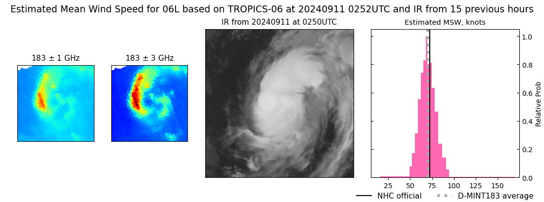 |
| 20240910 | 2348 UTC | SSMISF17 | 984 hPa | 71 kts | 65 kts | 78 kts | 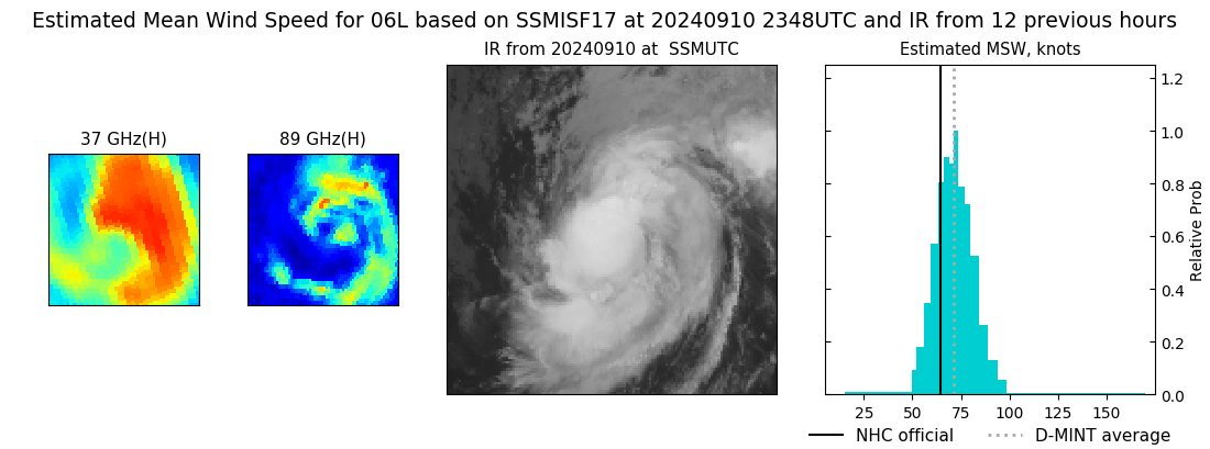 |
| 20240910 | 2102 UTC | TROPICS03 | 993 hPa | 63 kts | 58 kts | 68 kts | 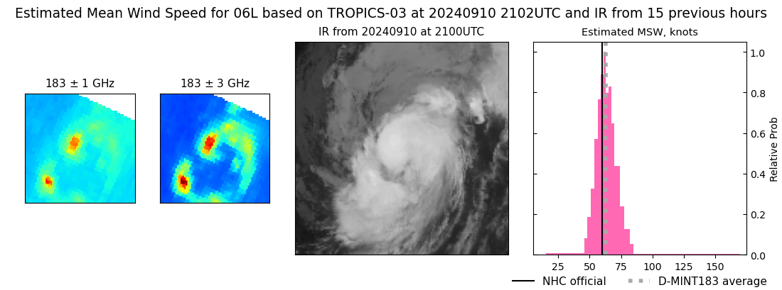 |
| 20240910 | 2003 UTC | AMSR2 | 987 hPa | 62 kts | 57 kts | 68 kts | 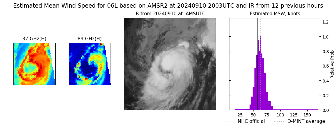 |
| 20240910 | 1438 UTC | GMI | 995 hPa | 55 kts | 50 kts | 60 kts | 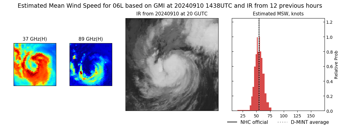 |
| 20240910 | 1231 UTC | SSMISF17 | 1001 hPa | 50 kts | 46 kts | 55 kts | 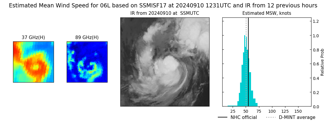 |
| 20240910 | 0333 UTC | TROPICS05 | 993 hPa | 59 kts | 53 kts | 65 kts | 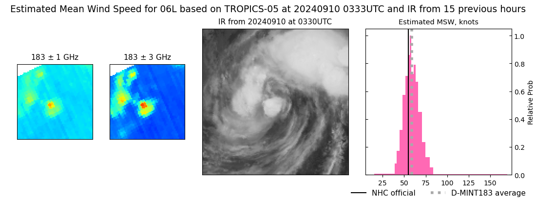 |
| 20240910 | 0318 UTC | TROPICS06 | 996 hPa | 62 kts | 56 kts | 68 kts | 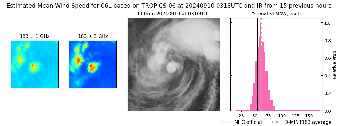 |
| 20240909 | 2125 UTC | TROPICS03 | 998 hPa | 48 kts | 43 kts | 53 kts | 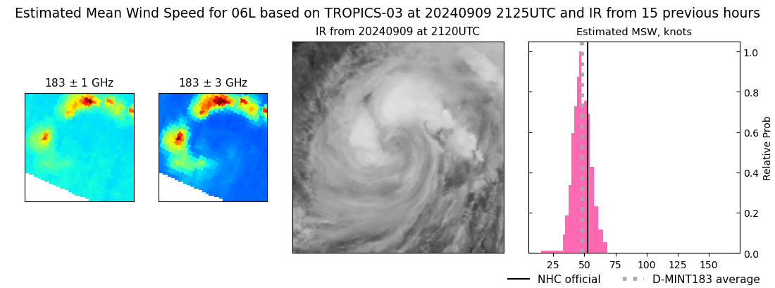 |
| 20240909 | 1944 UTC | ATMS-N21 | 1004 hPa | 39 kts | 35 kts | 44 kts | 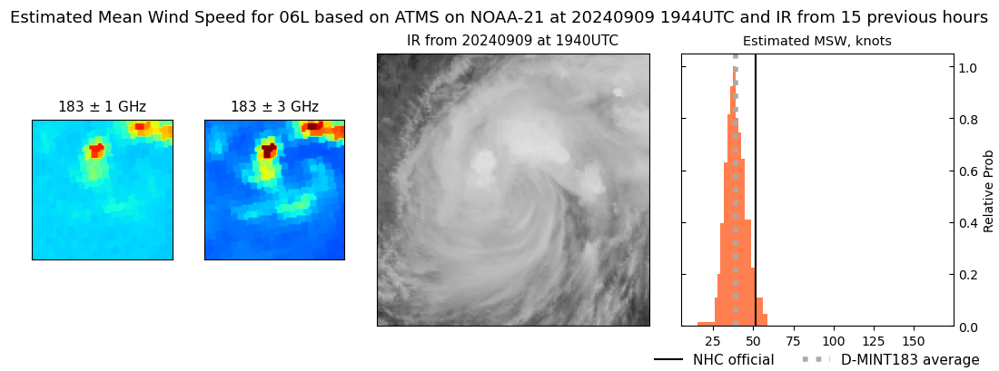 |
| 20240909 | 1919 UTC | AMSR2 | 999 hPa | 43 kts | 39 kts | 49 kts | 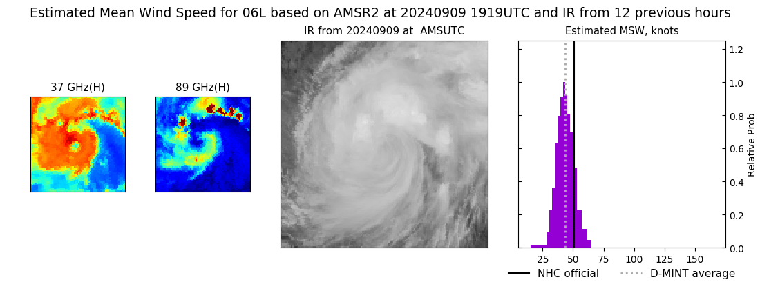 |
| 20240909 | 1245 UTC | SSMISF17 | NaN hPa | 43 kts | 38 kts | 48 kts | 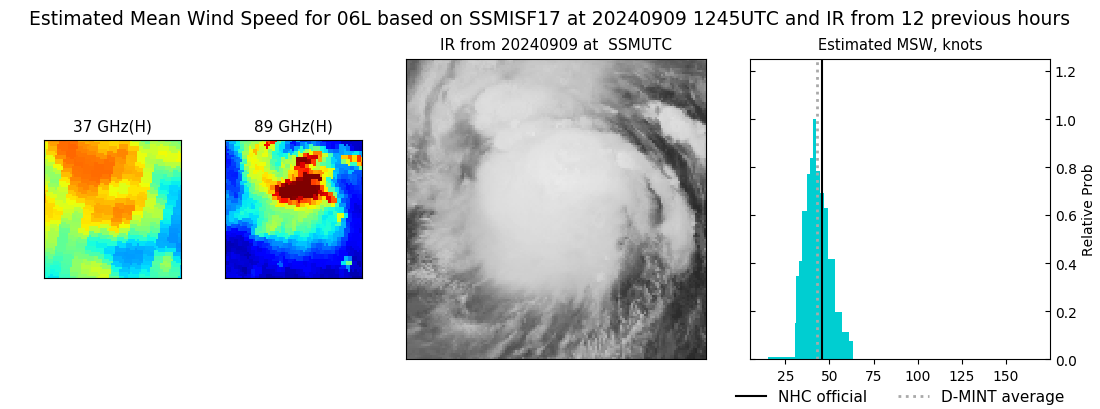 |
| 20240909 | 1214 UTC | SSMISF16 | NaN hPa | 30 kts | 27 kts | 34 kts | 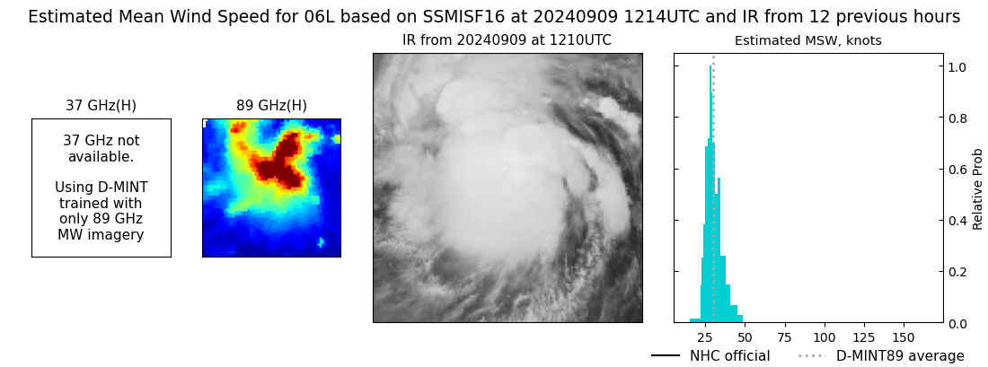 |
| 20240909 | 1039 UTC | TROPICS05 | 1000 hPa | 41 kts | 37 kts | 46 kts | 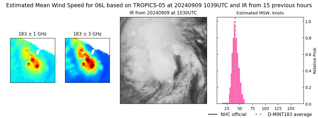 |
| 20240909 | 1000 UTC | SSMISF18 | NaN hPa | 32 kts | 29 kts | 36 kts | 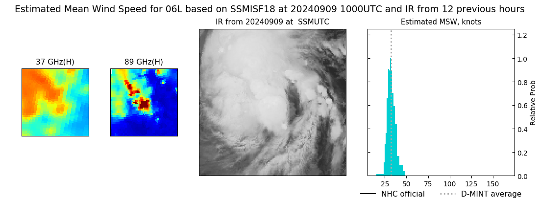 |
| 20240909 | 0823 UTC | AMSR2 | NaN hPa | 36 kts | 32 kts | 40 kts | 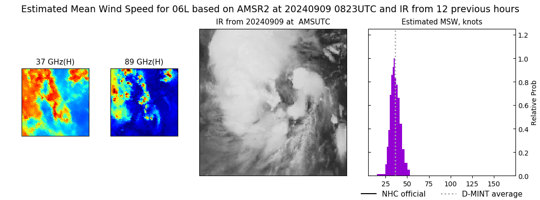 |
| 20240909 | 0357 UTC | TROPICS05 | 1002 hPa | 37 kts | 33 kts | 41 kts | 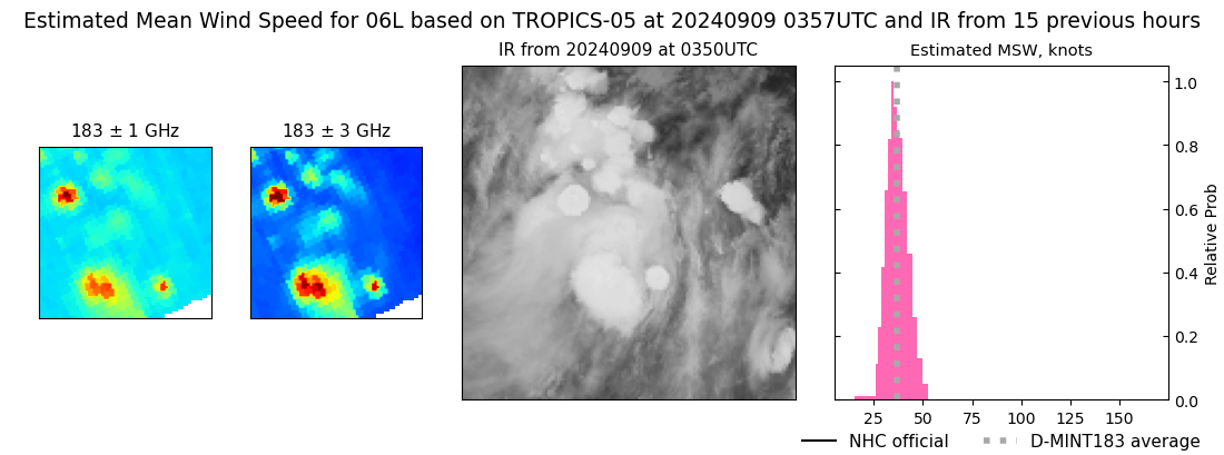 |
| 20240909 | 0014 UTC | SSMISF17 | NaN hPa | 34 kts | 31 kts | 38 kts | 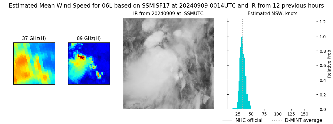 |
| 20240908 | 2343 UTC | SSMISF16 | NaN hPa | 30 kts | 27 kts | 33 kts | 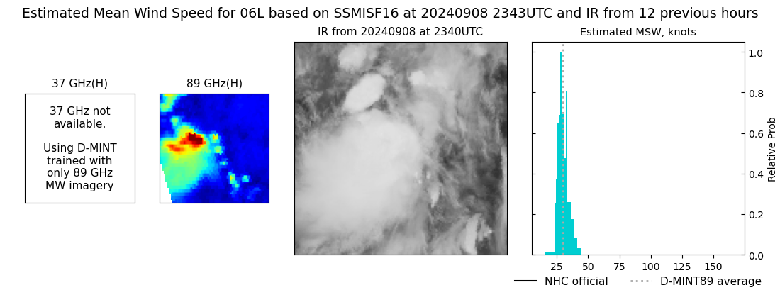 |
| 20240908 | 1300 UTC | SSMISF17 | NaN hPa | 31 kts | 28 kts | 35 kts |  |
| 20240908 | 1227 UTC | SSMISF16 | NaN hPa | 32 kts | 28 kts | 36 kts |  |
| 20240908 | 1014 UTC | SSMISF18 | NaN hPa | 35 kts | 31 kts | 39 kts |  |
| 20240908 | 0440 UTC | GMI | NaN hPa | 29 kts | 26 kts | 32 kts |  |
| 20240908 | 0027 UTC | SSMISF17 | NaN hPa | 30 kts | 26 kts | 35 kts |  |
| 20240907 | 2355 UTC | SSMISF16 | NaN hPa | 26 kts | 22 kts | 30 kts |  |
| 20240907 | 2141 UTC | SSMISF18 | NaN hPa | 28 kts | 24 kts | 33 kts |  |
| 20240907 | 1929 UTC | AMSR2 | NaN hPa | 27 kts | 24 kts | 31 kts |  |
| 20240907 | 1517 UTC | GMI | NaN hPa | 26 kts | 23 kts | 29 kts |  |
|
