|
Storm: 07W
D-MINT HISTORY FILE for 2024_07W
| Date | Time | MW Sensor | MSLP | Vmax
(30th-70th percentile average) | Vmax
25th percentile | Vmax
75th percentile | Image |
| 20240813 | 2113 UTC | GMI | 1001 hPa | 24 kts | 23 kts | 26 kts | 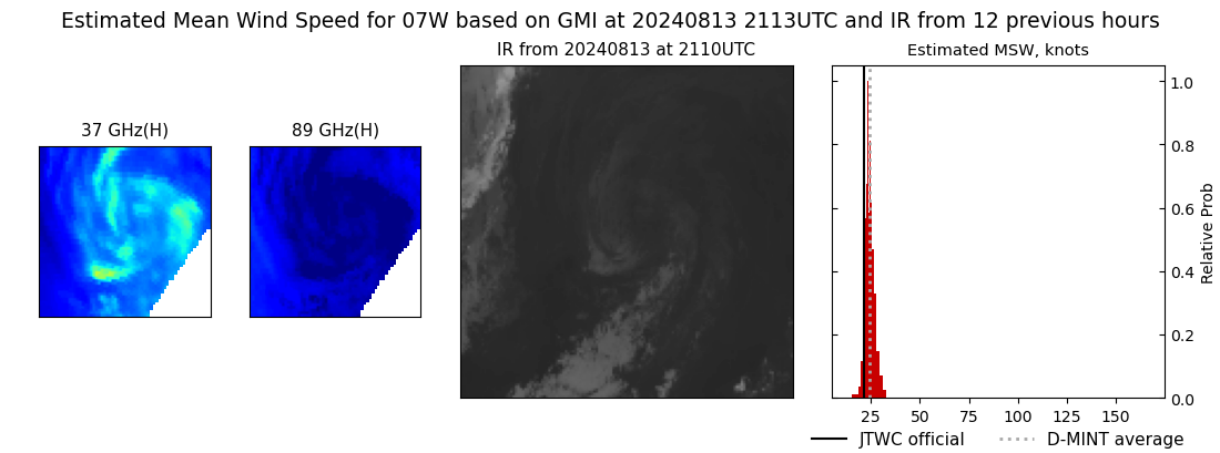 |
| 20240813 | 2041 UTC | SSMISF17 | 1001 hPa | 27 kts | 25 kts | 30 kts | 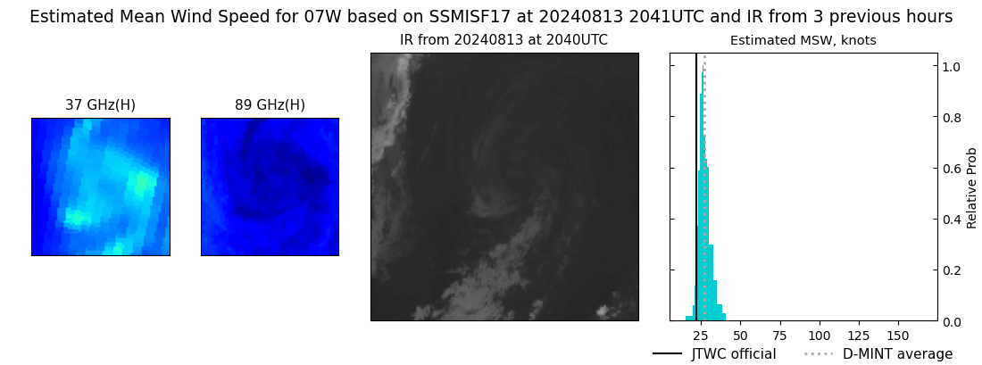 |
| 20240813 | 1609 UTC | ATMS-N20 | 1001 hPa | 28 kts | 26 kts | 31 kts | 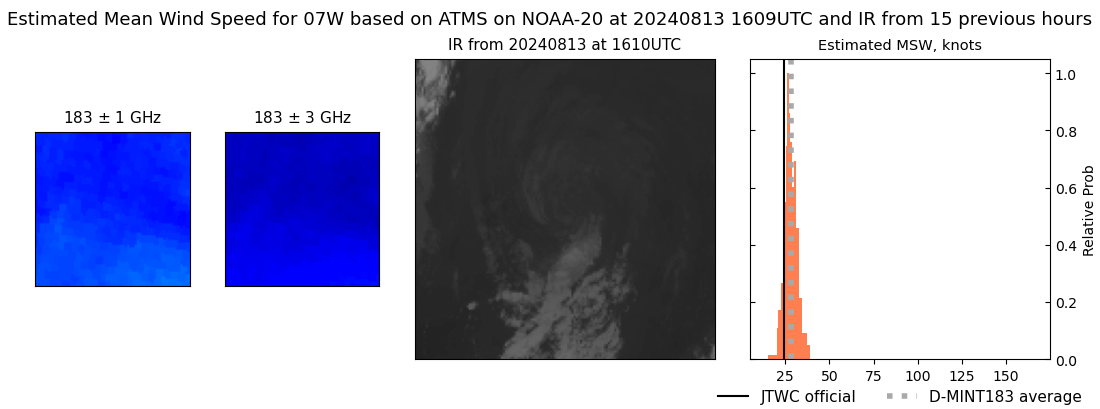 |
| 20240813 | 0818 UTC | SSMISF17 | 1002 hPa | 26 kts | 24 kts | 28 kts | 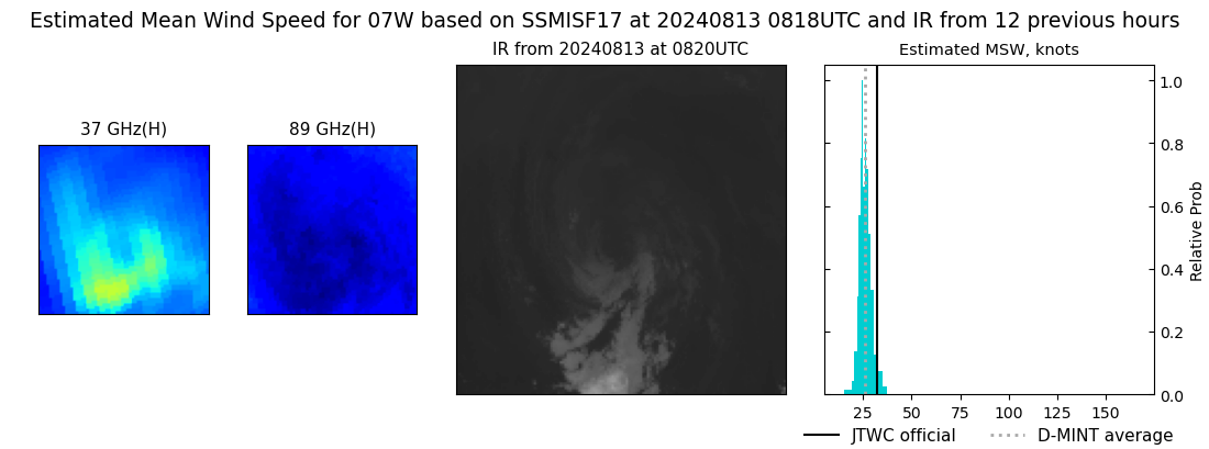 |
| 20240813 | 0734 UTC | SSMISF16 | 1002 hPa | 25 kts | 24 kts | 28 kts | 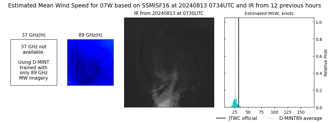 |
| 20240813 | 0603 UTC | GMI | 1001 hPa | 27 kts | 25 kts | 29 kts | 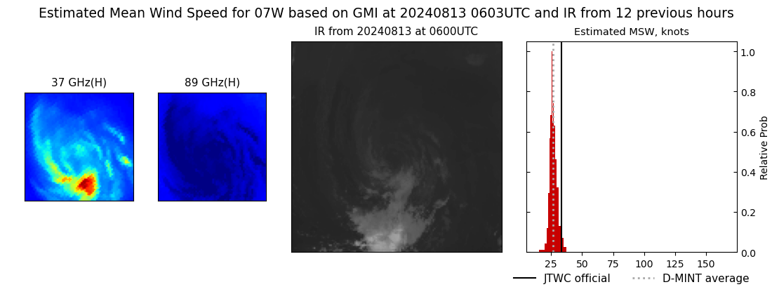 |
| 20240813 | 0523 UTC | SSMISF18 | 1002 hPa | 27 kts | 25 kts | 29 kts | 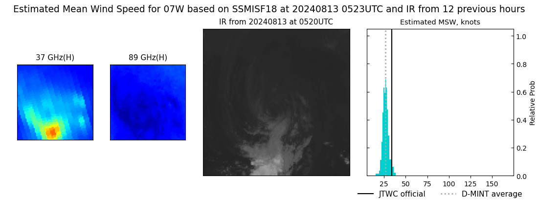 |
| 20240813 | 0312 UTC | AMSR2 | 1001 hPa | 26 kts | 24 kts | 28 kts | 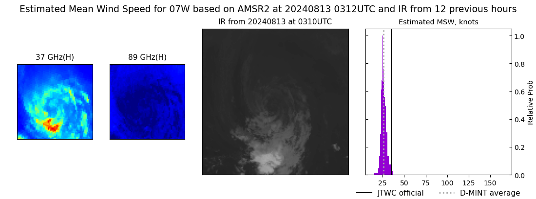 |
| 20240812 | 2056 UTC | SSMISF17 | 1002 hPa | 27 kts | 25 kts | 30 kts | 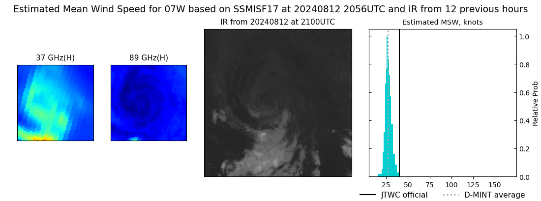 |
| 20240812 | 2011 UTC | SSMISF16 | 1002 hPa | 27 kts | 25 kts | 30 kts | 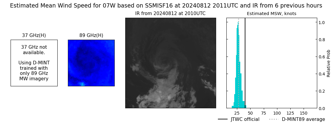 |
| 20240812 | 1802 UTC | SSMISF18 | 1001 hPa | 27 kts | 25 kts | 30 kts | 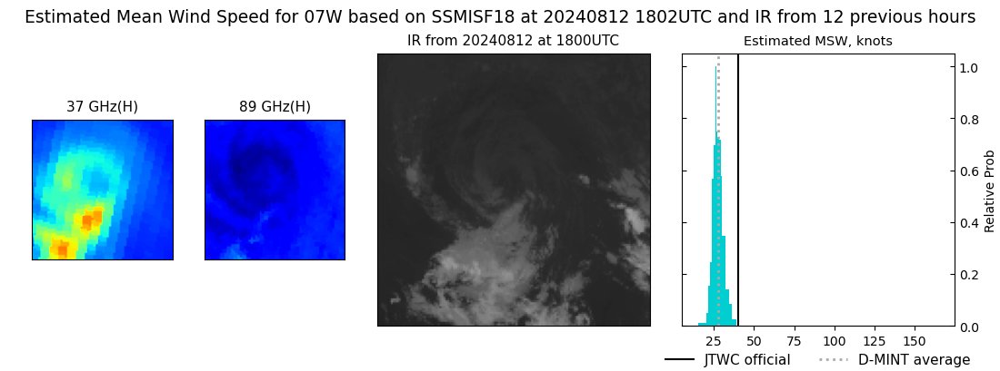 |
| 20240812 | 1610 UTC | AMSR2 | 1001 hPa | 29 kts | 27 kts | 32 kts | 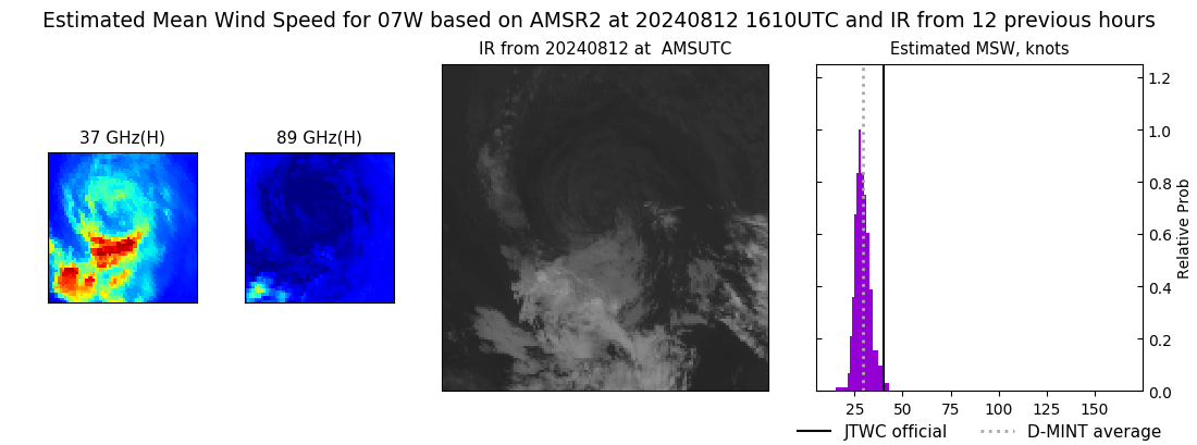 |
| 20240812 | 0746 UTC | SSMISF16 | 997 hPa | 35 kts | 31 kts | 39 kts |  |
|
