|
Storm: 08L
D-MINT HISTORY FILE for 2024_08L
| Date | Time | MW Sensor | MSLP | Vmax
(30th-70th percentile average) | Vmax
25th percentile | Vmax
75th percentile | Image |
| 20240916 | 0648 UTC | AMSR2 | NaN hPa | 39 kts | 35 kts | 43 kts | 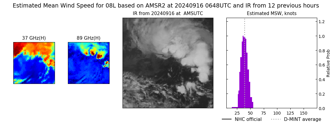 |
| 20240915 | 1844 UTC | AMSR2 | NaN hPa | 35 kts | 31 kts | 39 kts | 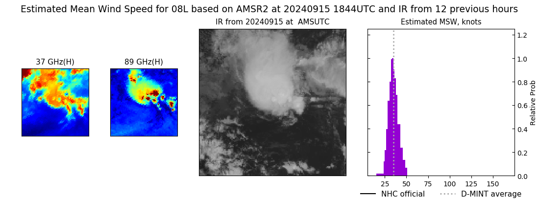 |
| 20240915 | 1547 UTC | TROPICS03 | NaN hPa | 38 kts | 34 kts | 43 kts | 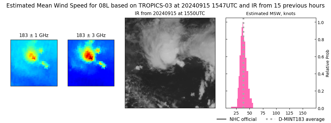 |
| 20240915 | 1407 UTC | TROPICS03 | NaN hPa | 37 kts | 34 kts | 41 kts | 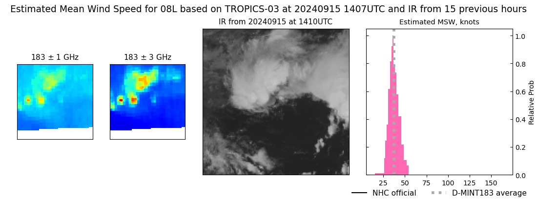 |
| 20240915 | 1227 UTC | TROPICS03 | NaN hPa | 37 kts | 33 kts | 41 kts | 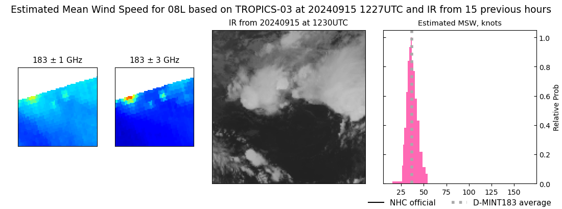 |
| 20240915 | 0456 UTC | TROPICS05 | NaN hPa | 32 kts | 29 kts | 37 kts | 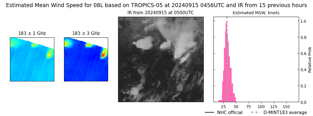 |
| 20240915 | 0430 UTC | TROPICS06 | NaN hPa | 32 kts | 29 kts | 36 kts | 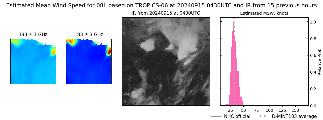 |
| 20240915 | 0316 UTC | TROPICS05 | NaN hPa | 36 kts | 32 kts | 41 kts | 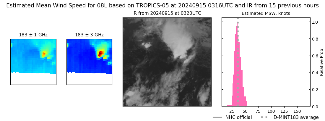 |
| 20240915 | 0136 UTC | TROPICS05 | NaN hPa | 35 kts | 31 kts | 39 kts | 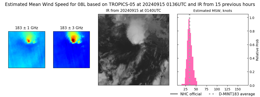 |
| 20240915 | 0111 UTC | TROPICS06 | NaN hPa | 36 kts | 32 kts | 41 kts | 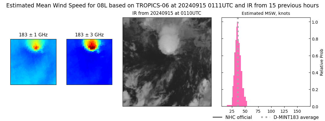 |
|
