|
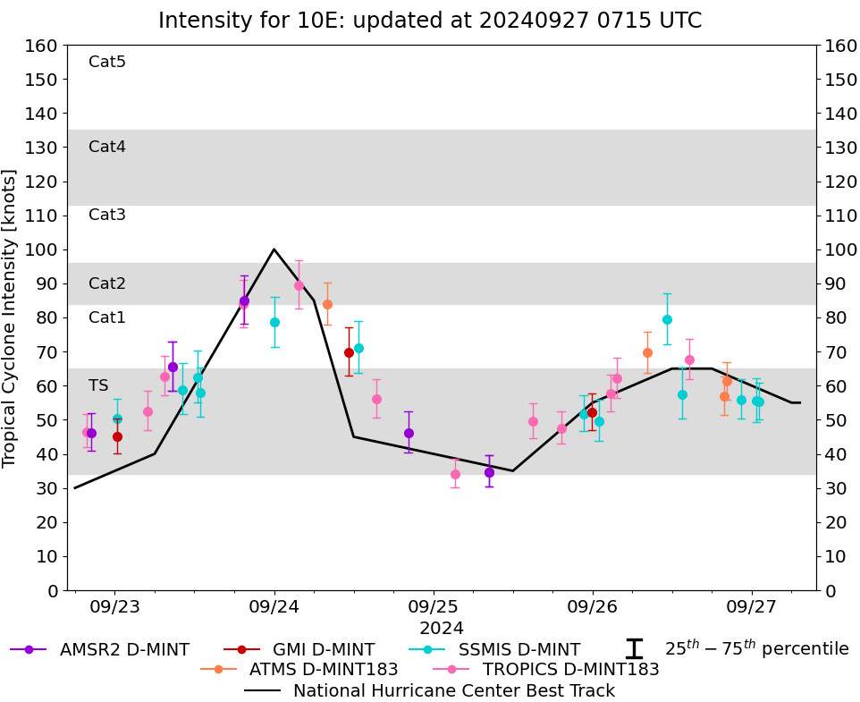
Storm: 10E
D-MINT HISTORY FILE for 2024_10E
| Date | Time | MW Sensor | MSLP | Vmax
(30th-70th percentile average) | Vmax
25th percentile | Vmax
75th percentile | Image |
| 20240927 | 1953 UTC | ATMS-N20 | 994 hPa | 49 kts | 43 kts | 54 kts | 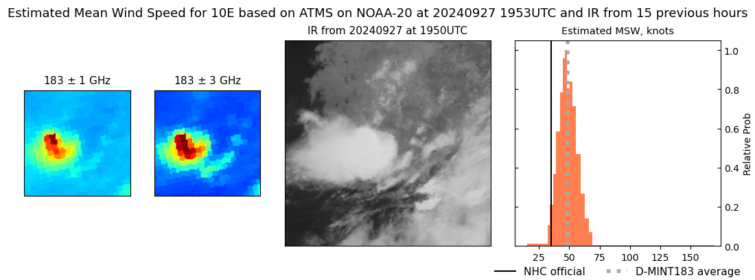 |
| 20240927 | 1340 UTC | SSMISF17 | 997 hPa | 48 kts | 43 kts | 54 kts | 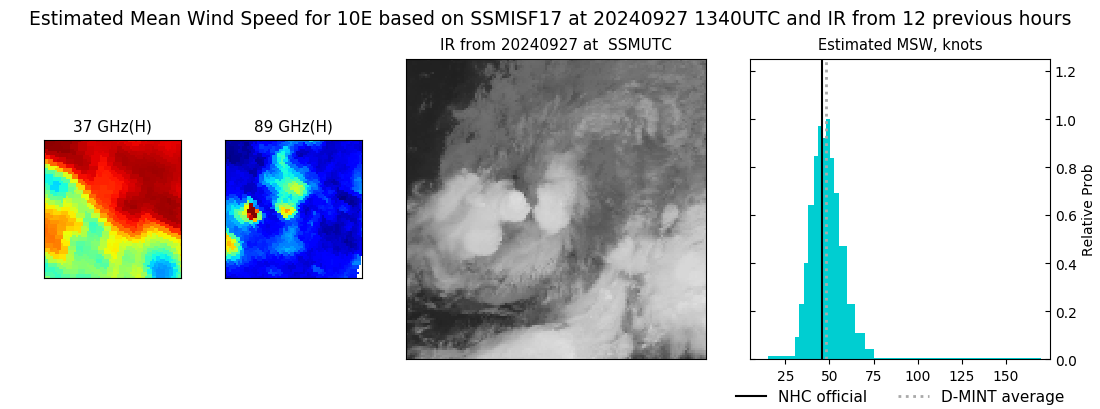 |
| 20240927 | 1315 UTC | SSMISF16 | 997 hPa | 43 kts | 38 kts | 49 kts | 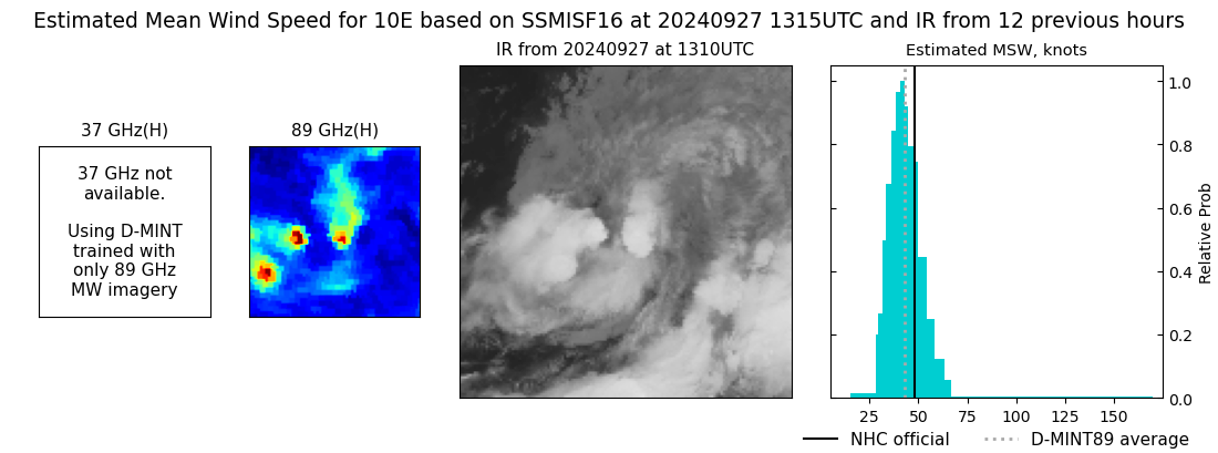 |
| 20240927 | 1058 UTC | SSMISF18 | 997 hPa | 50 kts | 45 kts | 56 kts | 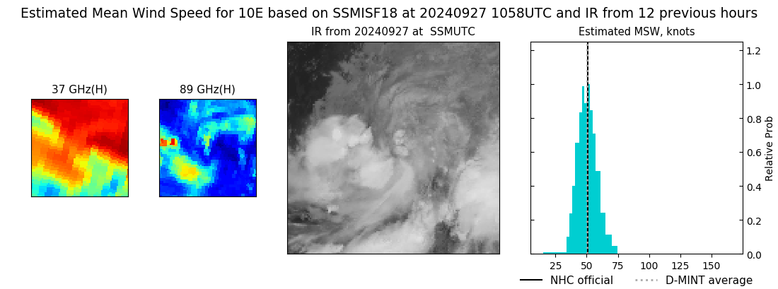 |
| 20240927 | 1043 UTC | GMI | 997 hPa | 44 kts | 39 kts | 50 kts | 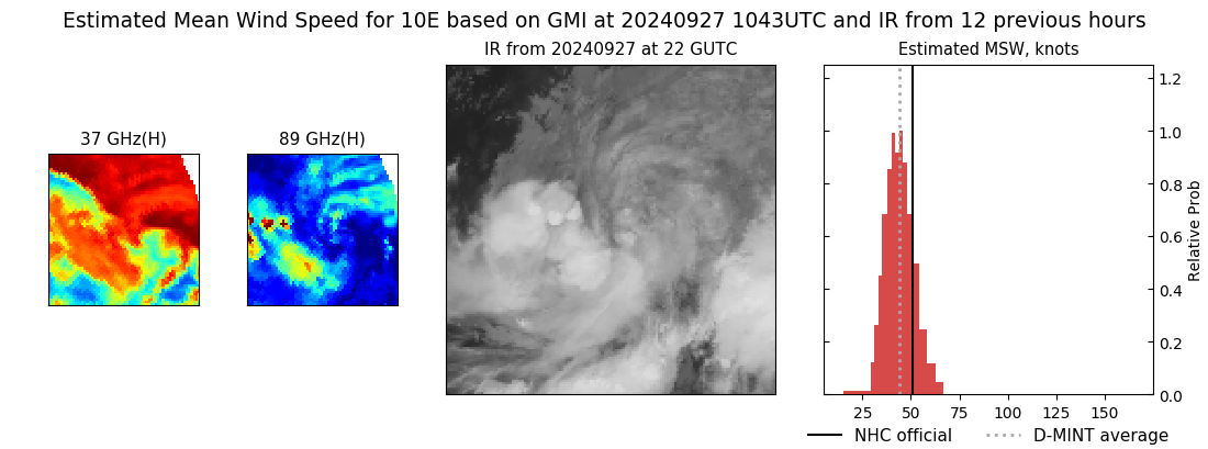 |
| 20240927 | 0843 UTC | ATMS-N20 | 986 hPa | 50 kts | 45 kts | 55 kts | 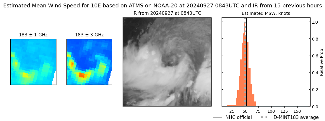 |
| 20240927 | 0813 UTC | AMSR2 | 993 hPa | 55 kts | 49 kts | 60 kts | 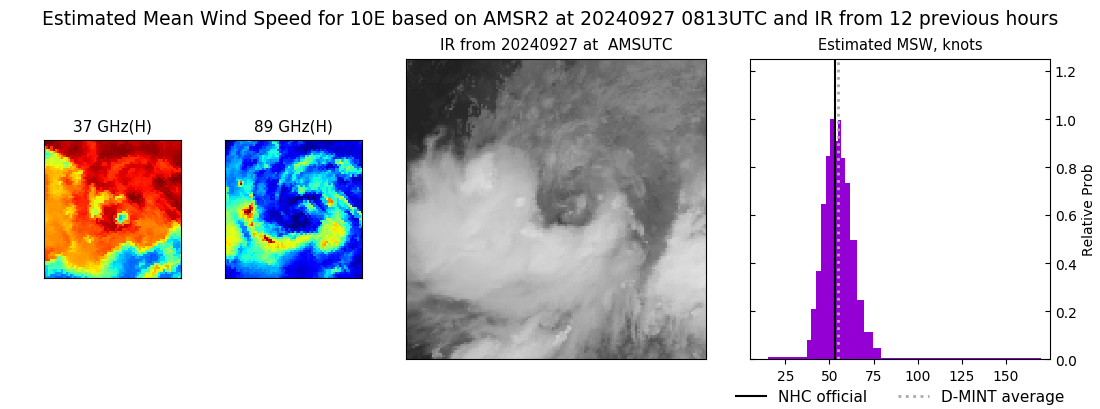 |
| 20240927 | 0106 UTC | SSMISF17 | 989 hPa | 55 kts | 50 kts | 61 kts |  |
| 20240927 | 0042 UTC | SSMISF16 | 989 hPa | 56 kts | 49 kts | 62 kts | 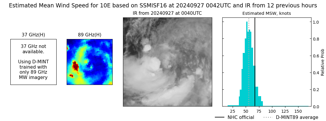 |
| 20240926 | 2225 UTC | SSMISF18 | 988 hPa | 56 kts | 50 kts | 62 kts | 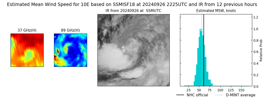 |
| 20240926 | 2012 UTC | ATMS-N20 | 982 hPa | 61 kts | 56 kts | 67 kts | 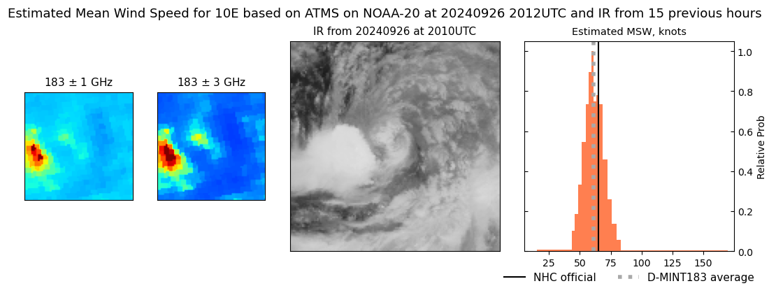 |
| 20240926 | 1948 UTC | ATMS-NPP | 985 hPa | 57 kts | 51 kts | 63 kts | 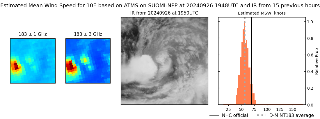 |
| 20240926 | 1435 UTC | TROPICS03 | 979 hPa | 68 kts | 62 kts | 74 kts | 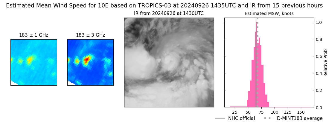 |
| 20240926 | 1330 UTC | SSMISF16 | 985 hPa | 57 kts | 50 kts | 65 kts | 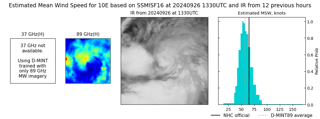 |
| 20240926 | 1113 UTC | SSMISF18 | 976 hPa | 79 kts | 72 kts | 87 kts | 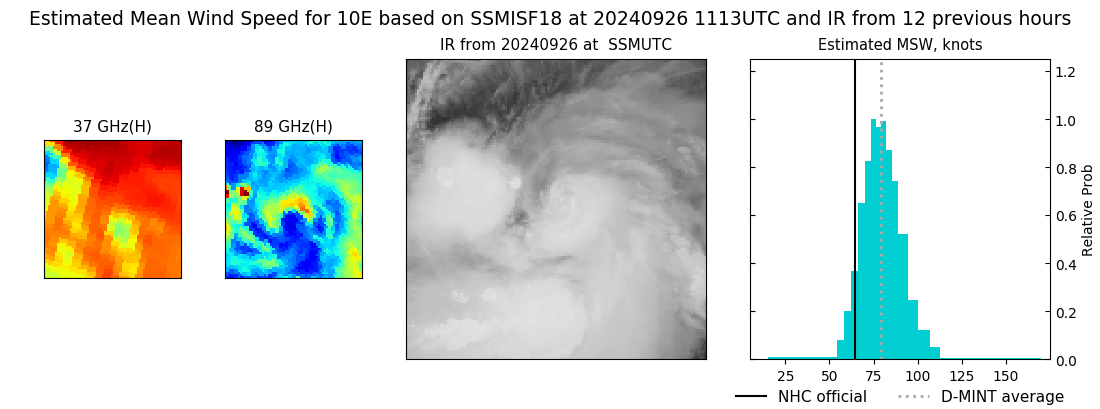 |
| 20240926 | 0814 UTC | ATMS-N21 | 976 hPa | 70 kts | 64 kts | 76 kts | 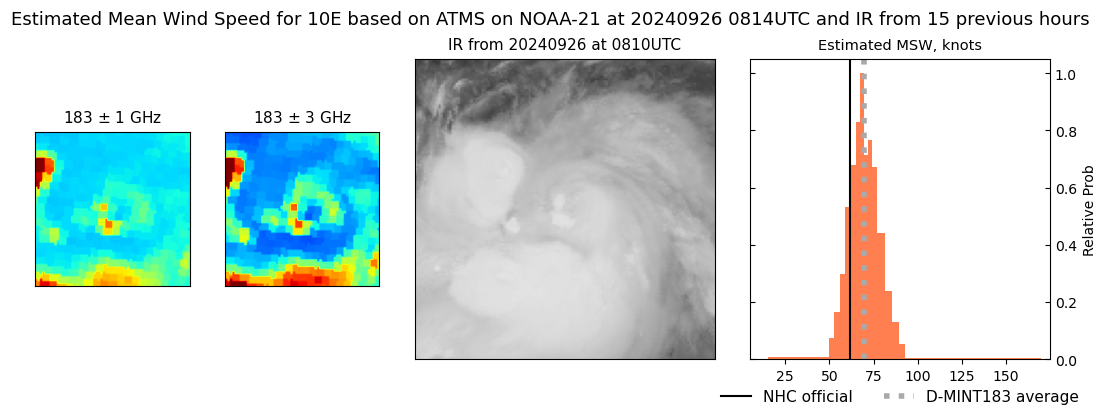 |
| 20240926 | 0338 UTC | TROPICS05 | 986 hPa | 62 kts | 56 kts | 68 kts | 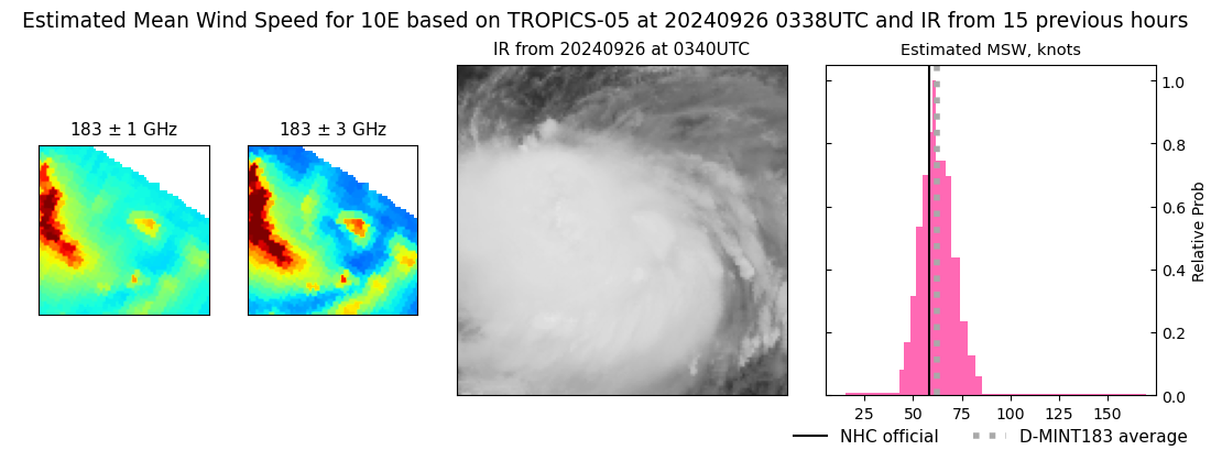 |
| 20240926 | 0246 UTC | TROPICS06 | 986 hPa | 58 kts | 52 kts | 63 kts | 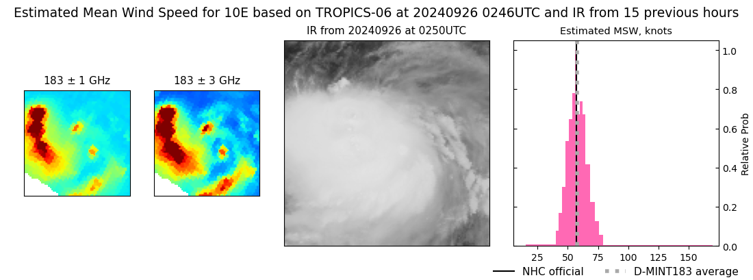 |
| 20240926 | 0055 UTC | SSMISF16 | 992 hPa | 50 kts | 44 kts | 56 kts | 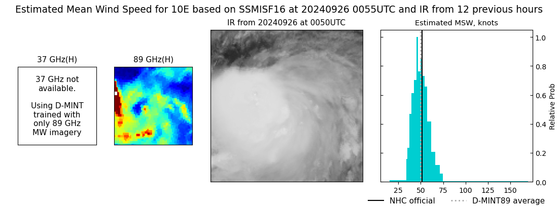 |
| 20240925 | 2353 UTC | GMI | 993 hPa | 52 kts | 47 kts | 58 kts | 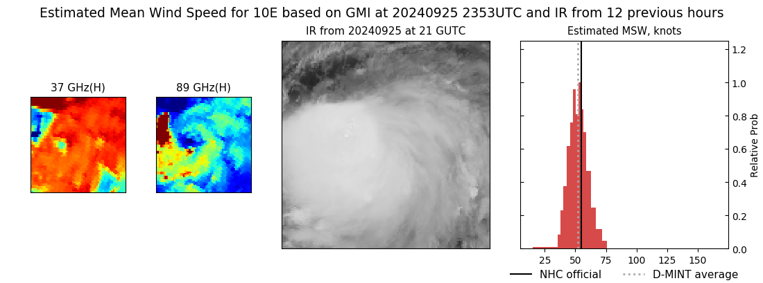 |
| 20240925 | 2238 UTC | SSMISF18 | 992 hPa | 52 kts | 47 kts | 57 kts | 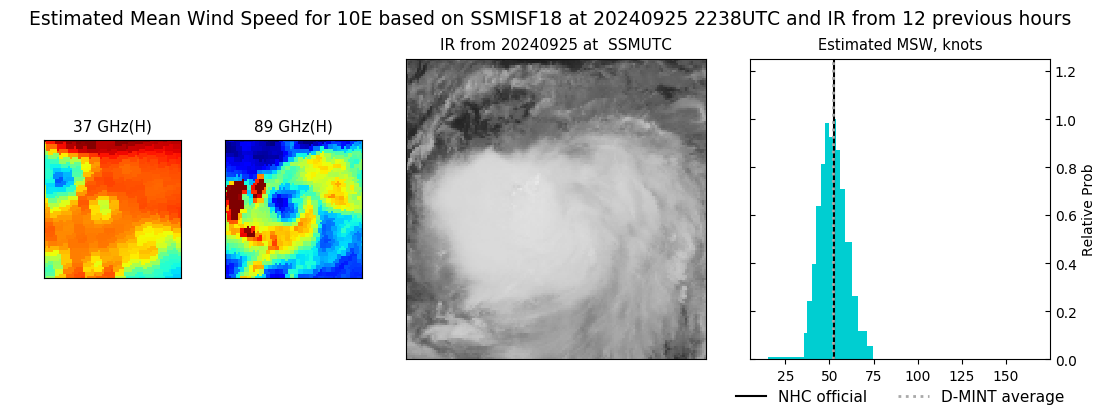 |
| 20240925 | 1915 UTC | TROPICS05 | 995 hPa | 48 kts | 43 kts | 53 kts | 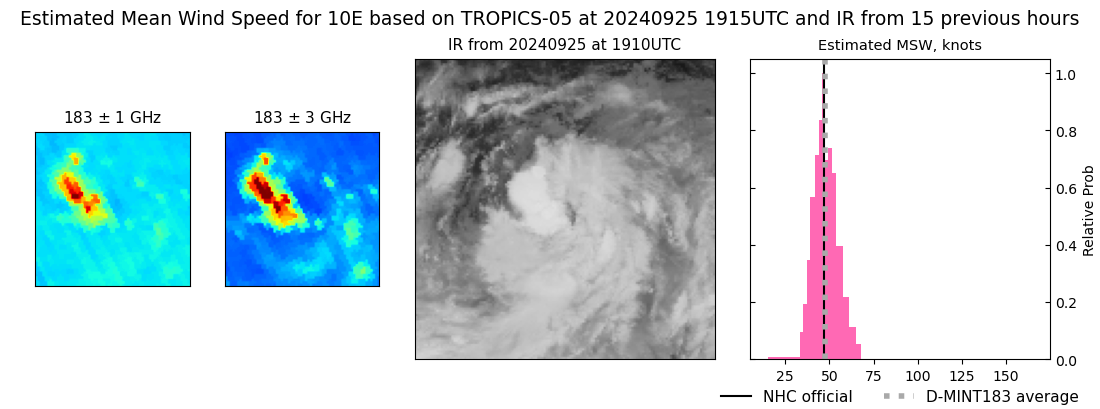 |
| 20240925 | 1500 UTC | TROPICS03 | 995 hPa | 50 kts | 45 kts | 55 kts | 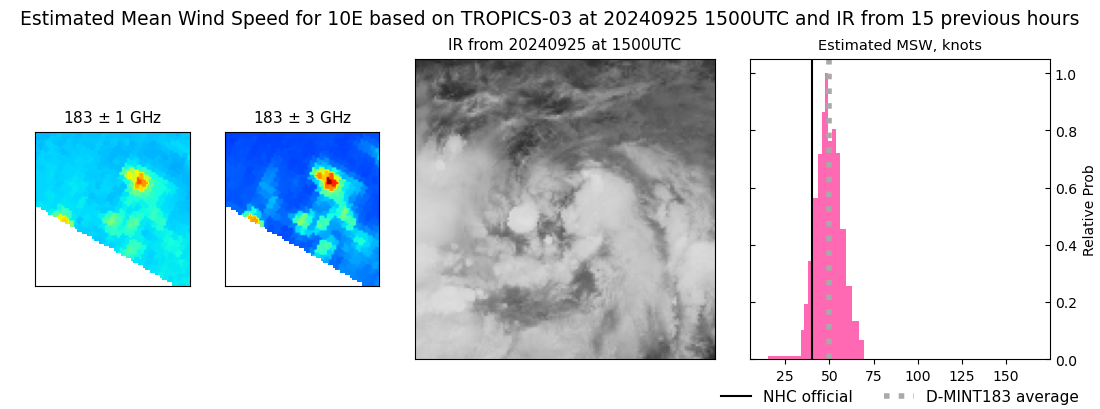 |
| 20240925 | 0825 UTC | AMSR2 | 997 hPa | 35 kts | 30 kts | 40 kts | 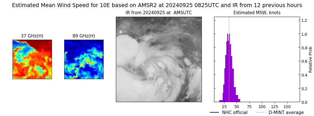 |
| 20240925 | 0825 UTC | AMSR2 | 997 hPa | 35 kts | 30 kts | 40 kts |  |
| 20240925 | 0314 UTC | TROPICS06 | 997 hPa | 34 kts | 30 kts | 39 kts | 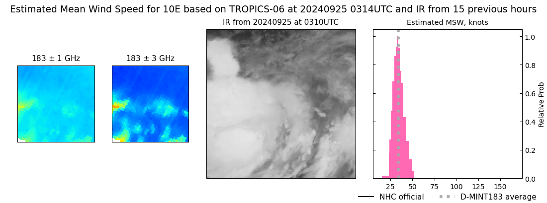 |
| 20240924 | 2013 UTC | AMSR2 | 998 hPa | 46 kts | 40 kts | 52 kts | 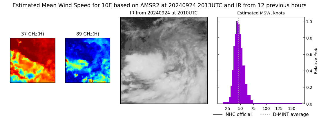 |
| 20240924 | 1525 UTC | TROPICS03 | 988 hPa | 56 kts | 51 kts | 62 kts | 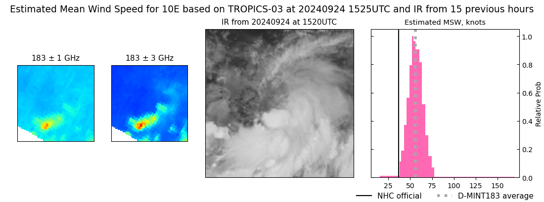 |
| 20240924 | 1241 UTC | SSMISF17 | 985 hPa | 71 kts | 64 kts | 79 kts | 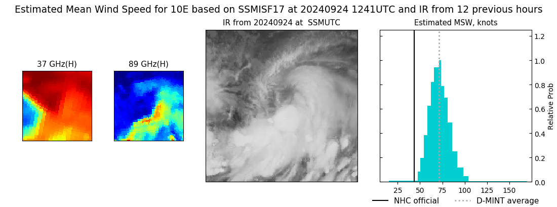 |
| 20240924 | 1113 UTC | GMI | 987 hPa | 70 kts | 63 kts | 77 kts | 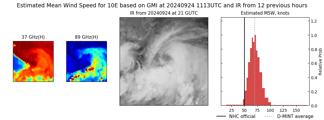 |
| 20240924 | 0759 UTC | ATMS-N20 | 962 hPa | 84 kts | 78 kts | 90 kts | 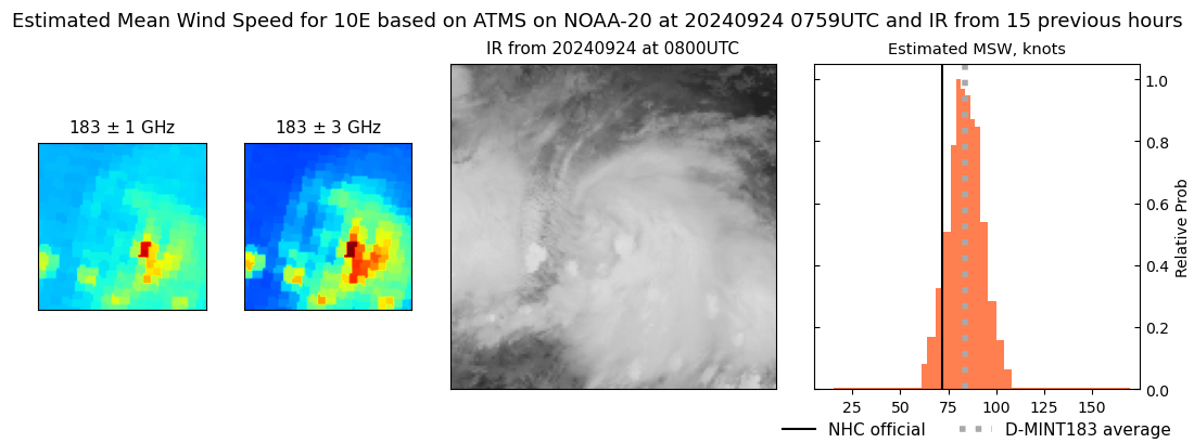 |
| 20240924 | 0342 UTC | TROPICS06 | 960 hPa | 90 kts | 83 kts | 97 kts | 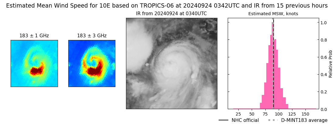 |
| 20240924 | 0007 UTC | SSMISF17 | 966 hPa | 79 kts | 71 kts | 86 kts | 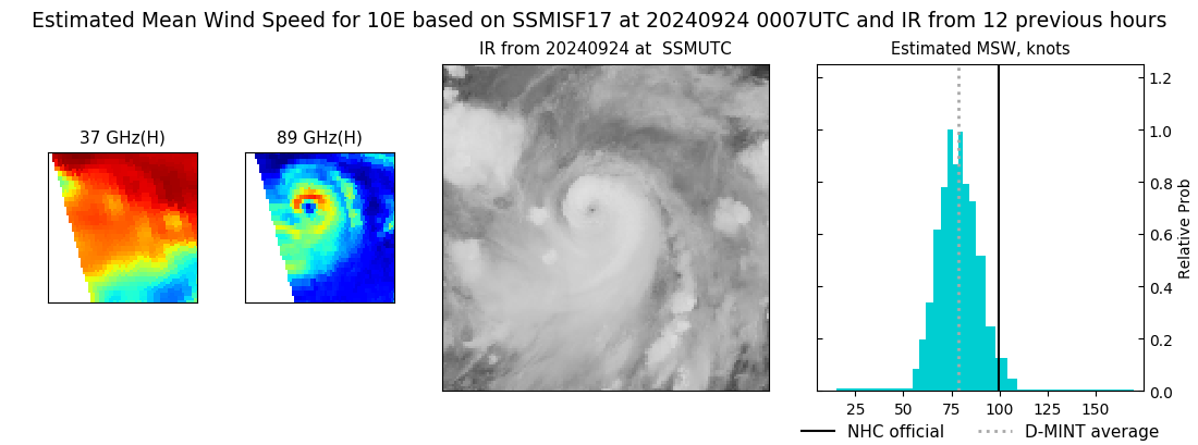 |
| 20240923 | 1930 UTC | AMSR2 | 964 hPa | 85 kts | 78 kts | 92 kts | 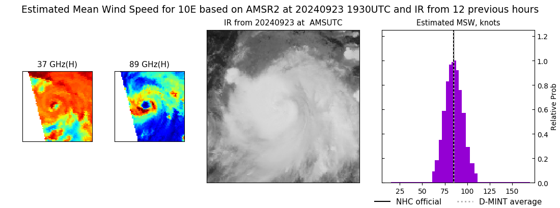 |
| 20240923 | 1920 UTC | TROPICS06 | 969 hPa | 84 kts | 77 kts | 91 kts | 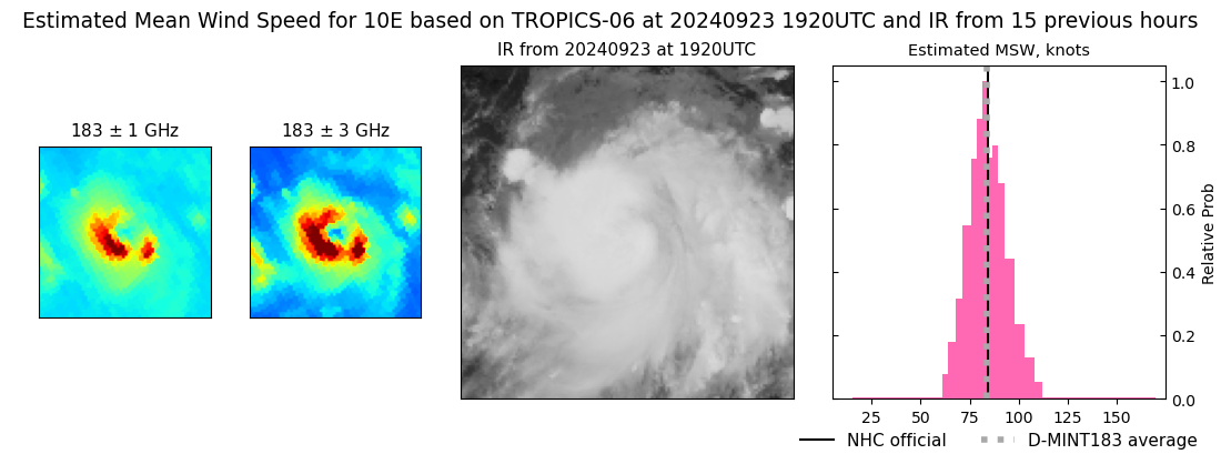 |
| 20240923 | 1254 UTC | SSMISF17 | 994 hPa | 58 kts | 51 kts | 65 kts | 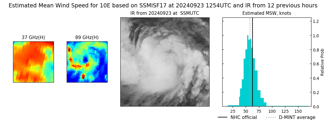 |
| 20240923 | 1230 UTC | SSMISF16 | 989 hPa | 62 kts | 55 kts | 70 kts | 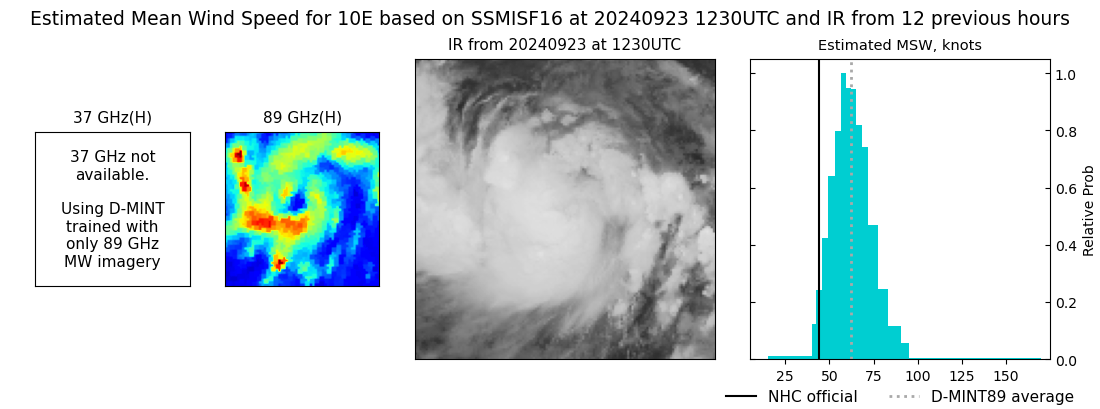 |
| 20240923 | 1014 UTC | SSMISF18 | 993 hPa | 59 kts | 52 kts | 67 kts | 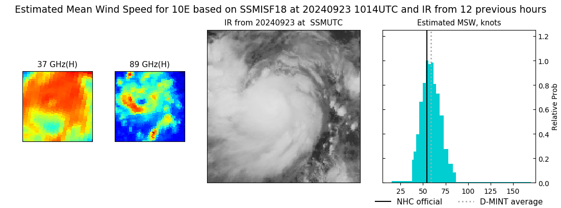 |
| 20240923 | 0838 UTC | AMSR2 | 983 hPa | 65 kts | 58 kts | 73 kts | 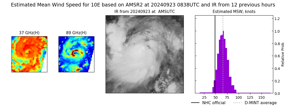 |
| 20240923 | 0838 UTC | AMSR2 | 983 hPa | 65 kts | 58 kts | 73 kts |  |
| 20240923 | 0727 UTC | TROPICS03 | 986 hPa | 63 kts | 57 kts | 69 kts | 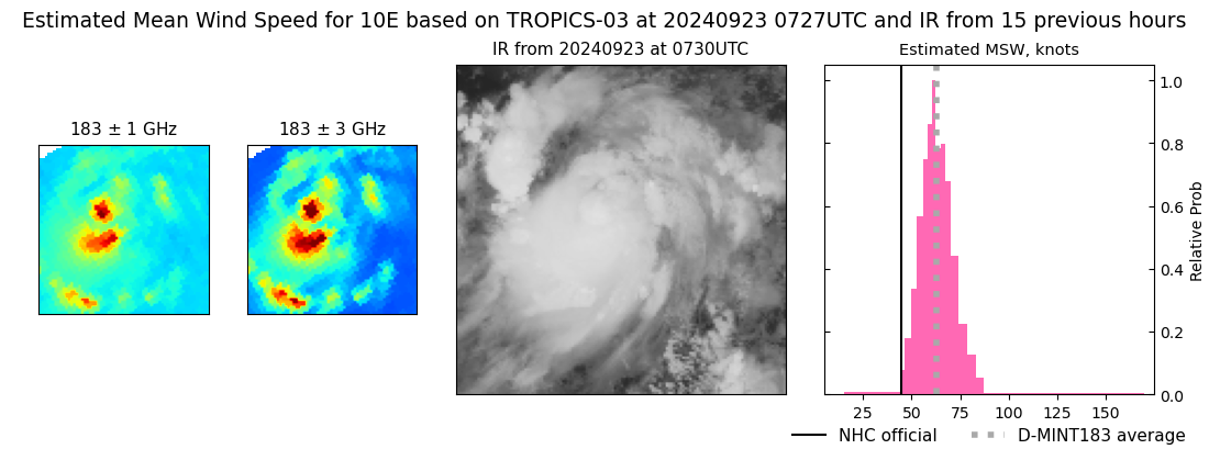 |
| 20240923 | 0455 UTC | TROPICS05 | 998 hPa | 53 kts | 47 kts | 58 kts | 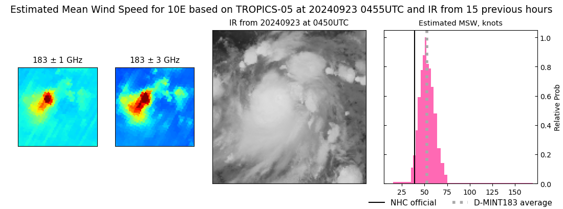 |
| 20240923 | 0023 UTC | GMI | 996 hPa | 45 kts | 40 kts | 50 kts | 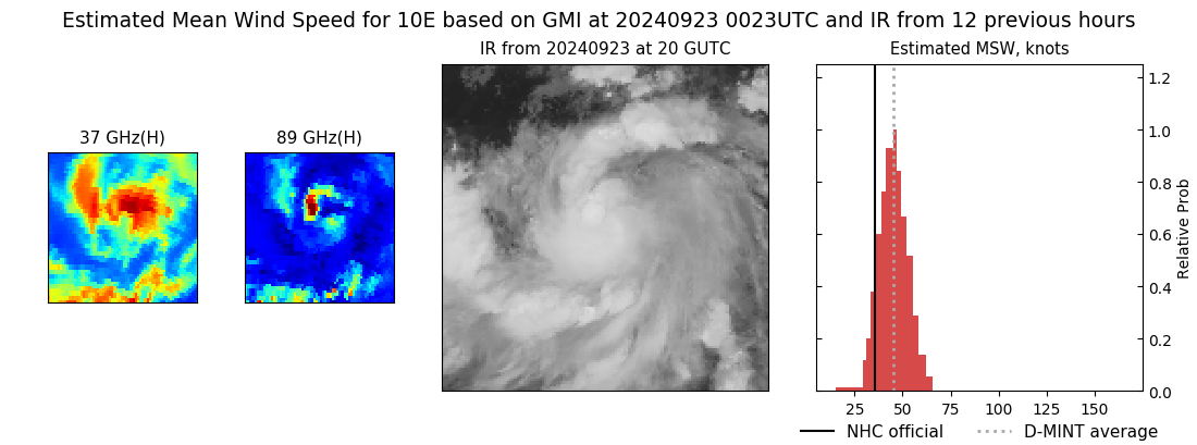 |
| 20240923 | 0020 UTC | SSMISF17 | 996 hPa | 50 kts | 45 kts | 56 kts | 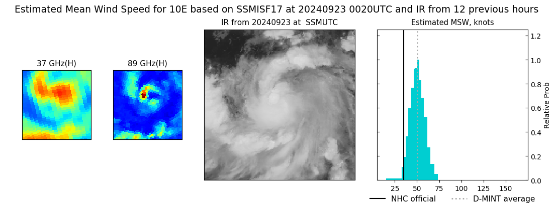 |
| 20240922 | 2025 UTC | AMSR2 | 1002 hPa | 46 kts | 41 kts | 52 kts | 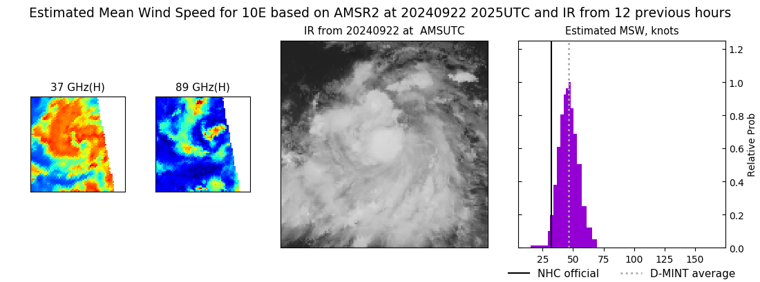 |
| 20240922 | 1947 UTC | TROPICS06 | 996 hPa | 47 kts | 42 kts | 52 kts | 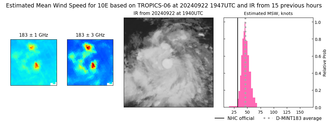 |
| 20240922 | 0751 UTC | TROPICS03 | 1001 hPa | 35 kts | 31 kts | 40 kts | 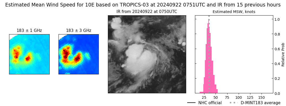 |
| 20240922 | 0520 UTC | TROPICS05 | 1002 hPa | 35 kts | 31 kts | 39 kts | 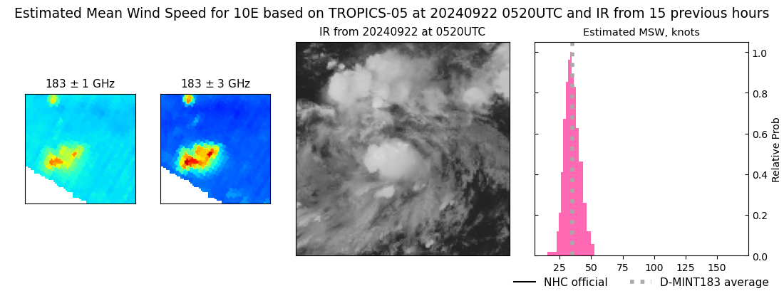 |
|
