|
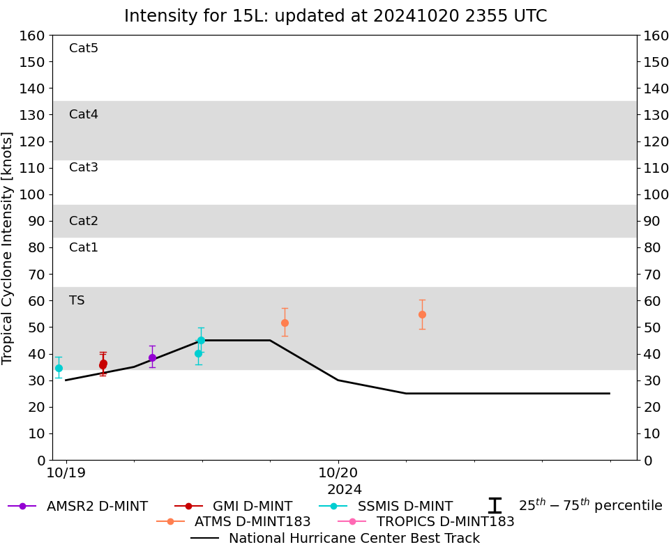
Storm: 15L
D-MINT HISTORY FILE for 2024_15L
| Date | Time | MW Sensor | MSLP | Vmax
(30th-70th percentile average) | Vmax
25th percentile | Vmax
75th percentile | Image |
| 20241020 | 0724 UTC | ATMS-N21 | 998 hPa | 55 kts | 49 kts | 60 kts | 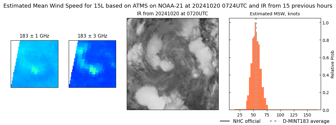 |
| 20241019 | 1916 UTC | ATMS-NPP | 1003 hPa | 52 kts | 47 kts | 57 kts | 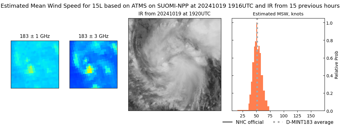 |
| 20241019 | 1154 UTC | SSMISF17 | 1005 hPa | 45 kts | 41 kts | 50 kts | 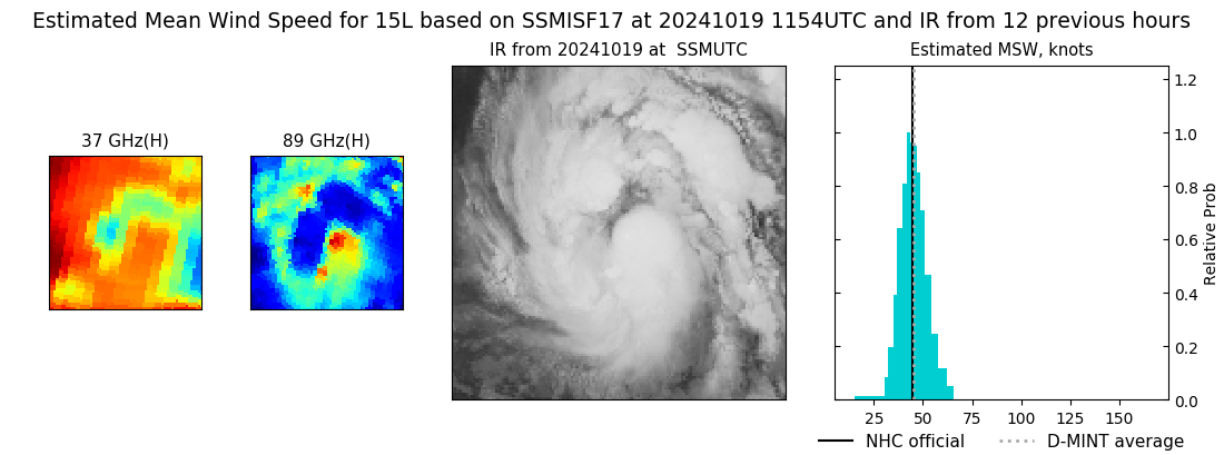 |
| 20241019 | 1141 UTC | SSMISF16 | 1005 hPa | 40 kts | 36 kts | 45 kts | 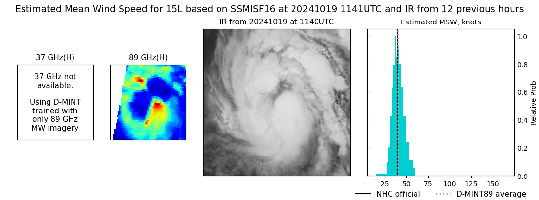 |
| 20241019 | 0735 UTC | AMSR2 | 1008 hPa | 39 kts | 35 kts | 43 kts | 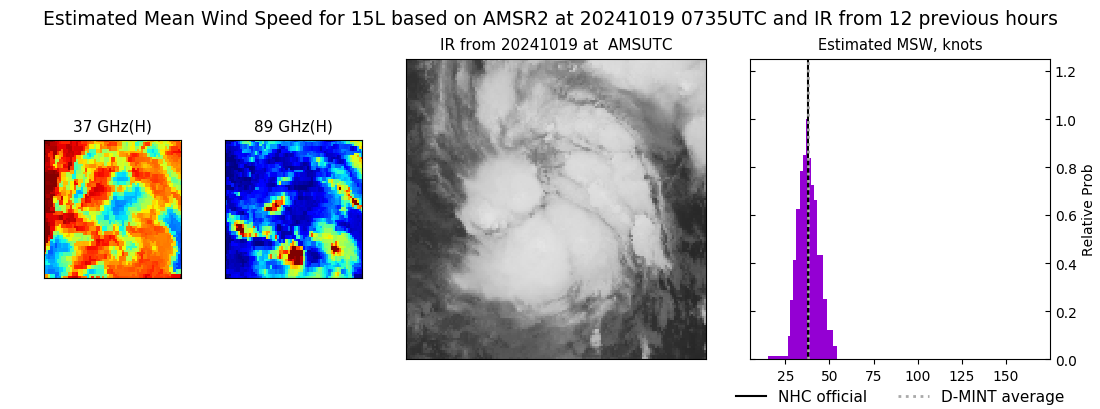 |
| 20241019 | 0316 UTC | GMI | NaN hPa | 36 kts | 33 kts | 41 kts | 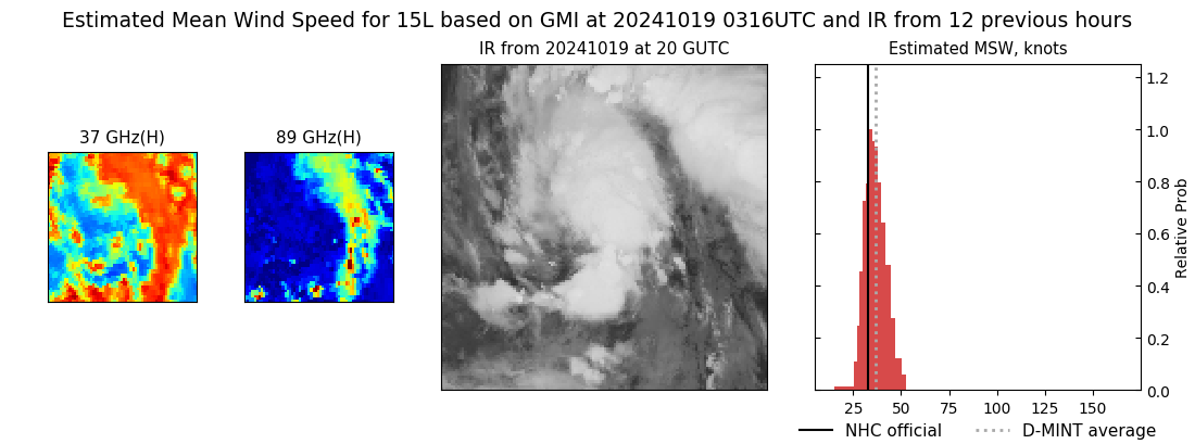 |
| 20241019 | 0313 UTC | GMI | 1007 hPa | 36 kts | 32 kts | 40 kts | 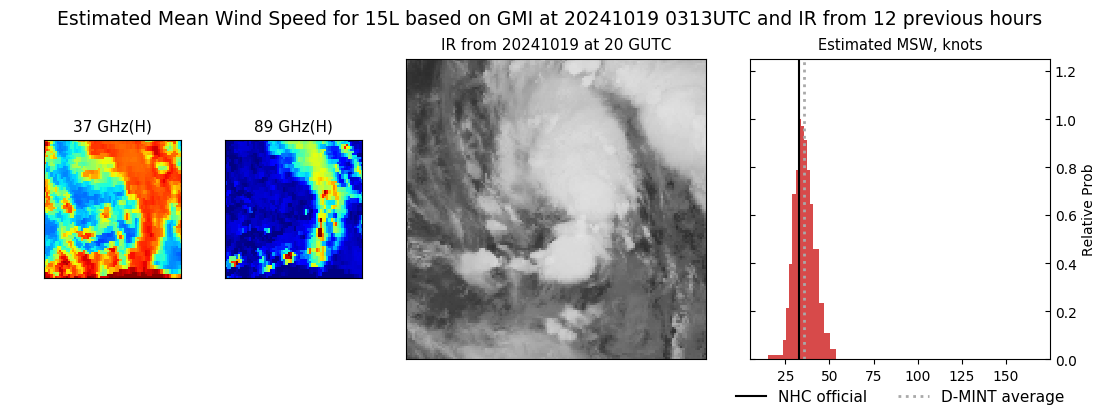 |
| 20241018 | 2320 UTC | SSMISF17 | NaN hPa | 35 kts | 31 kts | 39 kts | 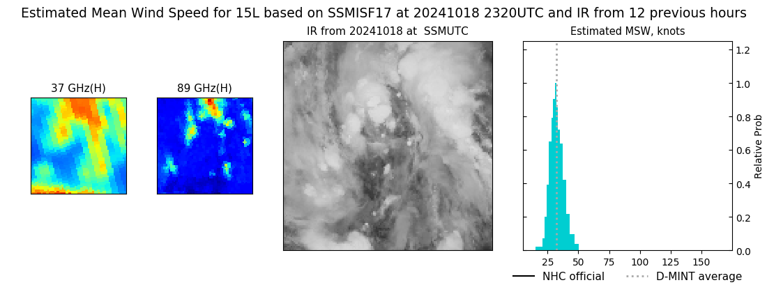 |
| 20241018 | 1208 UTC | SSMISF17 | NaN hPa | 28 kts | 25 kts | 32 kts |  |
| 20241018 | 1154 UTC | SSMISF16 | NaN hPa | 27 kts | 24 kts | 31 kts |  |
| 20241018 | 0933 UTC | SSMISF18 | NaN hPa | 28 kts | 25 kts | 32 kts |  |
| 20241018 | 0653 UTC | AMSR2 | NaN hPa | 28 kts | 25 kts | 32 kts | 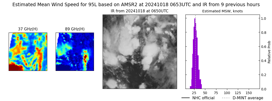 |
| 20241017 | 2319 UTC | SSMISF16 | NaN hPa | 26 kts | 23 kts | 29 kts |  |
| 20241017 | 2059 UTC | SSMISF18 | NaN hPa | 27 kts | 24 kts | 31 kts |  |
| 20241017 | 1840 UTC | AMSR2 | NaN hPa | 27 kts | 24 kts | 30 kts |  |
|
