|
Storm: 25W
D-MINT HISTORY FILE for 2024_25W
| Date | Time | MW Sensor | MSLP | Vmax
(30th-70th percentile average) | Vmax
25th percentile | Vmax
75th percentile | Image |
| 20241119 | 2317 UTC | SSMISF16 | NaN hPa | 24 kts | 22 kts | 27 kts | 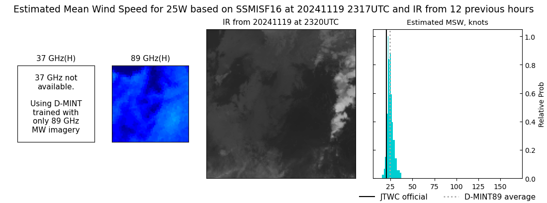 |
| 20241119 | 2317 UTC | SSMISF17 | NaN hPa | 24 kts | 22 kts | 27 kts |  |
| 20241119 | 2051 UTC | SSMISF18 | NaN hPa | 22 kts | 20 kts | 25 kts | 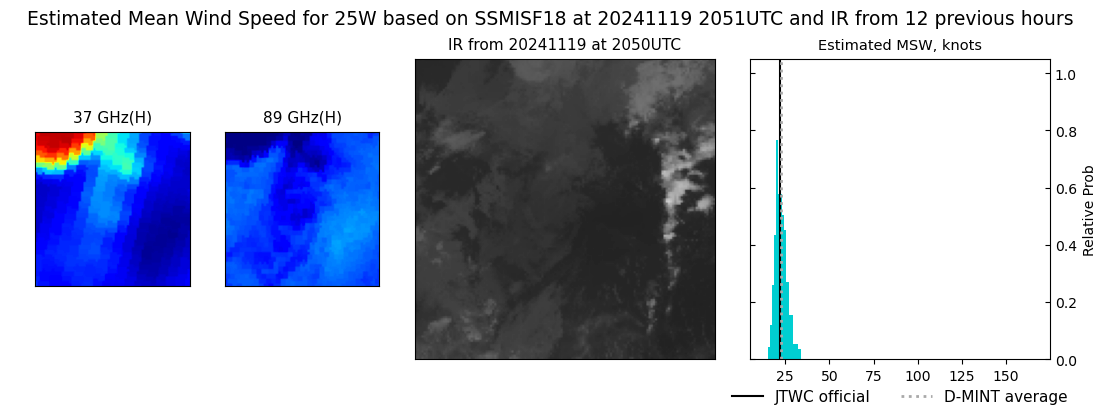 |
| 20241119 | 1824 UTC | AMSR2 | NaN hPa | 24 kts | 22 kts | 27 kts | 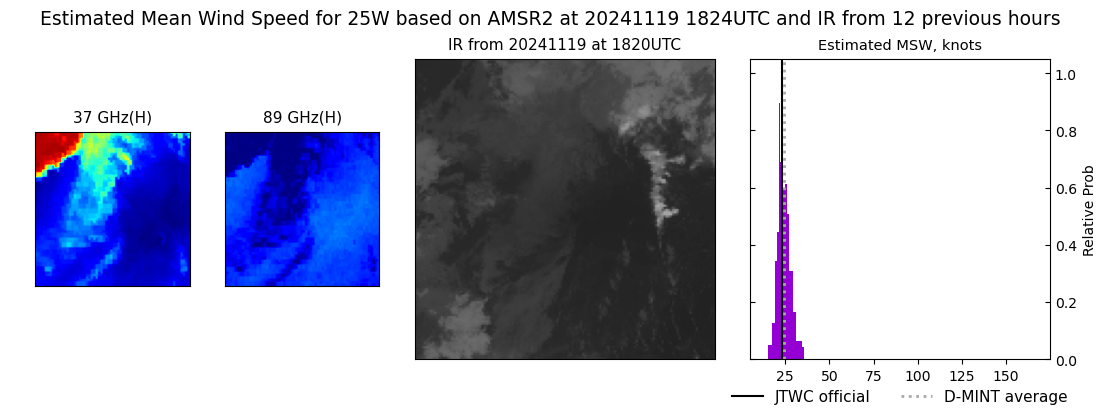 |
| 20241119 | 1044 UTC | SSMISF16 | NaN hPa | 26 kts | 23 kts | 30 kts | 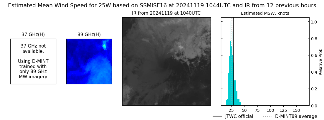 |
| 20241119 | 1043 UTC | SSMISF17 | NaN hPa | 27 kts | 24 kts | 31 kts | 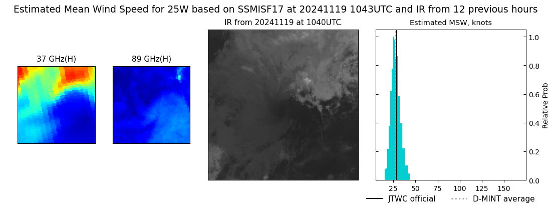 |
| 20241119 | 0818 UTC | SSMISF18 | NaN hPa | 31 kts | 27 kts | 34 kts | 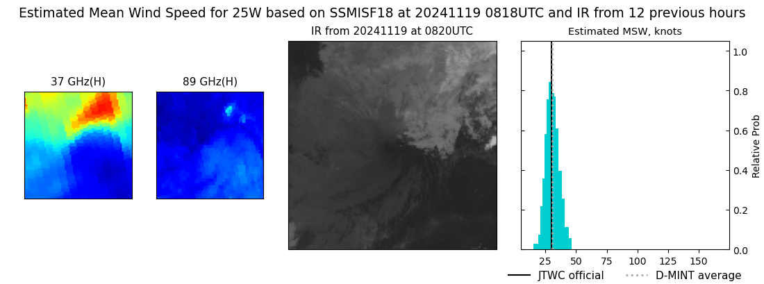 |
| 20241119 | 0614 UTC | AMSR2 | NaN hPa | 31 kts | 28 kts | 35 kts | 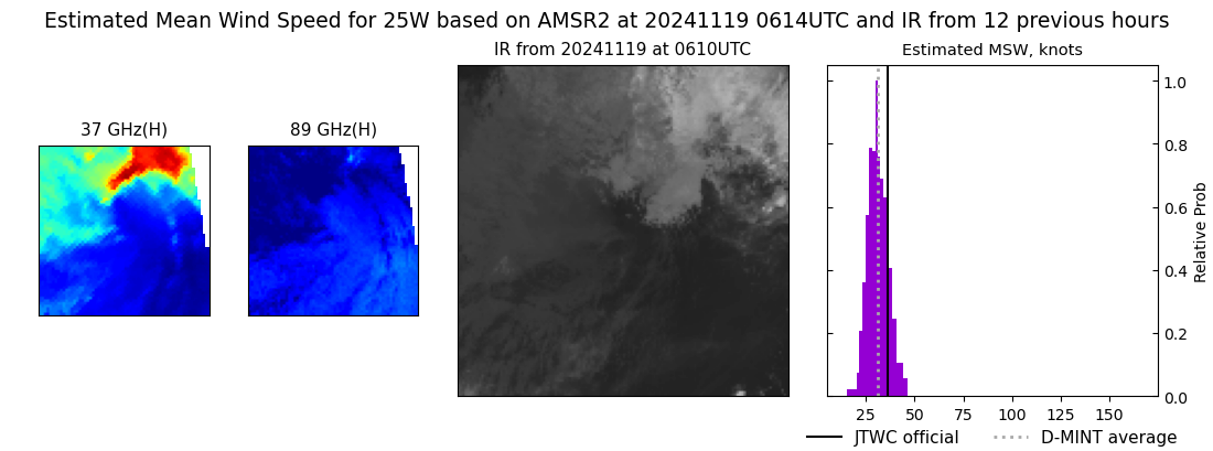 |
| 20241119 | 0500 UTC | GMI | NaN hPa | 29 kts | 26 kts | 33 kts | 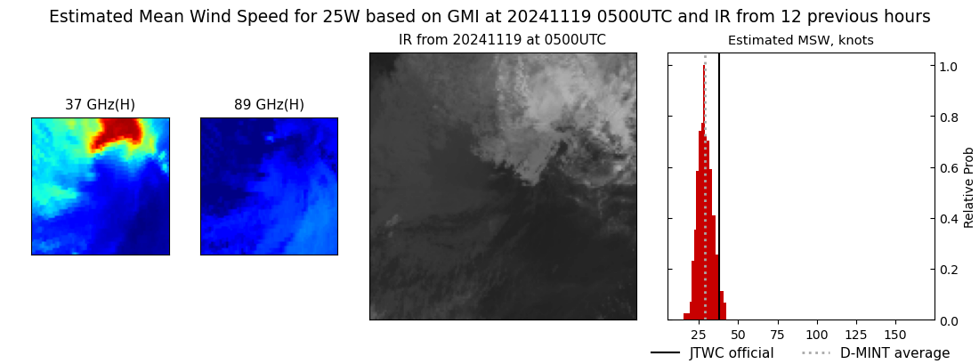 |
| 20241119 | 0458 UTC | GMI | NaN hPa | 29 kts | 26 kts | 32 kts |  |
| 20241118 | 0529 UTC | AMSR2 | NaN hPa | 34 kts | 30 kts | 39 kts | 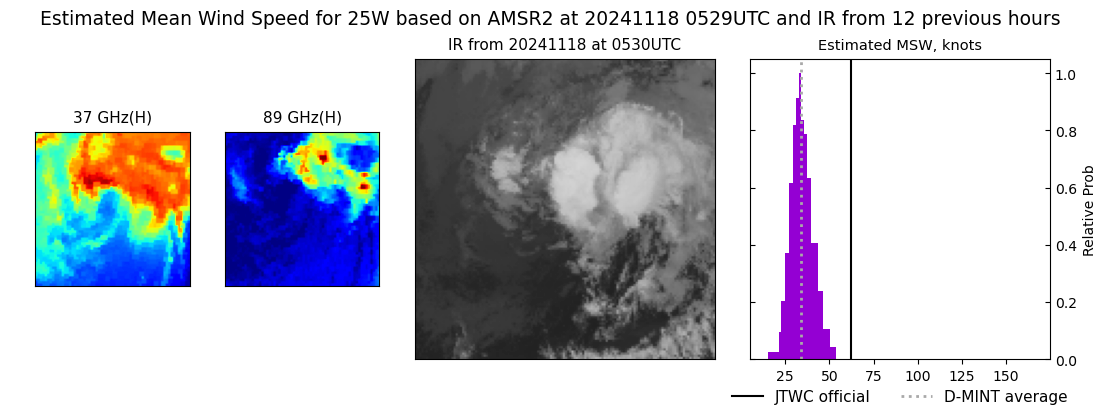 |
| 20241117 | 2204 UTC | SSMISF17 | NaN hPa | 52 kts | 47 kts | 58 kts | 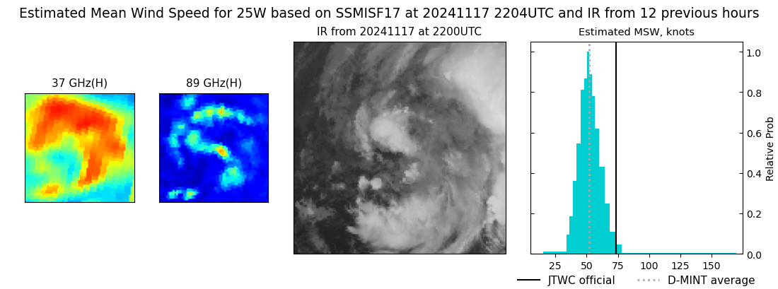 |
| 20241117 | 2203 UTC | SSMISF16 | NaN hPa | 59 kts | 53 kts | 66 kts | 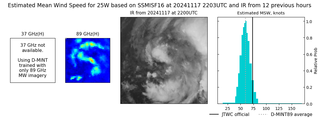 |
| 20241117 | 1939 UTC | SSMISF18 | NaN hPa | 69 kts | 63 kts | 76 kts | 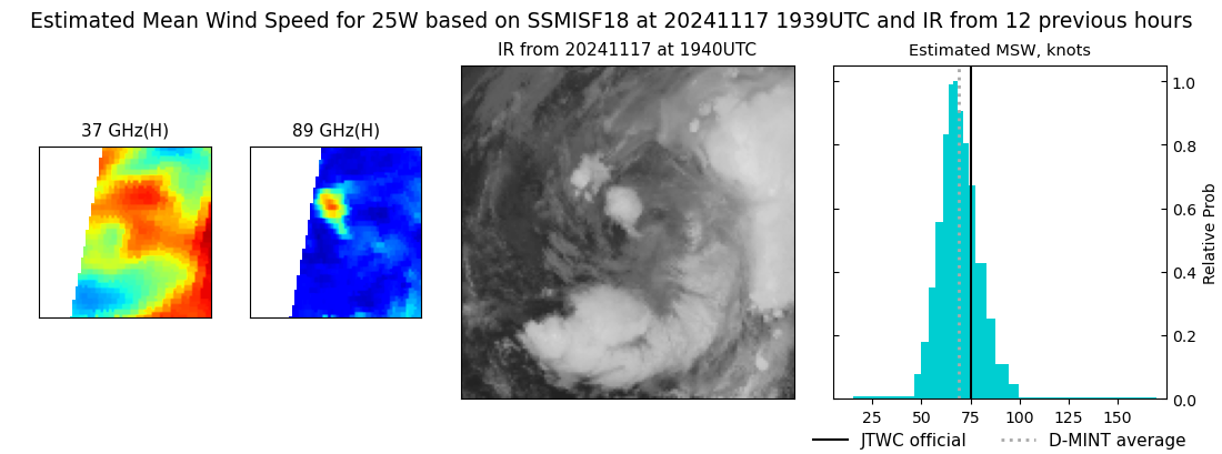 |
| 20241117 | 1808 UTC | GMI | NaN hPa | 83 kts | 76 kts | 90 kts | 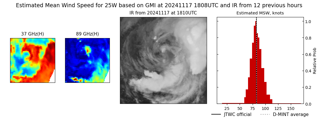 |
| 20241117 | 1730 UTC | ATMS | NaN hPa | 83 kts | 78 kts | 89 kts | 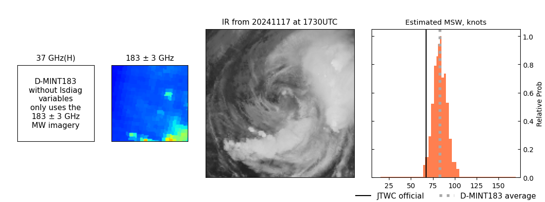 |
| 20241117 | 1036 UTC | TROPICS05 | NaN hPa | 105 kts | 99 kts | 112 kts | 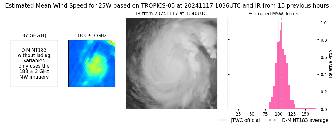 |
| 20241117 | 0930 UTC | SSMISF17 | NaN hPa | 113 kts | 105 kts | 121 kts | 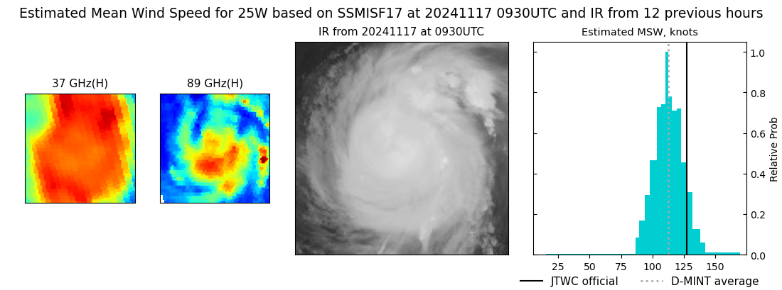 |
| 20241117 | 0929 UTC | SSMISF16 | NaN hPa | 114 kts | 107 kts | 122 kts | 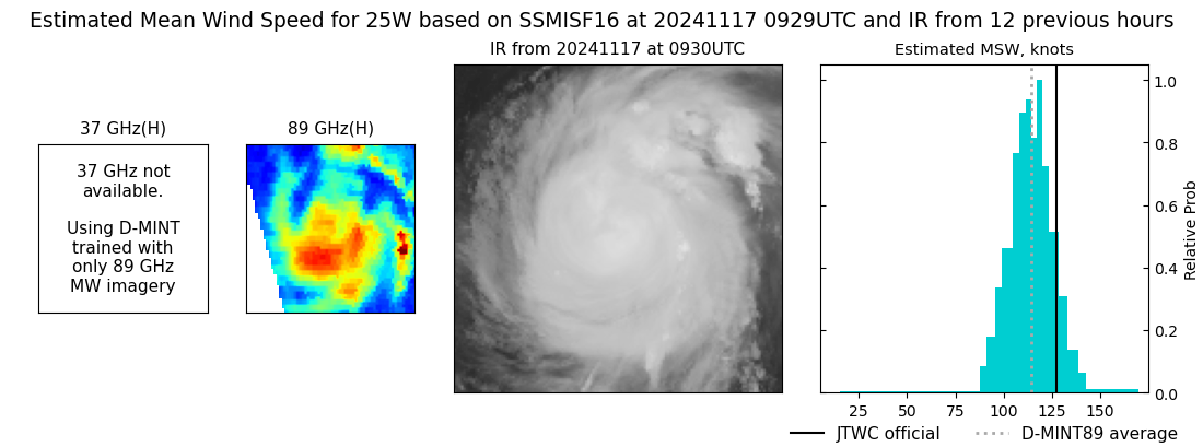 |
| 20241117 | 0524 UTC | ATMS | NaN hPa | 93 kts | 87 kts | 100 kts | 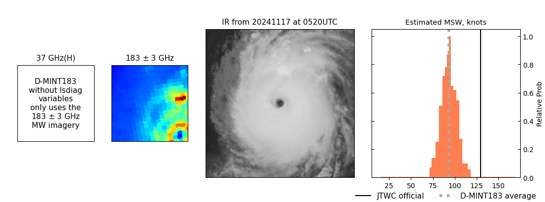 |
| 20241117 | 0448 UTC | GMI | NaN hPa | 131 kts | 124 kts | 138 kts | 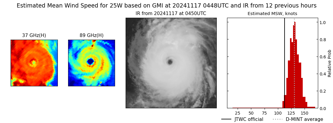 |
| 20241117 | 0447 UTC | AMSR2 | NaN hPa | 130 kts | 123 kts | 136 kts | 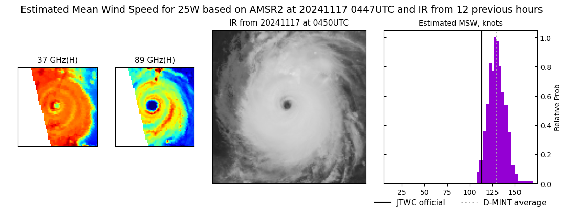 |
| 20241117 | 0215 UTC | TROPICS05 | NaN hPa | 115 kts | 108 kts | 121 kts | 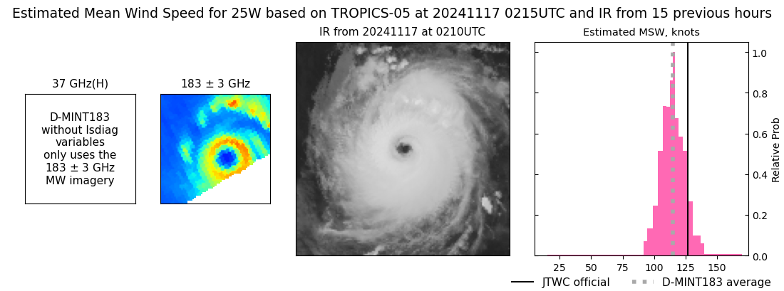 |
| 20241116 | 2238 UTC | TROPICS03 | NaN hPa | 121 kts | 115 kts | 128 kts | 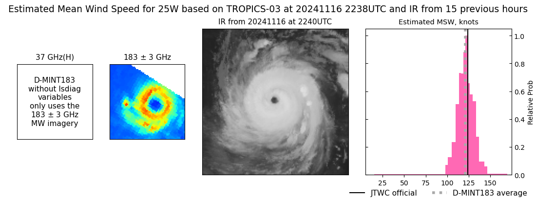 |
| 20241116 | 2218 UTC | SSMISF17 | NaN hPa | 119 kts | 113 kts | 125 kts | 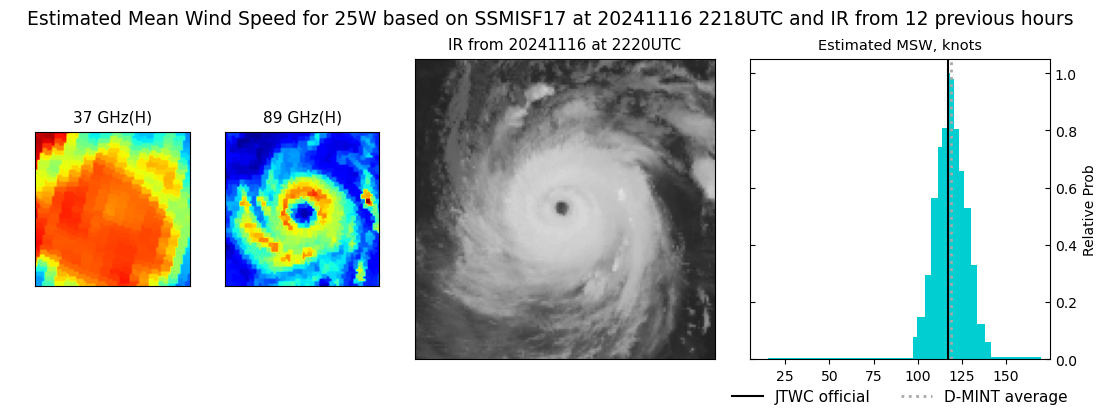 |
| 20241116 | 2217 UTC | SSMISF16 | NaN hPa | 120 kts | 114 kts | 126 kts | 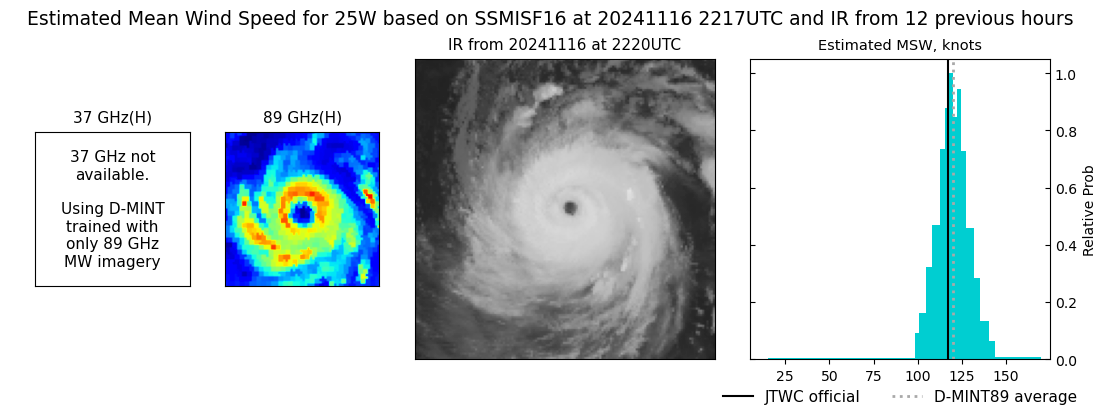 |
| 20241116 | 1952 UTC | SSMISF18 | NaN hPa | 114 kts | 108 kts | 121 kts | 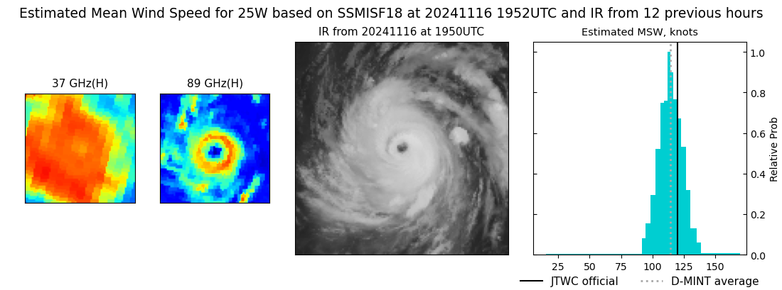 |
| 20241116 | 1108 UTC | TROPICS05 | NaN hPa | 135 kts | 128 kts | 142 kts | 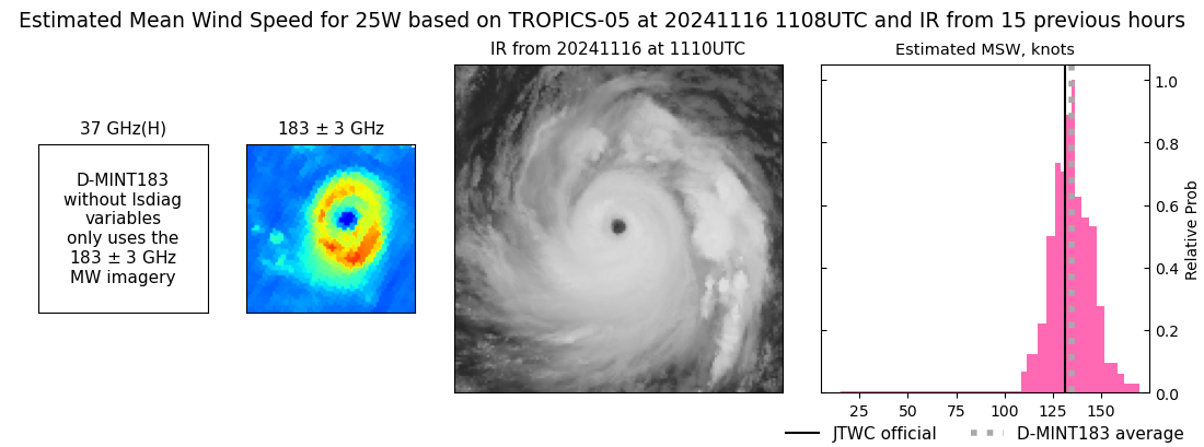 |
| 20241116 | 0942 UTC | SSMISF17 | NaN hPa | 140 kts | 133 kts | 147 kts | 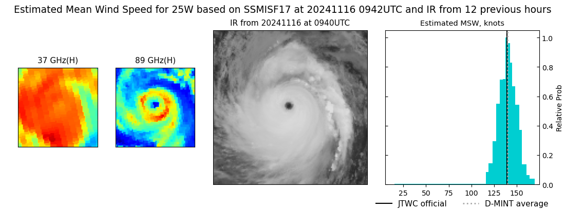 |
| 20241116 | 0941 UTC | SSMISF16 | NaN hPa | 143 kts | 136 kts | 150 kts | 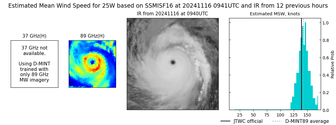 |
| 20241116 | 0716 UTC | SSMISF18 | NaN hPa | 137 kts | 130 kts | 144 kts | 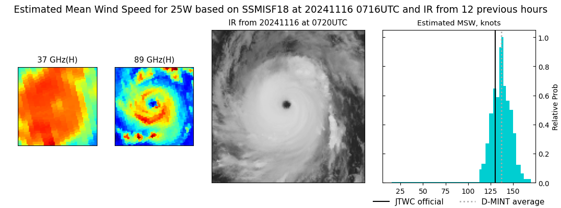 |
| 20241116 | 0120 UTC | TROPICS06 | NaN hPa | 129 kts | 122 kts | 136 kts | 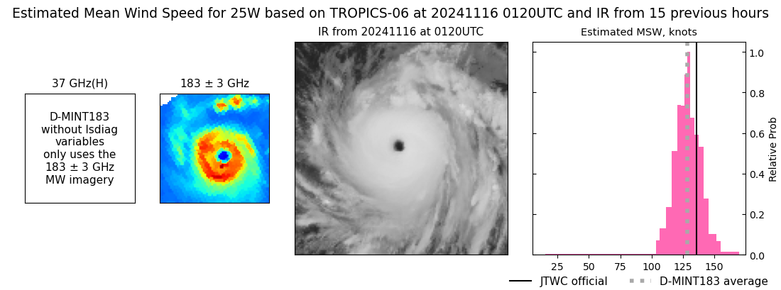 |
| 20241115 | 2310 UTC | TROPICS03 | NaN hPa | 128 kts | 122 kts | 135 kts | 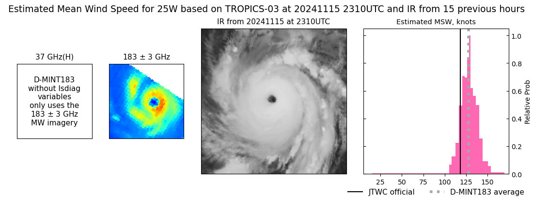 |
| 20241115 | 1800 UTC | GMI | NaN hPa | 104 kts | 97 kts | 110 kts | 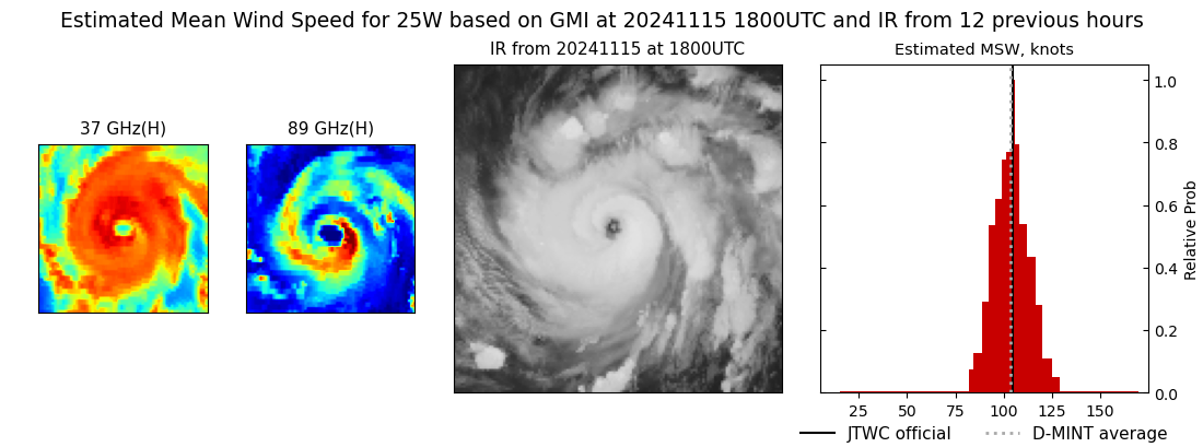 |
| 20241115 | 1758 UTC | GMI | NaN hPa | 104 kts | 97 kts | 111 kts | 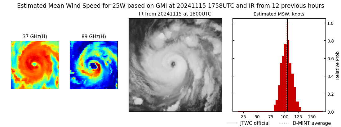 |
| 20241115 | 1712 UTC | AMSR2 | NaN hPa | 104 kts | 98 kts | 111 kts | 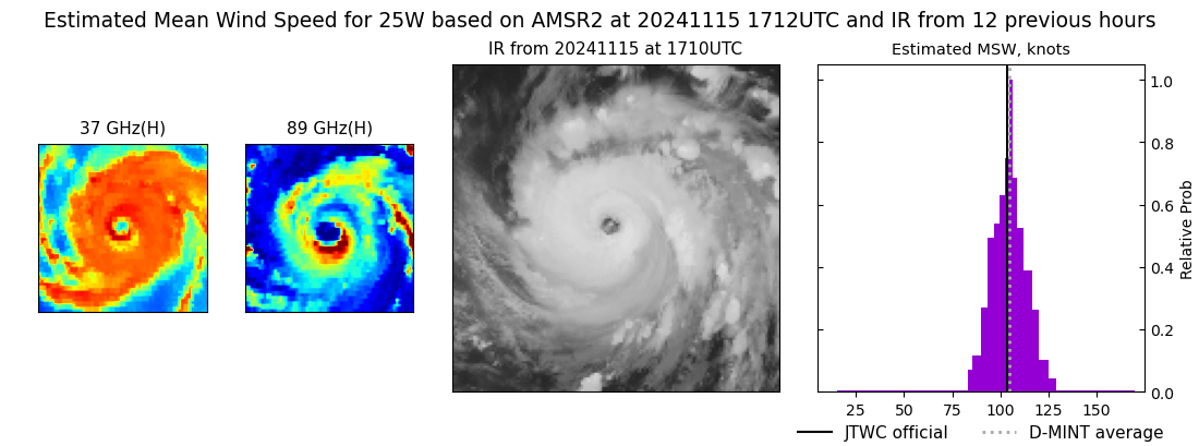 |
| 20241115 | 0956 UTC | SSMISF16 | NaN hPa | 99 kts | 92 kts | 107 kts | 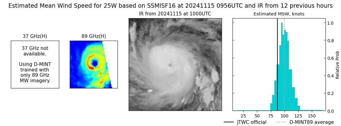 |
| 20241115 | 0729 UTC | SSMISF18 | NaN hPa | 99 kts | 92 kts | 107 kts | 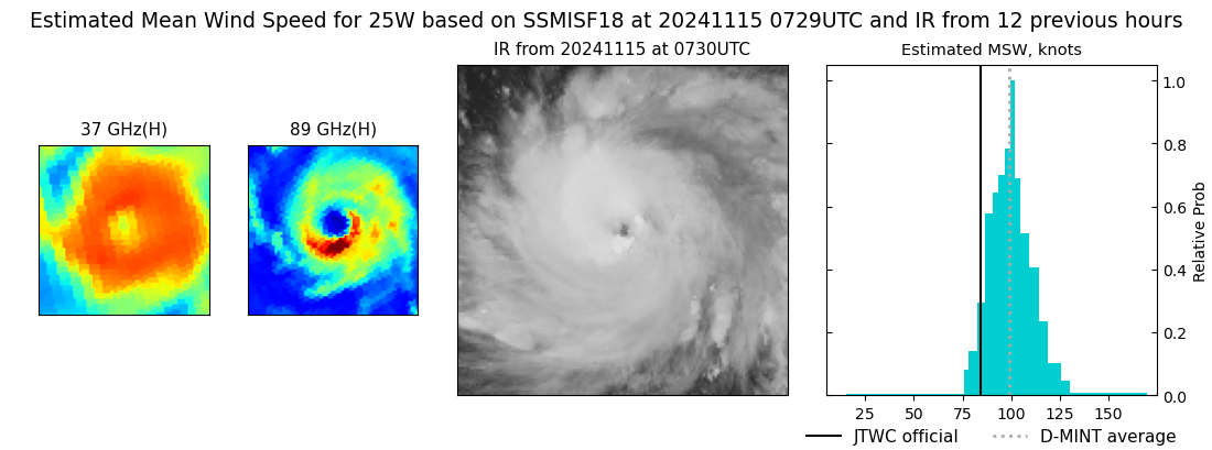 |
| 20241115 | 0457 UTC | AMSR2 | NaN hPa | 86 kts | 79 kts | 92 kts | 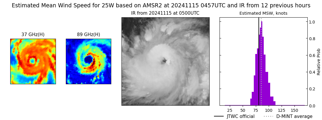 |
| 20241115 | 0139 UTC | TROPICS05 | NaN hPa | 80 kts | 74 kts | 87 kts | 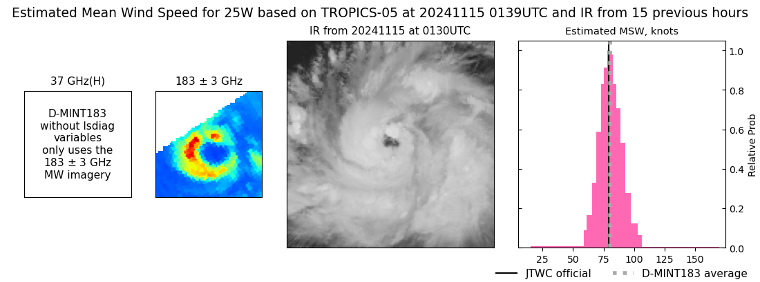 |
| 20241114 | 2106 UTC | SSMISF17 | NaN hPa | 64 kts | 58 kts | 71 kts | 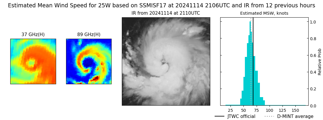 |
| 20241114 | 2105 UTC | SSMISF16 | NaN hPa | 68 kts | 62 kts | 75 kts | 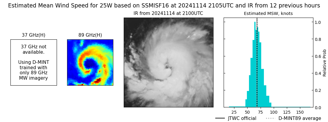 |
| 20241114 | 1840 UTC | SSMISF18 | NaN hPa | 69 kts | 62 kts | 75 kts | 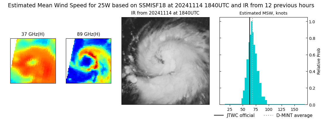 |
| 20241114 | 1629 UTC | AMSR2 | NaN hPa | 57 kts | 51 kts | 63 kts |  |
| 20241114 | 1626 UTC | ATMS | NaN hPa | 62 kts | 56 kts | 69 kts | 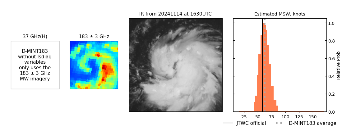 |
| 20241114 | 0413 UTC | AMSR2 | NaN hPa | 29 kts | 26 kts | 33 kts |  |
| 20241114 | 0350 UTC | ATMS | NaN hPa | 39 kts | 35 kts | 45 kts |  |
| 20241114 | 0211 UTC | TROPICS05 | NaN hPa | 37 kts | 32 kts | 41 kts |  |
| 20241113 | 2119 UTC | SSMISF17 | NaN hPa | 33 kts | 28 kts | 38 kts | 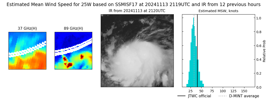 |
| 20241113 | 2117 UTC | SSMISF16 | NaN hPa | 37 kts | 32 kts | 42 kts | 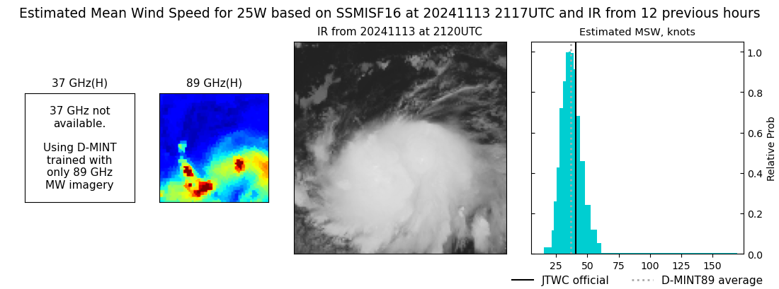 |
| 20241113 | 1853 UTC | SSMISF18 | NaN hPa | 33 kts | 28 kts | 38 kts |  |
| 20241113 | 1748 UTC | GMI | NaN hPa | 36 kts | 31 kts | 41 kts |  |
| 20241113 | 0615 UTC | SSMISF18 | NaN hPa | 33 kts | 29 kts | 38 kts |  |
| 20241113 | 0331 UTC | AMSR2 | NaN hPa | 28 kts | 25 kts | 31 kts |  |
| 20241113 | 0319 UTC | ATMS | NaN hPa | 33 kts | 28 kts | 38 kts |  |
| 20241112 | 2304 UTC | TROPICS03 | NaN hPa | 34 kts | 30 kts | 38 kts | 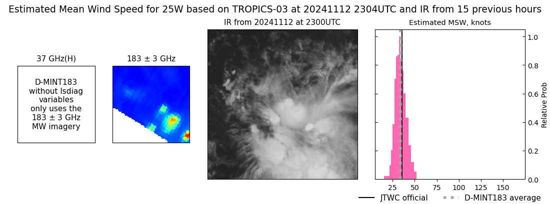 |
| 20241112 | 0314 UTC | ATMS | NaN hPa | 31 kts | 27 kts | 35 kts |  |
| 20241112 | 0201 UTC | TROPICS06 | NaN hPa | 30 kts | 26 kts | 34 kts |  |
| 20241111 | 2005 UTC | SSMISF17 | NaN hPa | 39 kts | 33 kts | 44 kts |  |
| 20241111 | 2002 UTC | SSMISF16 | NaN hPa | 36 kts | 31 kts | 41 kts |  |
| 20241111 | 1558 UTC | AMSR2 | NaN hPa | 41 kts | 35 kts | 47 kts | 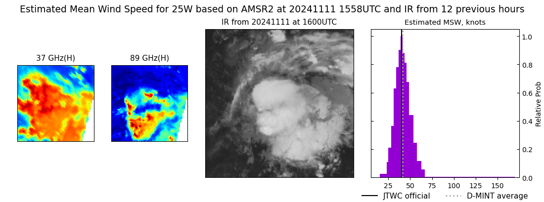 |
| 20241111 | 1056 UTC | TROPICS06 | NaN hPa | 28 kts | 25 kts | 32 kts |  |
| 20241111 | 0728 UTC | SSMISF16 | NaN hPa | 21 kts | 19 kts | 24 kts |  |
| 20241111 | 0236 UTC | TROPICS06 | NaN hPa | 27 kts | 24 kts | 31 kts | 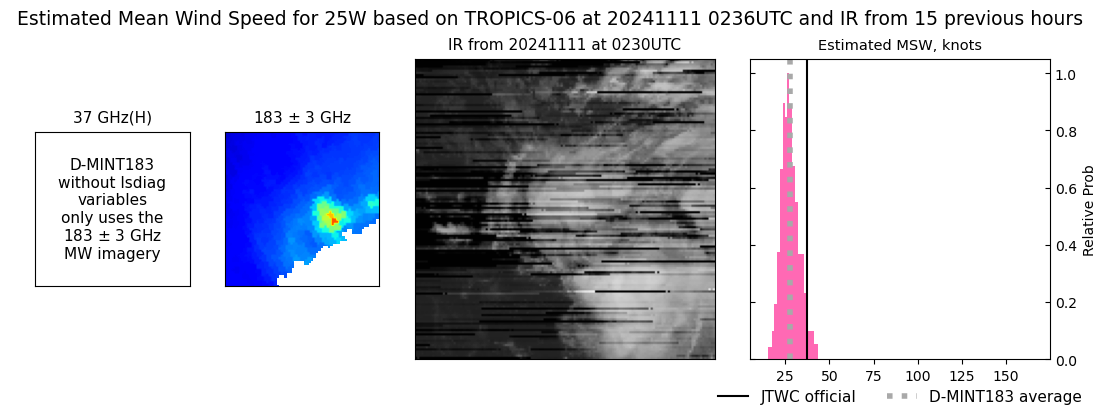 |
| 20241110 | 2019 UTC | SSMISF17 | NaN hPa | 33 kts | 29 kts | 38 kts |  |
| 20241110 | 2016 UTC | SSMISF16 | NaN hPa | 35 kts | 30 kts | 41 kts |  |
| 20241110 | 1751 UTC | SSMISF18 | NaN hPa | 39 kts | 34 kts | 44 kts | 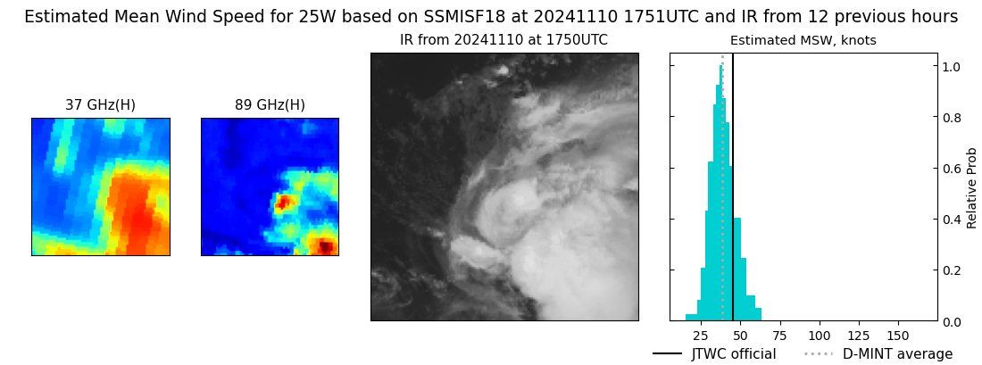 |
| 20241110 | 1513 UTC | AMSR2 | NaN hPa | 34 kts | 30 kts | 38 kts |  |
| 20241110 | 1130 UTC | TROPICS06 | NaN hPa | 45 kts | 39 kts | 52 kts |  |
| 20241110 | 0744 UTC | SSMISF17 | NaN hPa | 50 kts | 43 kts | 57 kts |  |
| 20241110 | 0740 UTC | SSMISF16 | NaN hPa | 40 kts | 34 kts | 46 kts |  |
| 20241110 | 0517 UTC | SSMISF18 | NaN hPa | 51 kts | 44 kts | 58 kts |  |
| 20241110 | 0300 UTC | AMSR2 | NaN hPa | 39 kts | 35 kts | 45 kts |  |
| 20241109 | 1806 UTC | SSMISF18 | NaN hPa | 46 kts | 40 kts | 53 kts | 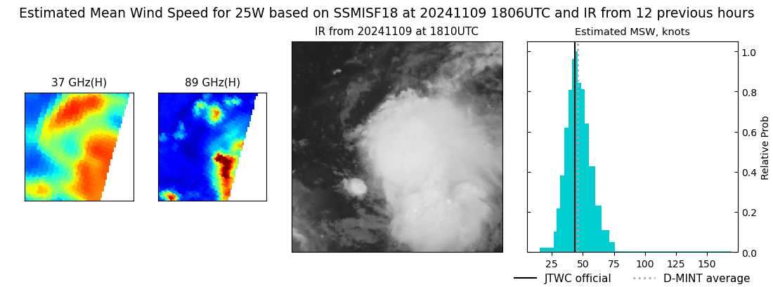 |
| 20241109 | 1732 UTC | GMI | NaN hPa | 44 kts | 38 kts | 50 kts |  |
| 20241109 | 1728 UTC | GMI | NaN hPa | 45 kts | 39 kts | 51 kts |  |
| 20241109 | 0754 UTC | SSMISF16 | NaN hPa | 33 kts | 29 kts | 38 kts |  |
| 20241109 | 0529 UTC | SSMISF18 | NaN hPa | 36 kts | 31 kts | 41 kts |  |
| 20241108 | 1504 UTC | TROPICS03 | NaN hPa | 28 kts | 25 kts | 32 kts | 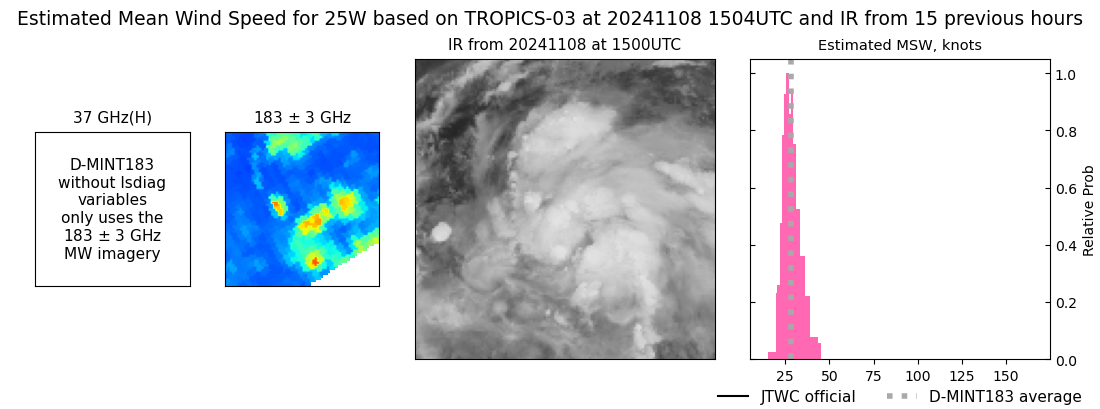 |
|
