|
Storm: 26W
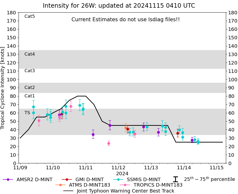
D-MINT HISTORY FILE for 2024_26W
| Date | Time | MW Sensor | MSLP | Vmax
(30th-70th percentile average) | Vmax
25th percentile | Vmax
75th percentile | Image |
| 20241114 | 1013 UTC | SSMISF17 | NaN hPa | 26 kts | 23 kts | 30 kts | 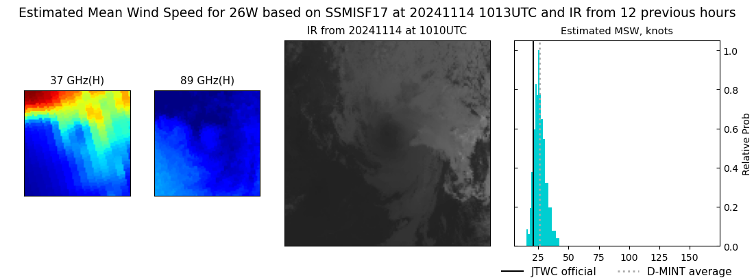 |
| 20241114 | 1011 UTC | SSMISF16 | NaN hPa | 25 kts | 23 kts | 28 kts | 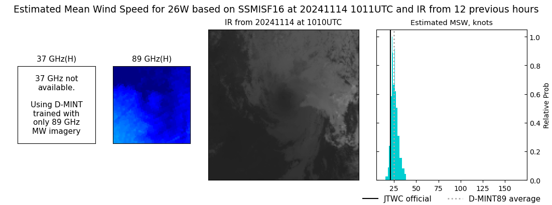 |
| 20241114 | 0746 UTC | SSMISF18 | NaN hPa | 28 kts | 24 kts | 32 kts | 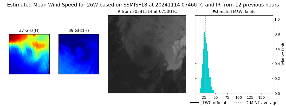 |
| 20241114 | 0555 UTC | AMSR2 | NaN hPa | 28 kts | 24 kts | 31 kts | 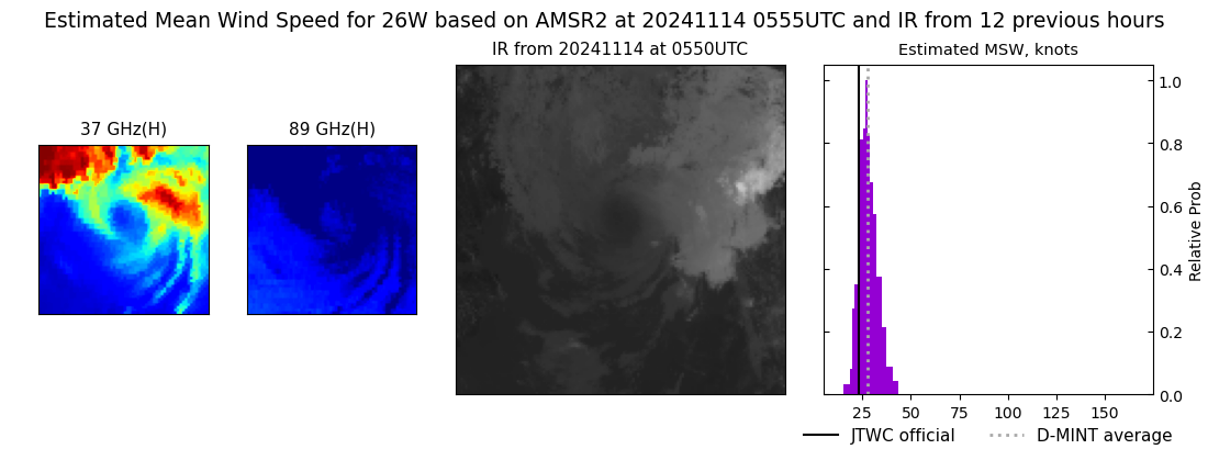 |
| 20241113 | 2259 UTC | SSMISF17 | NaN hPa | 37 kts | 32 kts | 42 kts | 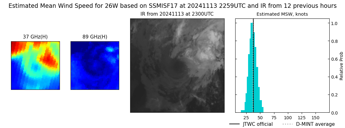 |
| 20241113 | 2256 UTC | SSMISF16 | NaN hPa | 31 kts | 27 kts | 35 kts | 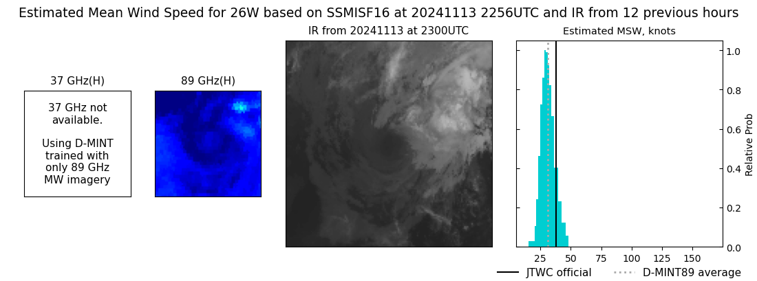 |
| 20241113 | 2032 UTC | SSMISF18 | NaN hPa | 40 kts | 35 kts | 45 kts | 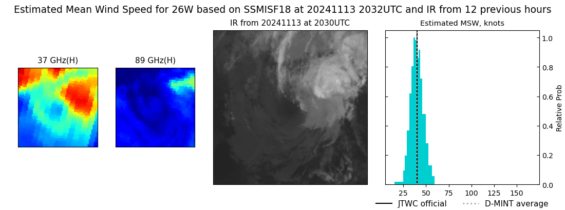 |
| 20241113 | 1923 UTC | GMI | NaN hPa | 36 kts | 31 kts | 41 kts | 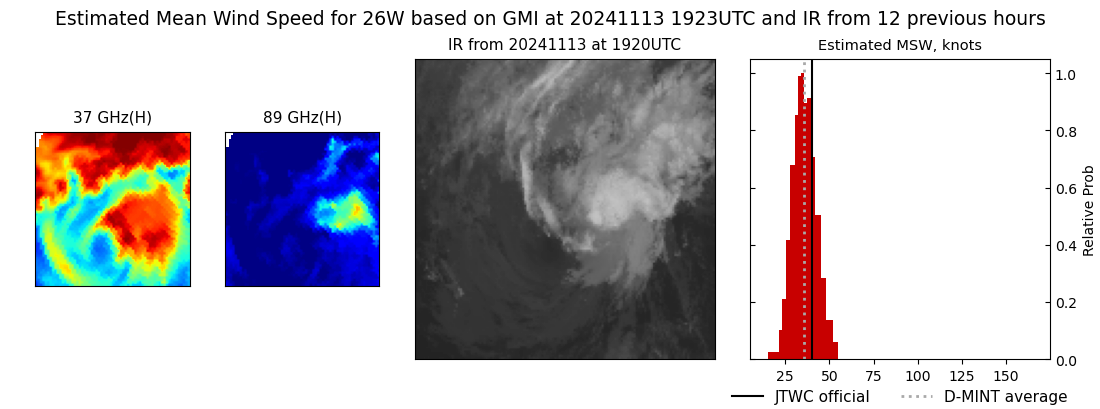 |
| 20241113 | 1027 UTC | SSMISF17 | NaN hPa | 43 kts | 37 kts | 48 kts | 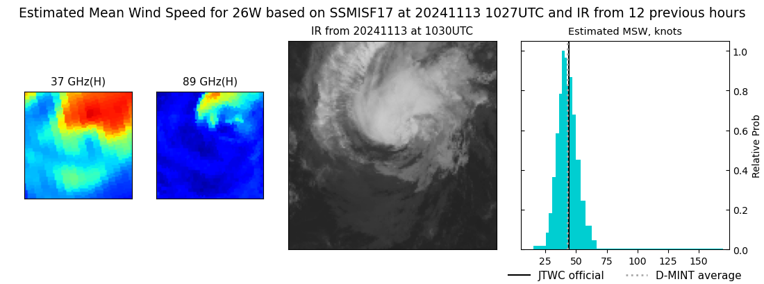 |
| 20241113 | 1024 UTC | SSMISF16 | NaN hPa | 38 kts | 33 kts | 43 kts | 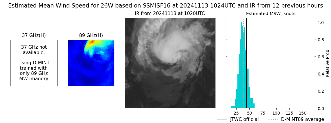 |
| 20241113 | 0800 UTC | SSMISF18 | NaN hPa | 44 kts | 39 kts | 51 kts | 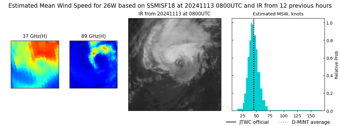 |
| 20241113 | 0512 UTC | AMSR2 | NaN hPa | 37 kts | 32 kts | 41 kts | 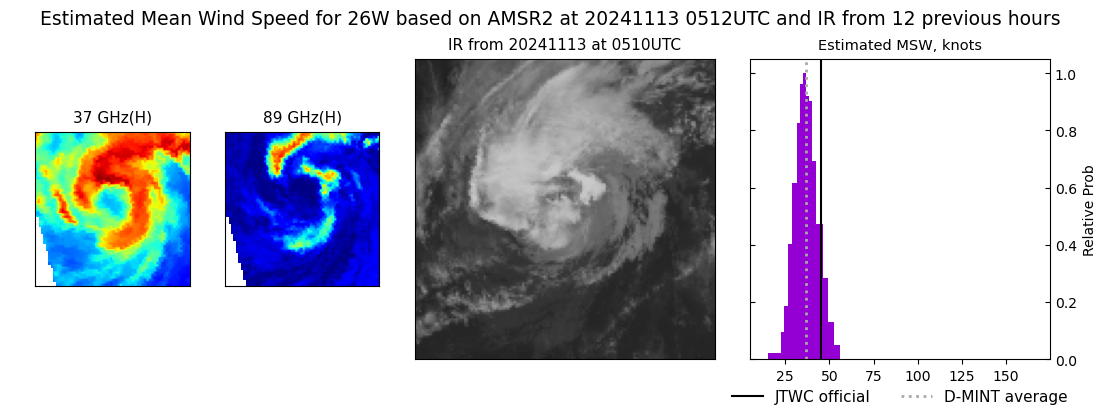 |
| 20241112 | 2046 UTC | SSMISF18 | NaN hPa | 44 kts | 39 kts | 48 kts | 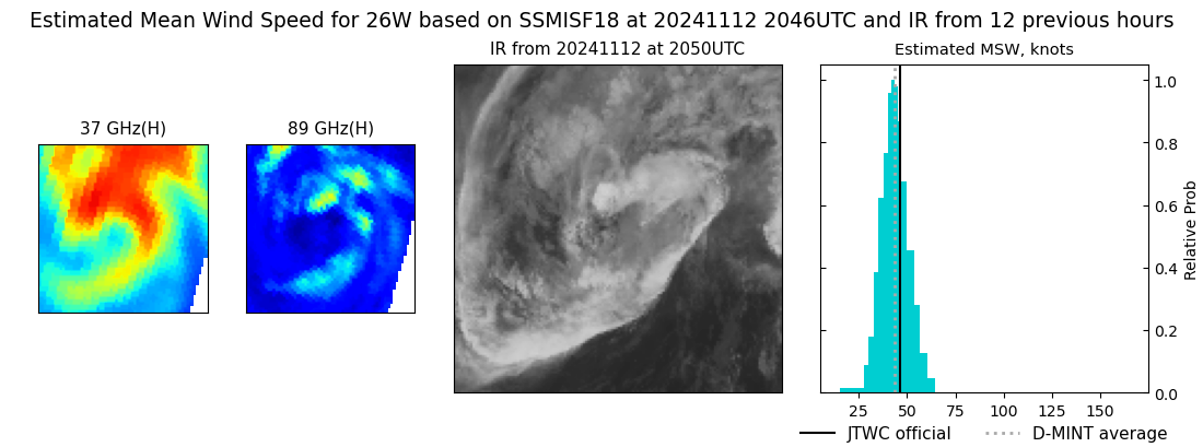 |
| 20241112 | 1818 UTC | AMSR2 | NaN hPa | 43 kts | 38 kts | 48 kts | 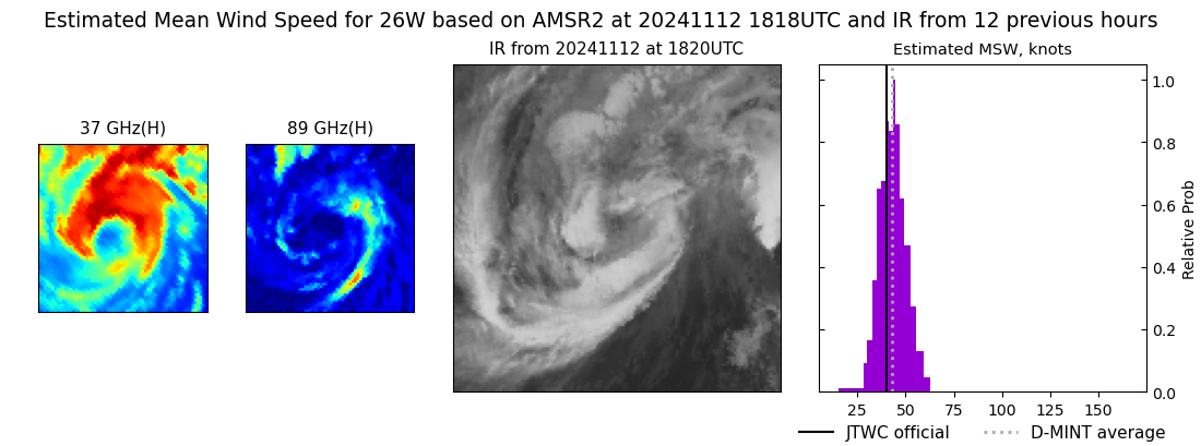 |
| 20241112 | 1153 UTC | TROPICS06 | NaN hPa | 35 kts | 31 kts | 40 kts | 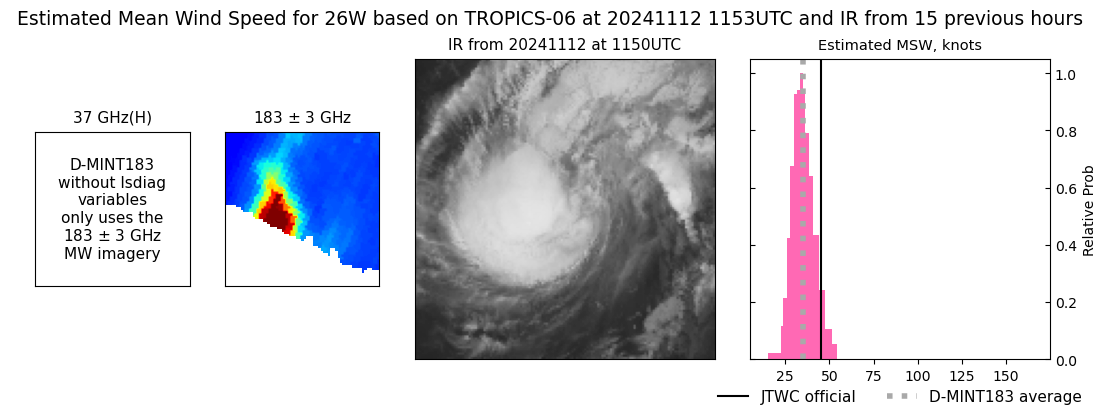 |
| 20241112 | 1038 UTC | SSMISF16 | NaN hPa | 37 kts | 33 kts | 42 kts | 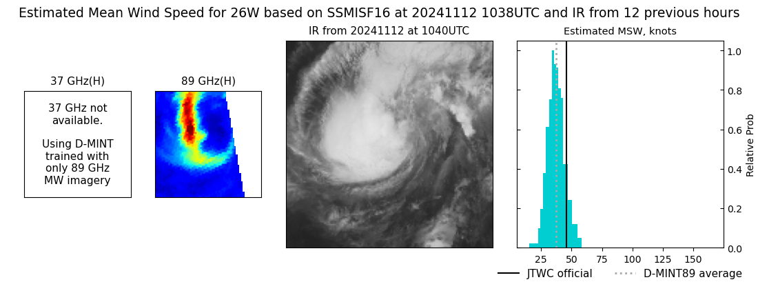 |
| 20241112 | 0814 UTC | SSMISF18 | NaN hPa | 37 kts | 33 kts | 42 kts | 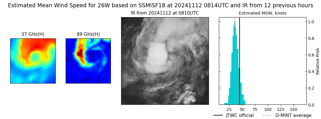 |
| 20241112 | 0643 UTC | GMI | NaN hPa | 41 kts | 36 kts | 45 kts | 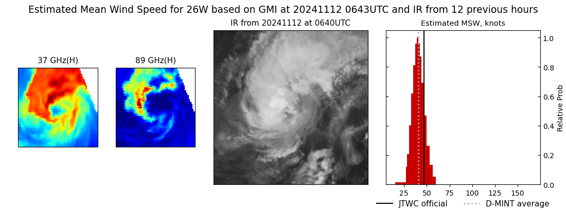 |
| 20241112 | 0519 UTC | ATMS | NaN hPa | 42 kts | 38 kts | 47 kts | 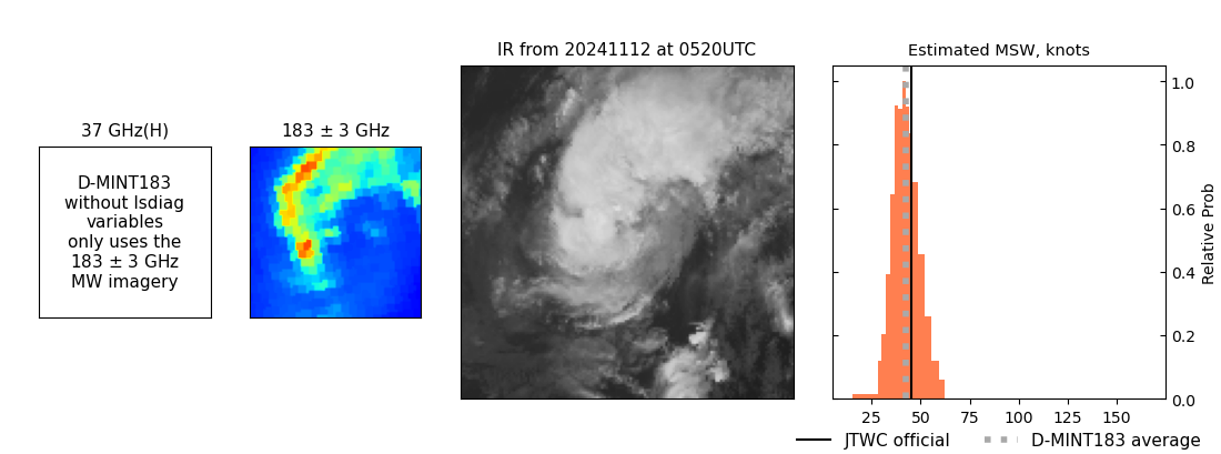 |
| 20241111 | 1735 UTC | AMSR2 | NaN hPa | 45 kts | 40 kts | 51 kts | 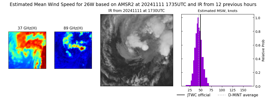 |
| 20241111 | 1646 UTC | TROPICS03 | NaN hPa | 24 kts | 21 kts | 27 kts | 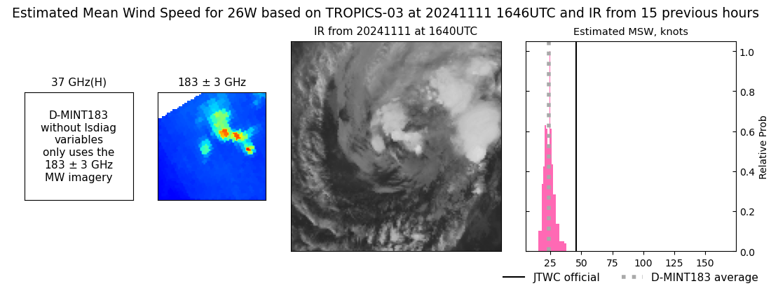 |
| 20241111 | 0523 UTC | AMSR2 | NaN hPa | 34 kts | 30 kts | 40 kts | 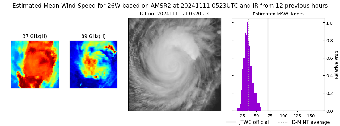 |
| 20241110 | 2201 UTC | SSMISF17 | NaN hPa | 65 kts | 59 kts | 71 kts | 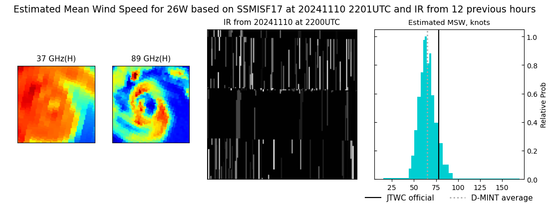 |
| 20241110 | 2157 UTC | SSMISF16 | NaN hPa | 64 kts | 58 kts | 71 kts | 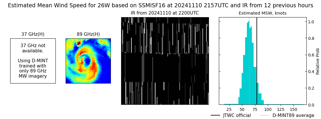 |
| 20241110 | 1933 UTC | SSMISF18 | NaN hPa | 69 kts | 63 kts | 76 kts | 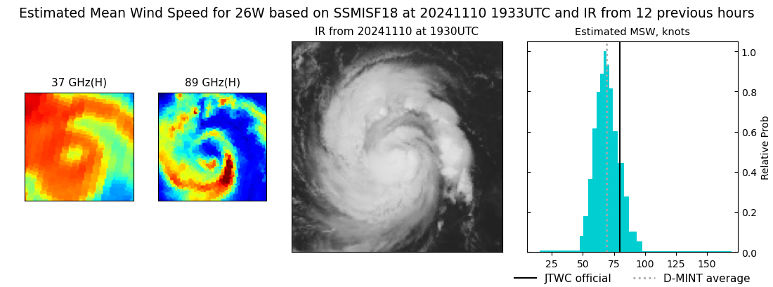 |
| 20241110 | 1302 UTC | TROPICS06 | NaN hPa | 68 kts | 62 kts | 74 kts | 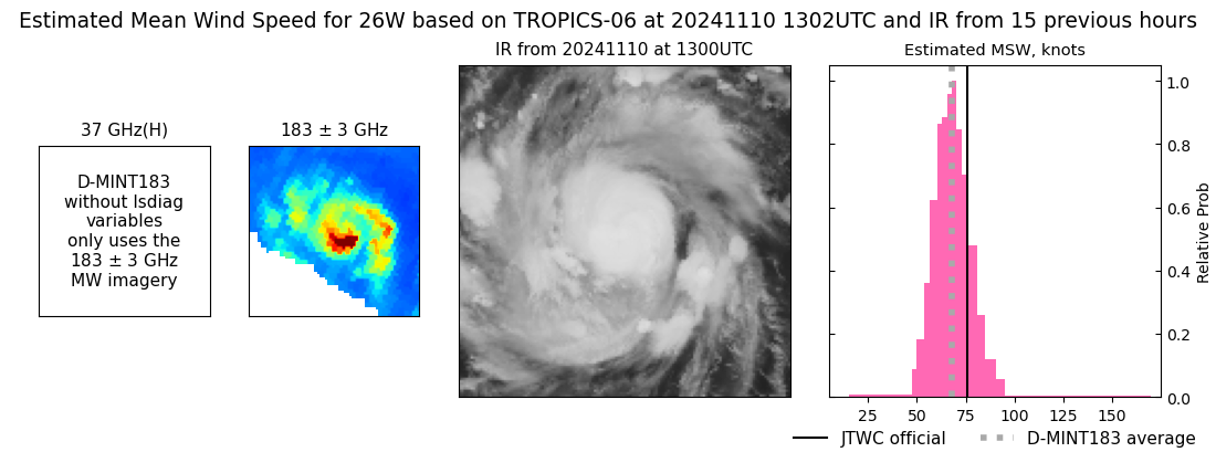 |
| 20241110 | 0926 UTC | SSMISF17 | NaN hPa | 60 kts | 53 kts | 67 kts | 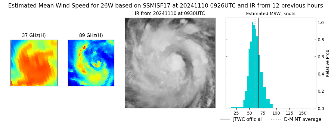 |
| 20241110 | 0923 UTC | SSMISF16 | NaN hPa | 68 kts | 60 kts | 75 kts | 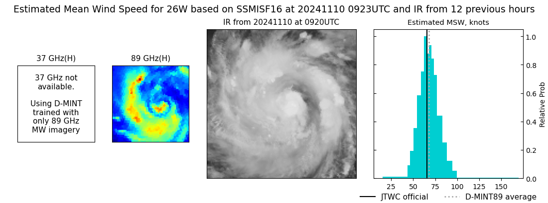 |
| 20241110 | 0659 UTC | SSMISF18 | NaN hPa | 61 kts | 55 kts | 67 kts | 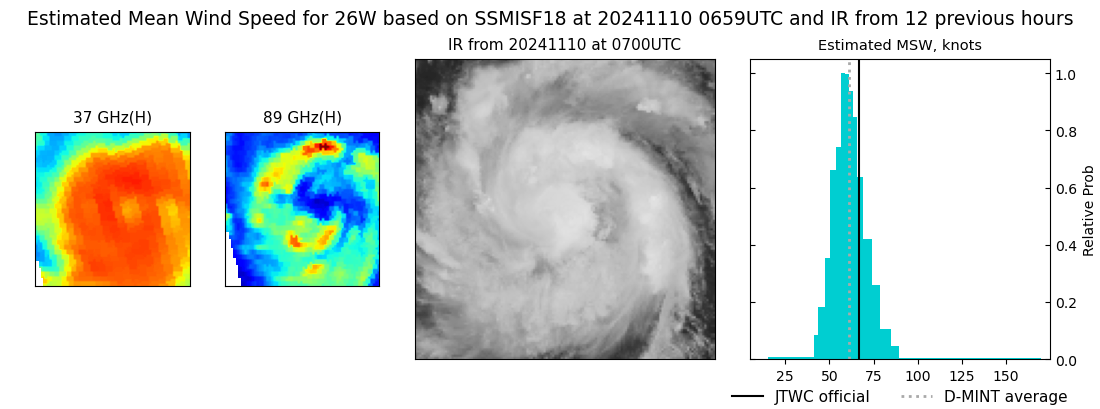 |
| 20241110 | 0633 UTC | GMI | NaN hPa | 59 kts | 53 kts | 65 kts | 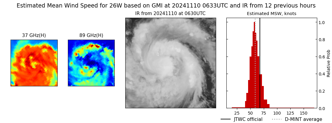 |
| 20241110 | 0442 UTC | TROPICS06 | NaN hPa | 55 kts | 50 kts | 61 kts | 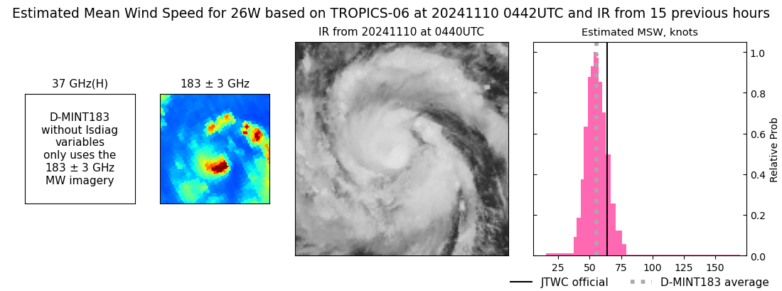 |
| 20241110 | 0440 UTC | AMSR2 | NaN hPa | 58 kts | 53 kts | 63 kts | 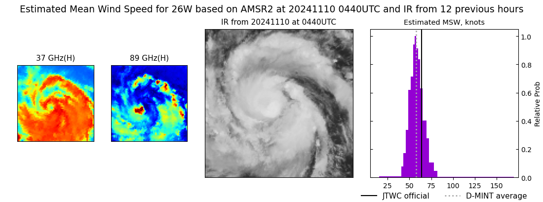 |
| 20241109 | 2216 UTC | SSMISF17 | NaN hPa | 55 kts | 49 kts | 61 kts | 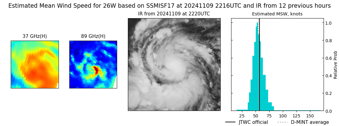 |
| 20241109 | 2211 UTC | SSMISF16 | NaN hPa | 58 kts | 51 kts | 64 kts | 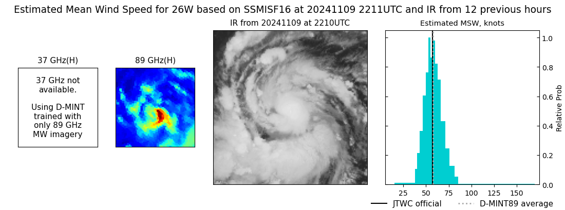 |
| 20241109 | 1947 UTC | SSMISF18 | NaN hPa | 58 kts | 52 kts | 65 kts | 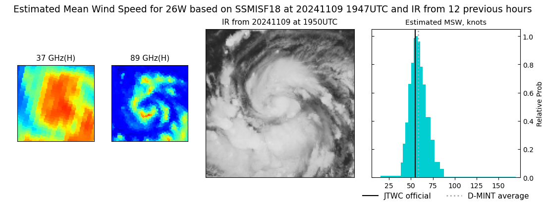 |
| 20241109 | 1337 UTC | TROPICS06 | NaN hPa | 51 kts | 45 kts | 57 kts | 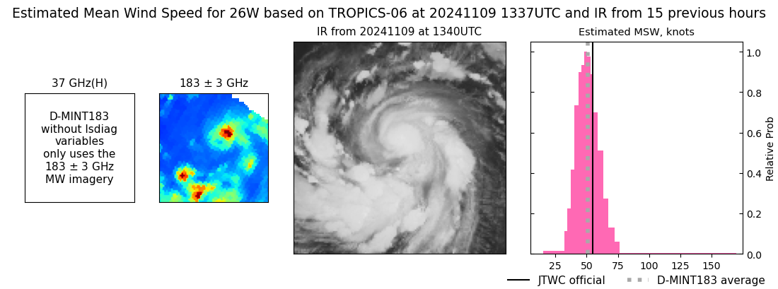 |
| 20241109 | 0940 UTC | SSMISF17 | NaN hPa | 67 kts | 60 kts | 75 kts | 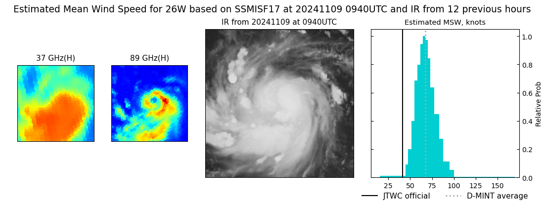 |
| 20241109 | 0935 UTC | SSMISF16 | NaN hPa | 60 kts | 53 kts | 68 kts | 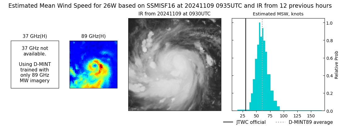 |
| 20241108 | 1638 UTC | TROPICS03 | NaN hPa | 27 kts | 25 kts | 31 kts | 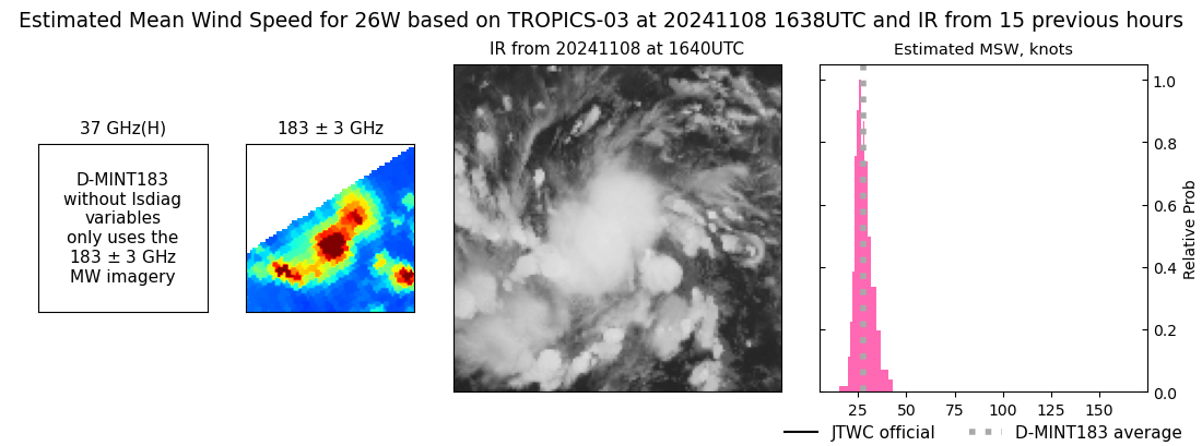 |
| 20241107 | 1708 UTC | TROPICS03 | NaN hPa | 24 kts | 22 kts | 27 kts |  |
| 20241107 | 0446 UTC | TROPICS06 | NaN hPa | 27 kts | 25 kts | 30 kts | 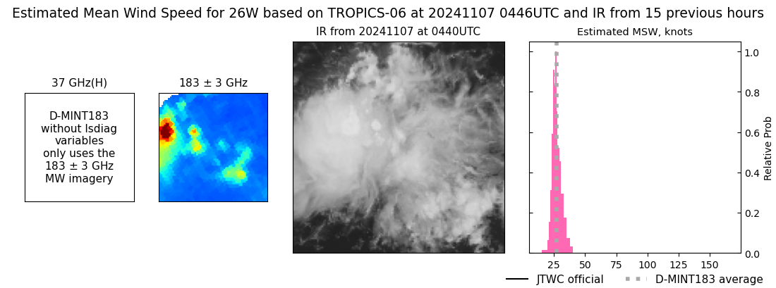 |
|
