|
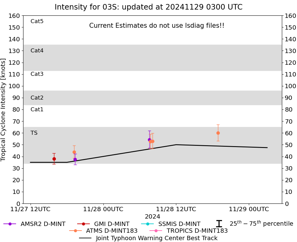
Storm: 03S
D-MINT HISTORY FILE for 2025_03S
| Date | Time | MW Sensor | MSLP | Vmax
(30th-70th percentile average) | Vmax
25th percentile | Vmax
75th percentile | Image |
| 20241130 | 0516 UTC | TROPICS03 | NaN hPa | 26 kts | 24 kts | 28 kts | 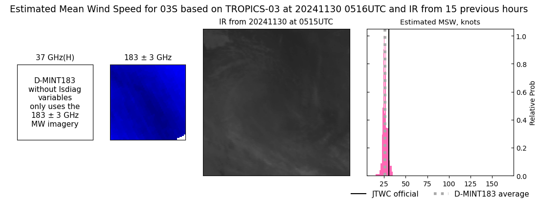 |
| 20241129 | 1911 UTC | AMSR2 | NaN hPa | 29 kts | 27 kts | 32 kts | 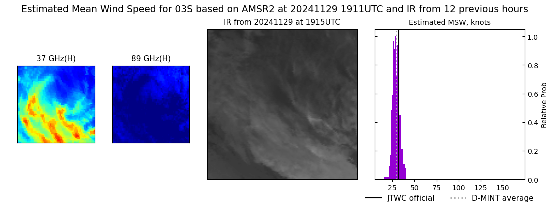 |
| 20241129 | 1734 UTC | TROPICS05 | NaN hPa | 28 kts | 25 kts | 32 kts | 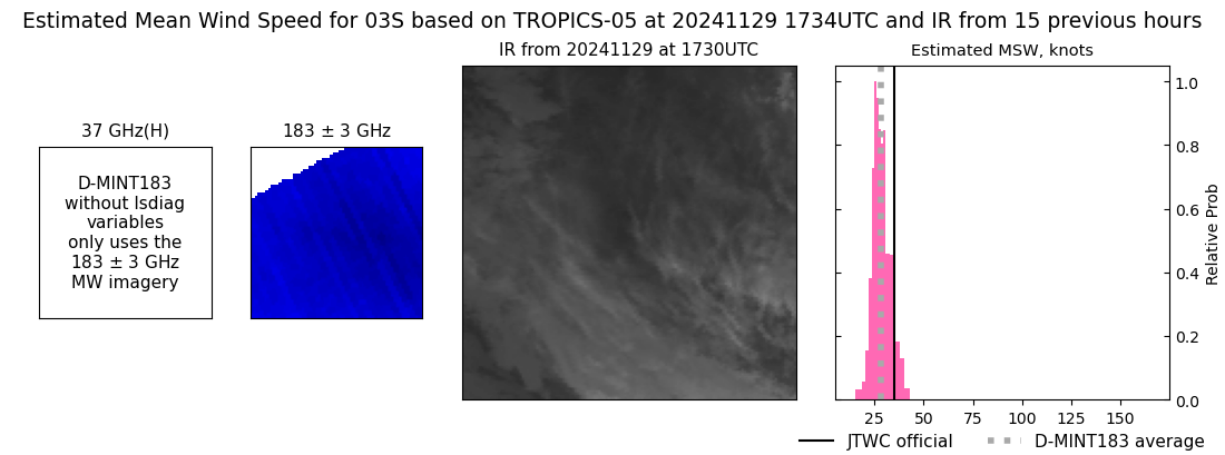 |
| 20241129 | 1705 UTC | TROPICS06 | NaN hPa | 28 kts | 25 kts | 31 kts | 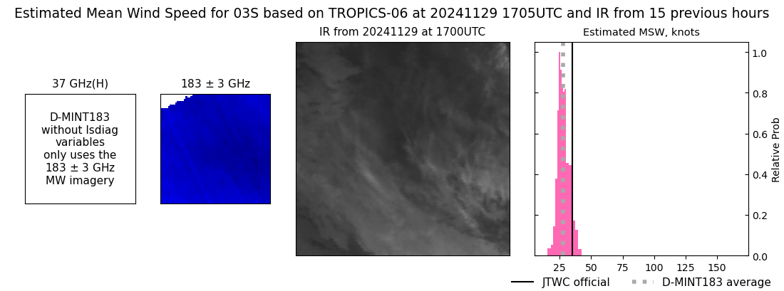 |
| 20241129 | 1136 UTC | SSMISF17 | NaN hPa | 29 kts | 25 kts | 33 kts |  |
| 20241129 | 0724 UTC | ATMS-N21 | NaN hPa | 44 kts | 39 kts | 49 kts | 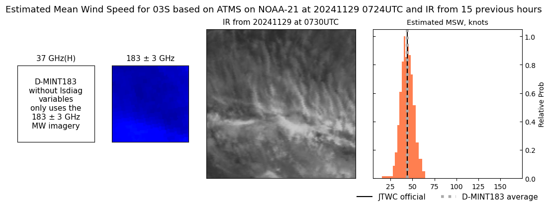 |
| 20241129 | 0432 UTC | GMI | NaN hPa | 38 kts | 34 kts | 43 kts | 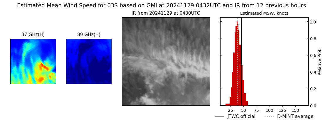 |
| 20241128 | 1853 UTC | ATMS-N21 | NaN hPa | 60 kts | 53 kts | 67 kts | 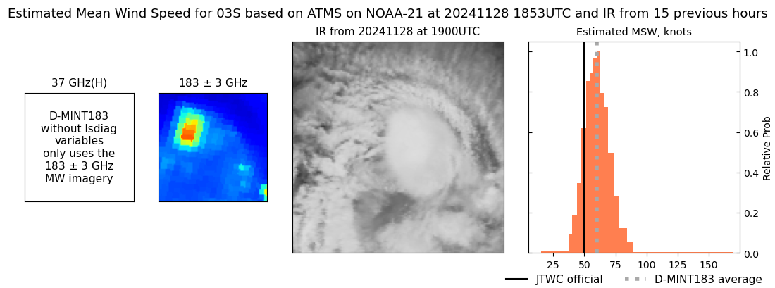 |
| 20241128 | 0807 UTC | ATMS-N20 | NaN hPa | 53 kts | 47 kts | 60 kts | 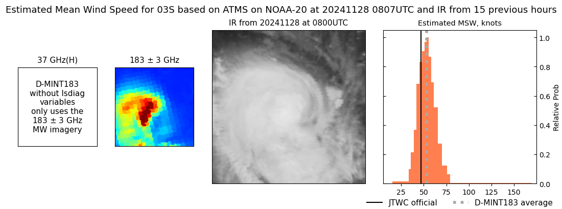 |
| 20241128 | 0744 UTC | ATMS-N21 | NaN hPa | 53 kts | 47 kts | 59 kts | 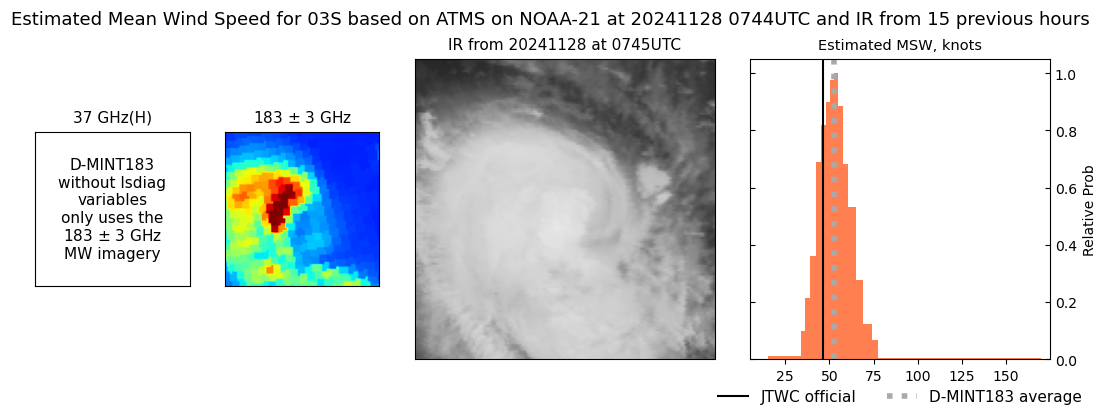 |
| 20241128 | 0736 UTC | AMSR2 | NaN hPa | 54 kts | 47 kts | 62 kts | 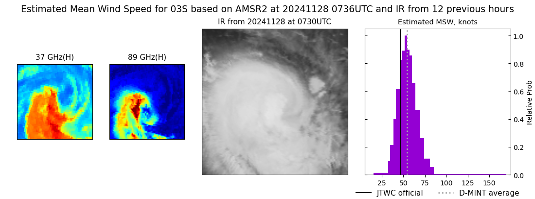 |
| 20241127 | 1922 UTC | AMSR2 | NaN hPa | 38 kts | 33 kts | 42 kts | 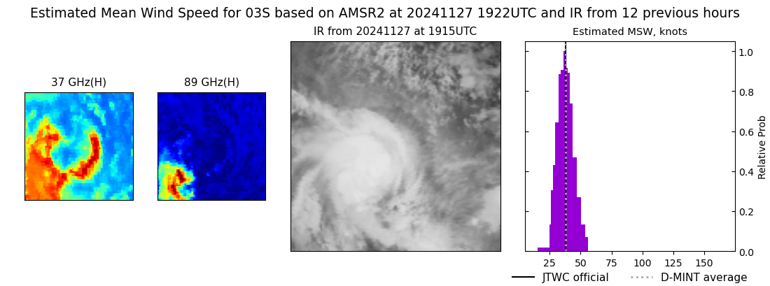 |
| 20241127 | 1911 UTC | ATMS-N21 | NaN hPa | 44 kts | 38 kts | 49 kts | 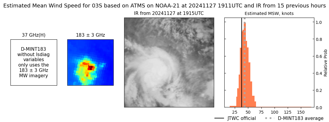 |
| 20241127 | 1552 UTC | GMI | NaN hPa | 38 kts | 34 kts | 43 kts | 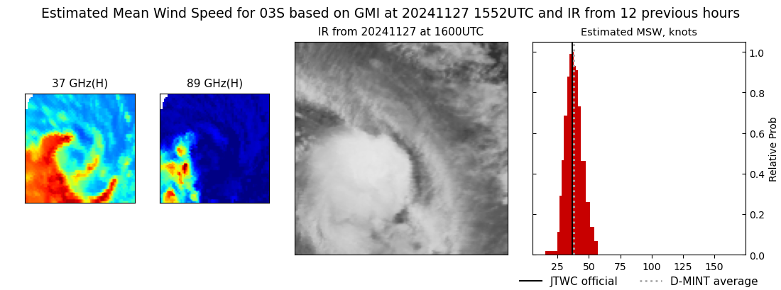 |
| 20241127 | 0955 UTC | TROPICS06 | NaN hPa | 40 kts | 35 kts | 45 kts | 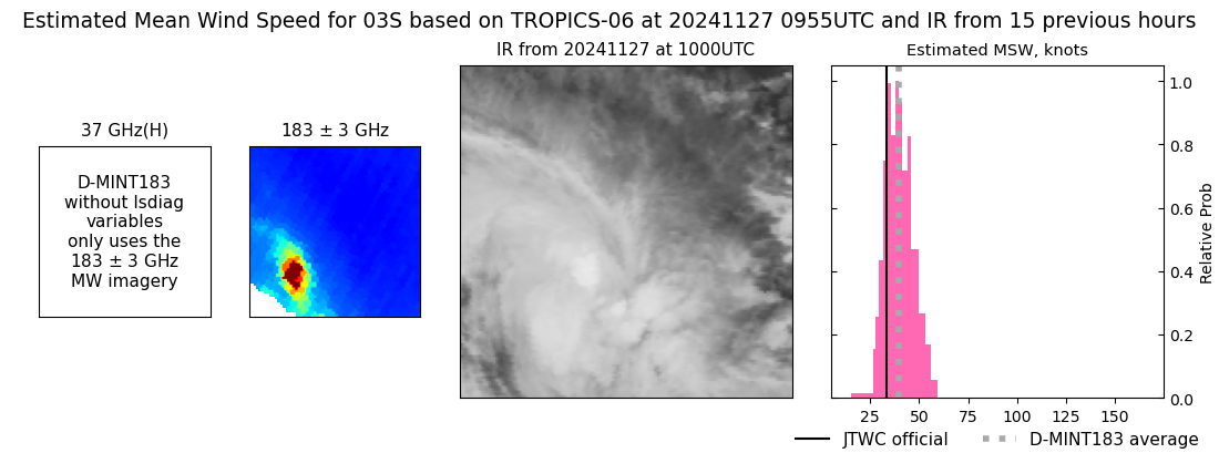 |
| 20241126 | 2228 UTC | TROPICS03 | NaN hPa | 31 kts | 29 kts | 35 kts | 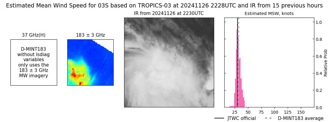 |
| 20241126 | 1929 UTC | ATMS-N21 | NaN hPa | 29 kts | 27 kts | 31 kts | 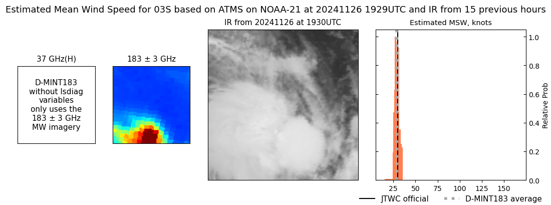 |
|
