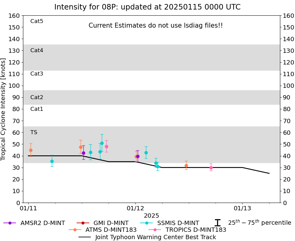
|
Storm: 08P
D-MINT HISTORY FILE for 2025_08P
| Date | Time | MW Sensor | MSLP | Vmax
(30th-70th percentile average) | Vmax
25th percentile | Vmax
75th percentile | Image |
| 20250114 | 1549 UTC | SSMISF16 | NaN hPa | 23 kts | 21 kts | 24 kts | 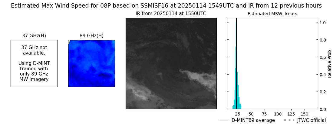 |
| 20250114 | 1114 UTC | AMSR2 | NaN hPa | 25 kts | 23 kts | 27 kts | 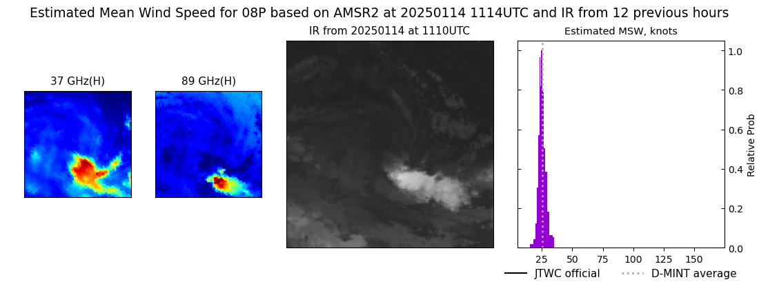 |
| 20250114 | 0432 UTC | SSMISF16 | NaN hPa | 24 kts | 22 kts | 26 kts | 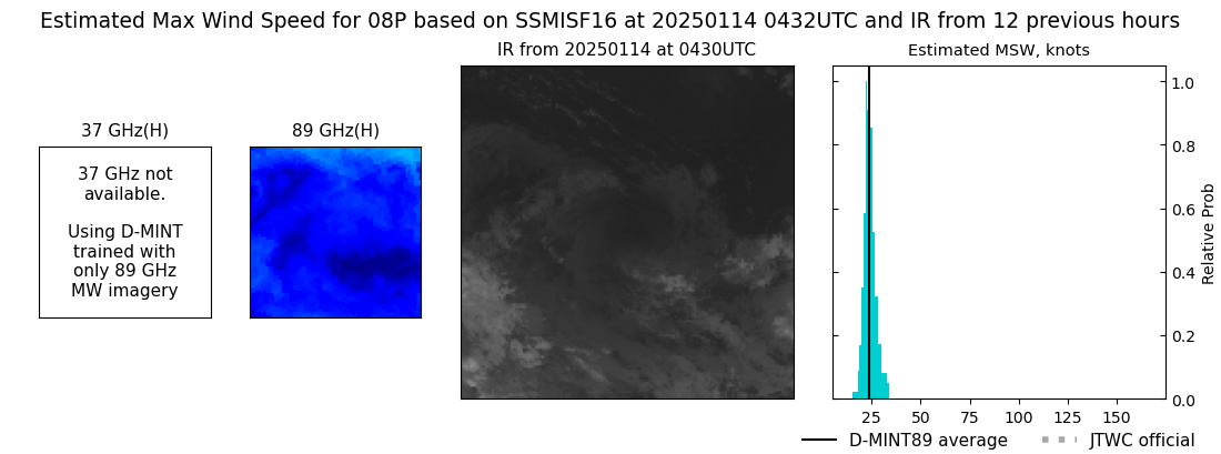 |
| 20250114 | 0407 UTC | SSMISF17 | NaN hPa | 24 kts | 22 kts | 26 kts | 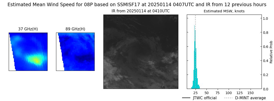 |
| 20250114 | 0156 UTC | SSMISF18 | NaN hPa | 24 kts | 22 kts | 25 kts | 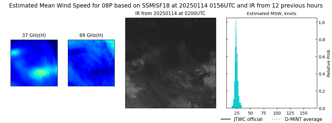 |
| 20250114 | 0018 UTC | AMSR2 | NaN hPa | 25 kts | 23 kts | 27 kts | 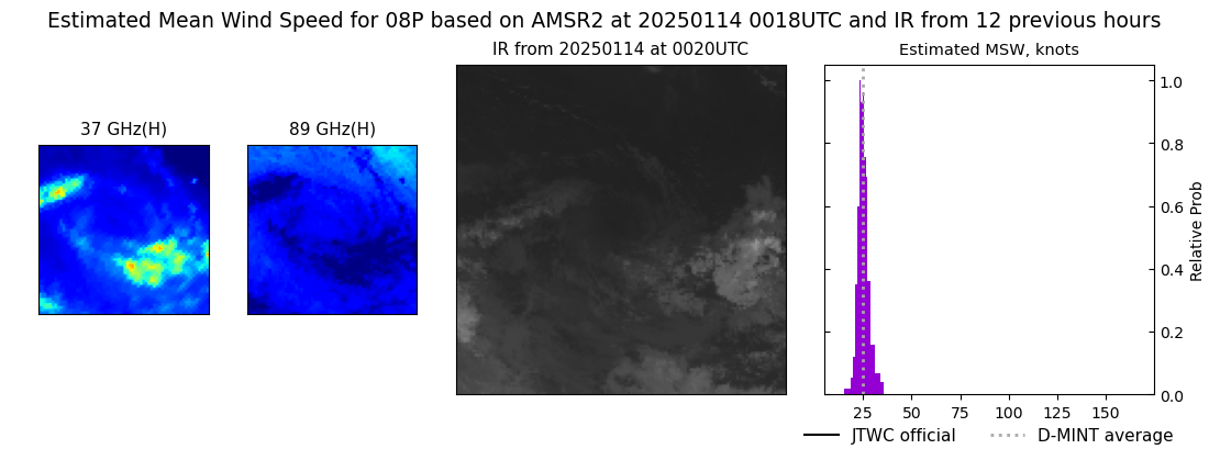 |
| 20250112 | 1656 UTC | TROPICS03 | 999 hPa | 30 kts | 27 kts | 33 kts | 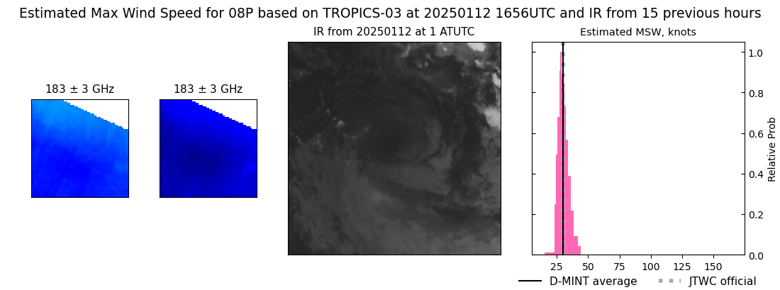 |
| 20250112 | 1124 UTC | ATMS-N20 | 999 hPa | 32 kts | 28 kts | 36 kts | 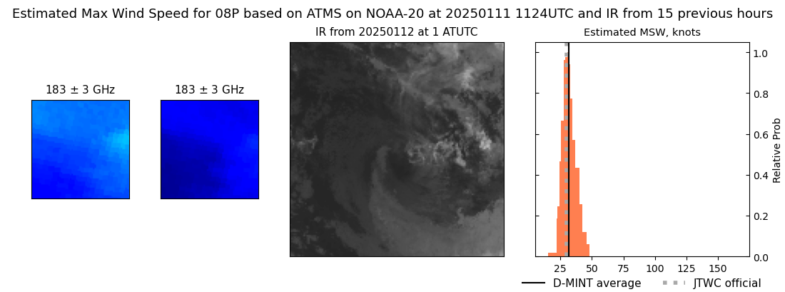 |
| 20250112 | 0500 UTC | SSMISF16 | 1001 hPa | 31 kts | 28 kts | 35 kts | 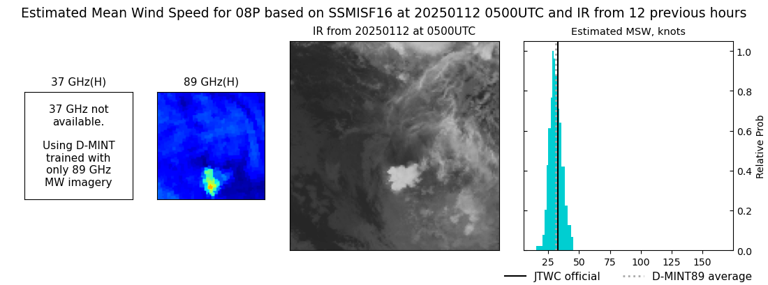 |
| 20250112 | 0435 UTC | SSMISF17 | 999 hPa | 34 kts | 30 kts | 38 kts | 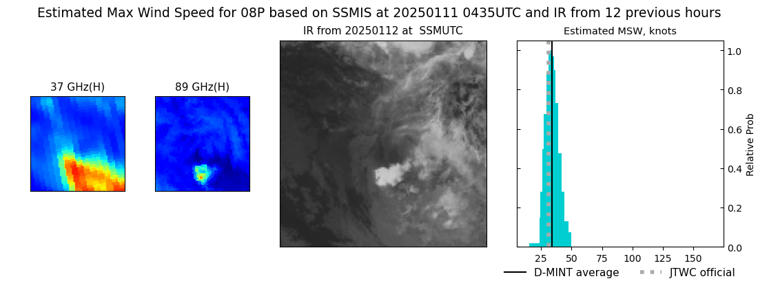 |
| 20250112 | 0224 UTC | SSMISF18 | 998 hPa | 43 kts | 38 kts | 48 kts | 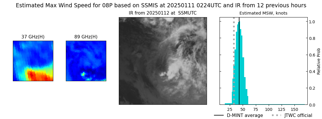 |
| 20250112 | 0030 UTC | AMSR2 | 998 hPa | 40 kts | 35 kts | 45 kts | 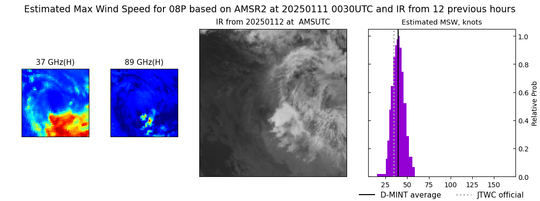 |
| 20250112 | 0011 UTC | ATMS-N20 | 996 hPa | 39 kts | 35 kts | 44 kts | 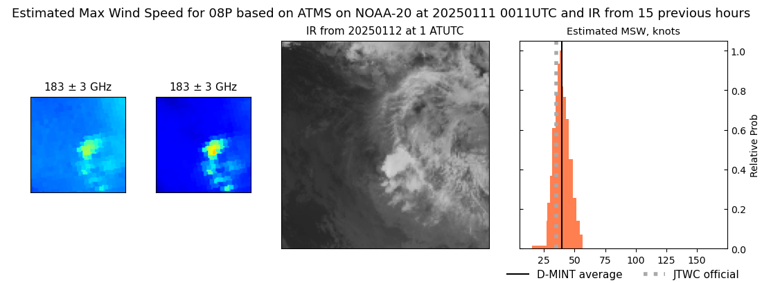 |
| 20250111 | 1731 UTC | TROPICS03 | 991 hPa | 48 kts | 43 kts | 53 kts | 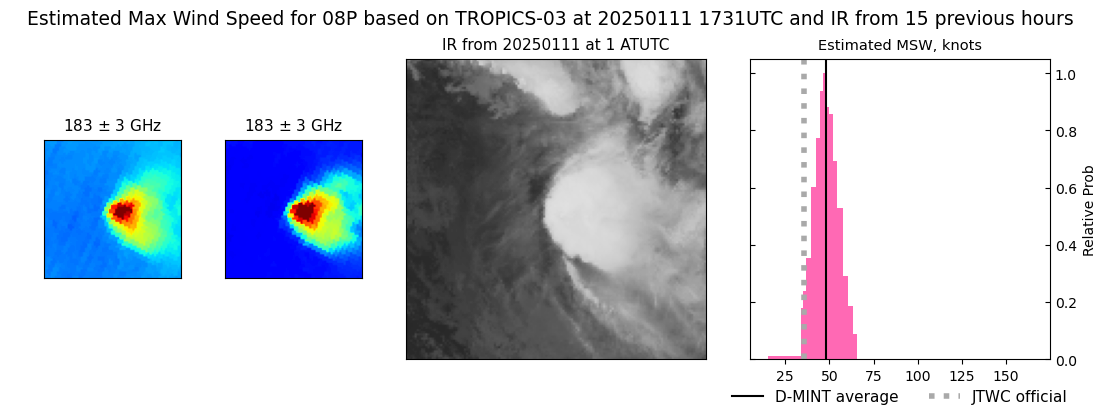 |
| 20250111 | 1629 UTC | SSMISF16 | 989 hPa | 51 kts | 44 kts | 58 kts | 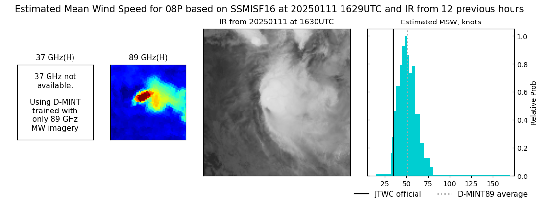 |
| 20250111 | 1605 UTC | SSMISF17 | 989 hPa | 44 kts | 37 kts | 51 kts | 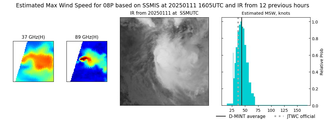 |
| 20250111 | 1354 UTC | SSMISF18 | 985 hPa | 43 kts | 37 kts | 50 kts | 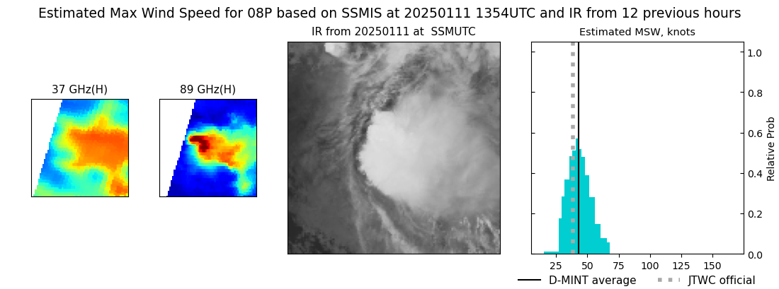 |
| 20250111 | 1221 UTC | AMSR2 | 990 hPa | 43 kts | 37 kts | 49 kts | 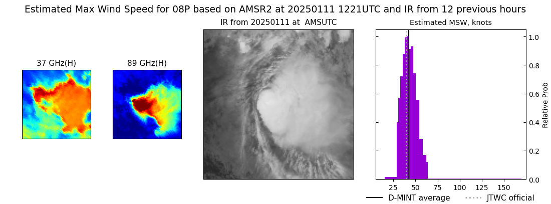 |
| 20250111 | 1142 UTC | ATMS-N20 | 992 hPa | 47 kts | 42 kts | 54 kts | 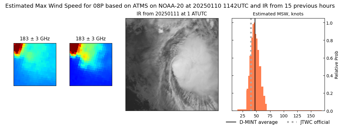 |
| 20250111 | 0515 UTC | SSMISF16 | 996 hPa | 35 kts | 31 kts | 41 kts | 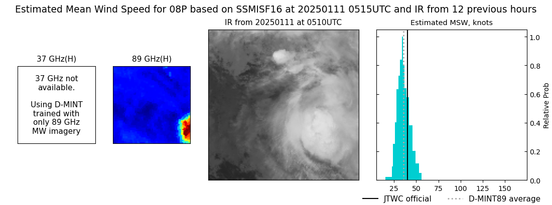 |
| 20250111 | 0031 UTC | ATMS-N20 | 988 hPa | 45 kts | 40 kts | 51 kts | 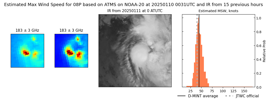 |
| 20250110 | 1804 UTC | TROPICS03 | NaN hPa | 41 kts | 36 kts | 47 kts | 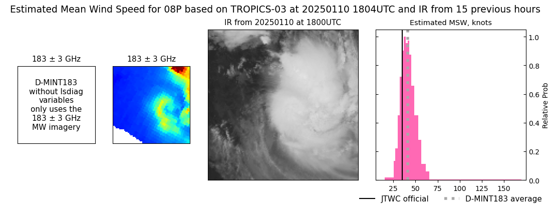 |
| 20250109 | 1838 UTC | TROPICS03 | NaN hPa | 33 kts | 29 kts | 37 kts | 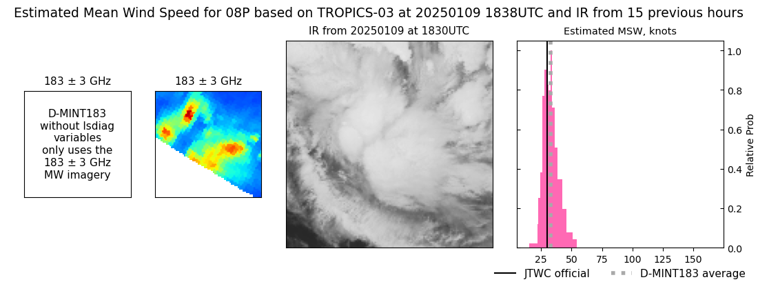 |
| 20250109 | 0331 UTC | TROPICS03 | NaN hPa | 23 kts | 22 kts | 25 kts | 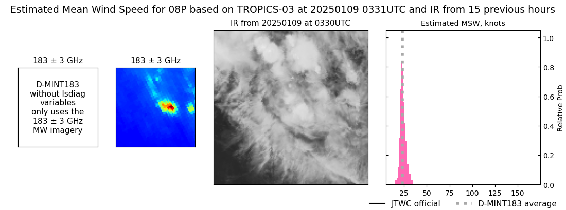 |
|
