|
Storm: 96B
D-PRINT HISTORY FILE for 2025_96B
| Date | Time | Vmax
(30th-70th percentile average) | Vmax
25th percentile | Vmax
75th percentile | Image |
| 20251127 | 0000 UTC | 29 kts | 24 kts | 33 kts |  |
| 20251126 | 2100 UTC | 30 kts | 25 kts | 34 kts |  |
| 20251126 | 1800 UTC | 31 kts | 26 kts | 35 kts |  |
| 20251126 | 1500 UTC | 25 kts | 21 kts | 29 kts | 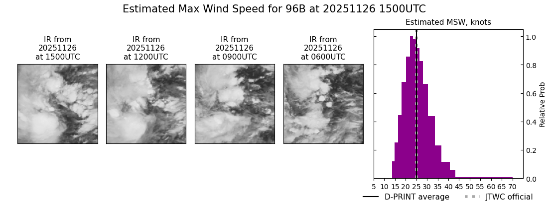 |
| 20251126 | 1200 UTC | 22 kts | 18 kts | 25 kts | 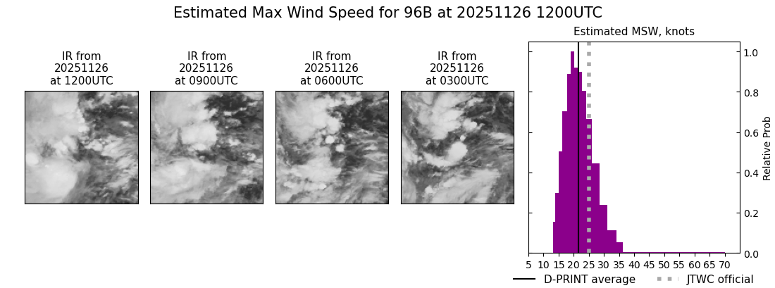 |
| 20251126 | 0900 UTC | 18 kts | 16 kts | 22 kts | 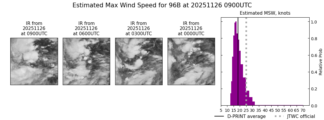 |
| 20251126 | 0600 UTC | 18 kts | 16 kts | 21 kts |  |
| 20251126 | 0300 UTC | 21 kts | 18 kts | 24 kts | 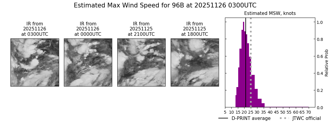 |
| 20251126 | 0000 UTC | 17 kts | 15 kts | 20 kts | 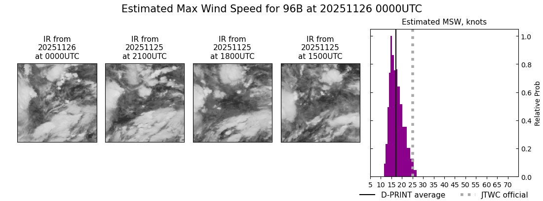 |
| 20251125 | 2100 UTC | 20 kts | 17 kts | 23 kts |  |
| 20251125 | 1800 UTC | 21 kts | 18 kts | 24 kts | 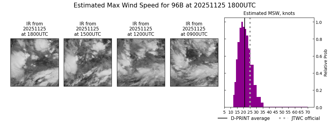 |
| 20251125 | 1500 UTC | 20 kts | 17 kts | 24 kts |  |
| 20251125 | 1200 UTC | 18 kts | 16 kts | 21 kts | 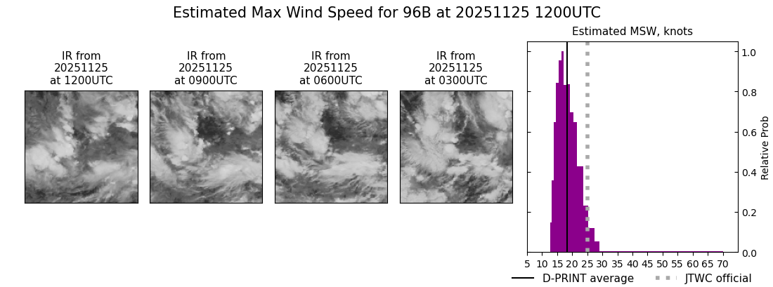 |
| 20251125 | 0900 UTC | 21 kts | 18 kts | 24 kts | 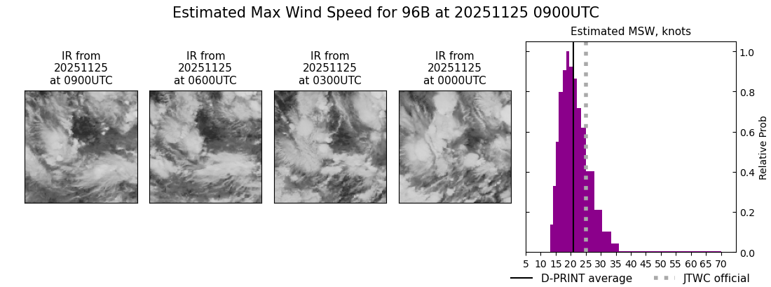 |
| 20251125 | 0600 UTC | 18 kts | 16 kts | 21 kts |  |
| 20251125 | 0300 UTC | 17 kts | 15 kts | 20 kts |  |
| 20251125 | 0000 UTC | 18 kts | 15 kts | 21 kts |  |
| 20251124 | 2100 UTC | 18 kts | 15 kts | 22 kts |  |
| 20251124 | 1800 UTC | 16 kts | 14 kts | 19 kts |  |
| 20251124 | 1500 UTC | 15 kts | 14 kts | 18 kts |  |
| 20251124 | 1200 UTC | 18 kts | 16 kts | 20 kts | 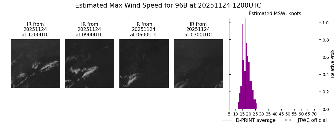 |
| 20251124 | 0900 UTC | 19 kts | 17 kts | 21 kts |  |
|
