UW - CIMSS
              ADVANCED DVORAK TECHNIQUE
                    ADT-Version 9.1
         Tropical Cyclone Intensity Algorithm

             ----- Current Analysis -----
     Date :  21 SEP 2026    Time :   055021 UTC
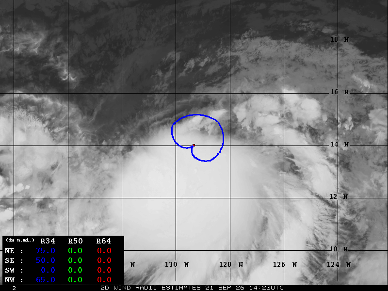
      Lat :   13:24:44 N     Lon :  128:05:22 W


                CI# /Pressure/ Vmax
                2.8 /1003.3mb/ 41.0kt


             Final T#  Adj T#  Raw T#
                2.3     2.8     2.9

 Center Temp :  -5.1C    Cloud Region Temp : -32.2C

 Scene Type : CURVED BAND with 0.71 ARC in DK GRAY

 Subtropical Adjustment : OFF

 Extratropical Adjustment : OFF

 Positioning Method : FORECAST INTERPOLATION

 Ocean Basin : EAST PACIFIC
 Dvorak CI > MSLP Conversion Used : CKZ Method

 Tno/CI Rules : Constraint Limits : 0.5T/hour
                   Weakening Flag : ON
           Rapid Dissipation Flag : FLAG

 C/K/Z MSLP Estimate Inputs :
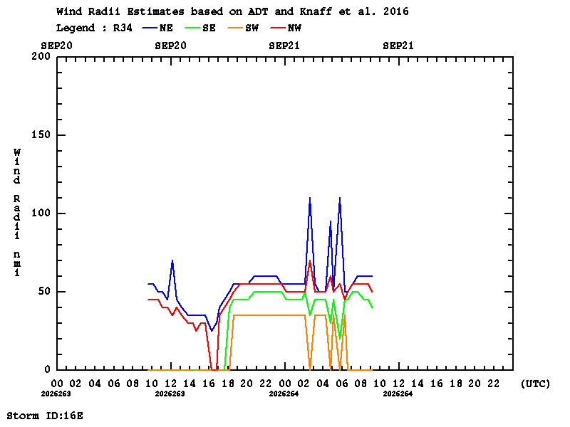
  - Average 34 knot radii :   50nmi
  - Environmental MSLP    : 1010mb

 Satellite Name :  GOES18
 Satellite Viewing Angle : 18.8 degrees

****************************************************
|