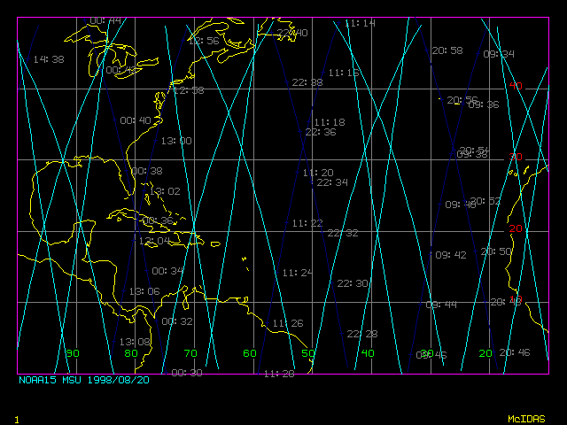
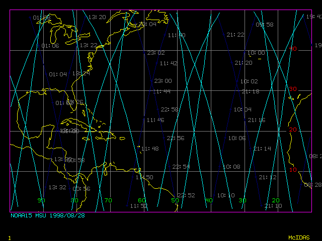
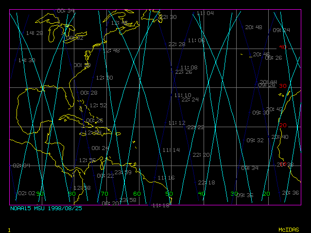
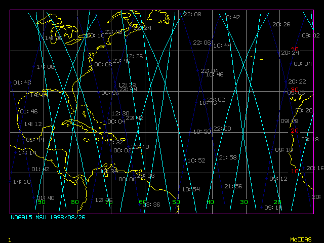
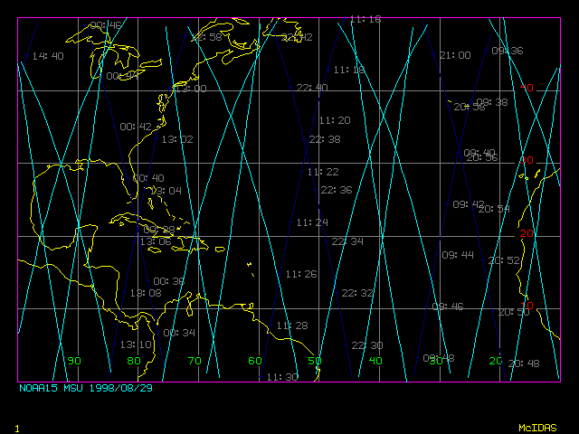
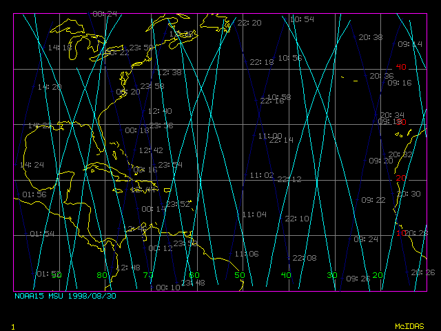
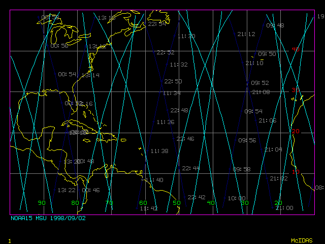
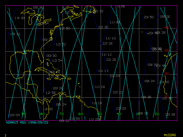
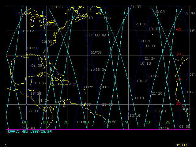
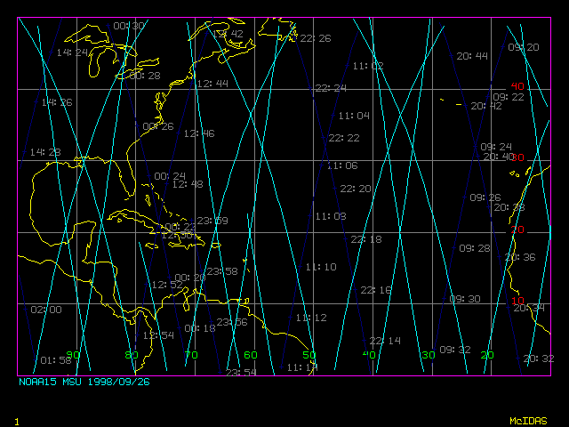
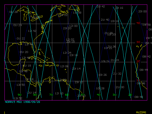
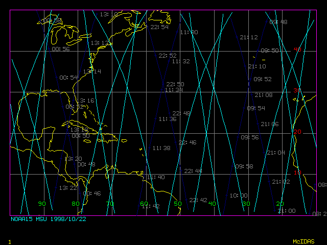
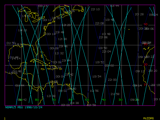
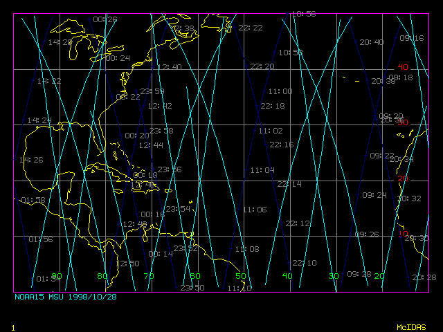
1998 Atlantic Storms--AMSU-A Coverage
McIDAS Plots:
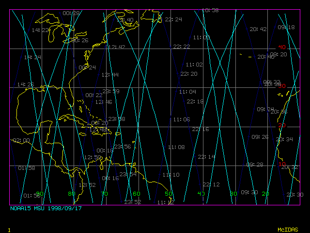
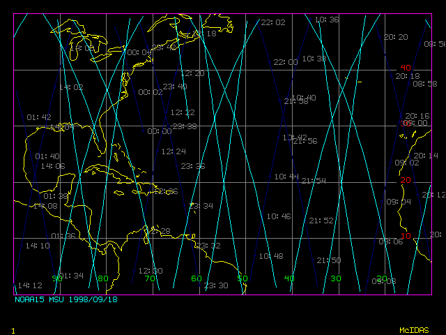
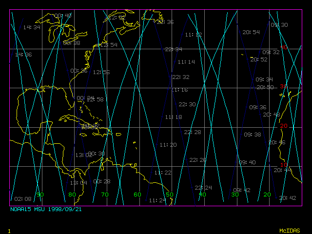
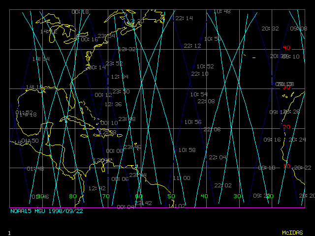
Dark blue lines indicate the NOAA-15 sub-satellite point, bright blue lines
the AMSU-A geographical coverage. Times (UTC) are indicated in gray.
Bonnie Storm
Track
Danielle Storm
Track
20 Aug 98 (232)
21 Aug 98 (233)
22 Aug 98 (234)
23 Aug 98 (235)
24 Aug 98 (236)
25 Aug 98 (237)
26 Aug 98 (238)
27 Aug 98 (239)
28 Aug 98 (240)
29 Aug 98 (241)
30 Aug 98 (242)
24 Aug 98 (236)
25 Aug 98 (237)
26 Aug 98 (238)
27 Aug 98 (239)
28 Aug 98 (240)
29 Aug 98 (241)
30 Aug 98 (242)
31 Aug 98 (243)
01 Sep 98 (244)
No coverage
02 Sep 98 (245)
03 Sep 98 (246)
Earl Storm
Track
Georges Storm
Track
01 Sep 98 (244)
02 Sep 98 (245)
03 Sep 98 (246)
16 Sep 98 (259)
17 Sep 98 (260)
18 Sep 98 (261)
19 Sep 98 (262)
20 Sep 98 (263)
21 Sep 98 (264)
22 Sep 98 (265)
23 Sep 98 (266)
24 Sep 98 (267)
25 Sep 98 (268)
26 Sep 98 (269)
27 Sep 98 (270)
28 Sep 98 (271)
29 Sep 98 (272)
Mitch Storm
Track
22 Oct 98 (295)
23 Oct 98 (296)
24 Oct 98 (297)
25 Oct 98 (298)
No coverage
26 Oct 98 (299)
27 Oct 98 (300)
28 Oct 98 (301)
No coverage
29 Oct 98 (302)
30 Oct 98 (303)
31 Oct 98 (304)
01 Nov 98 (305)
