|
Storm: 05W
D-MINT HISTORY FILE for 2023_05W
| Date | Time | MW Sensor | MSLP | Vmax
(30th-70th percentile average) | Vmax
25th percentile | Vmax
75th percentile | Image |
| 20230728 | 2221 UTC | SSMISF17 | NaN hPa | 29 kts | 24 kts | 34 kts | 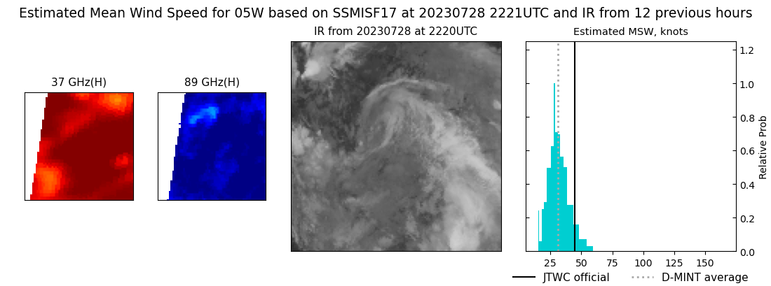 |
| 20230728 | 2208 UTC | SSMISF16 | NaN hPa | 49 kts | 43 kts | 55 kts | 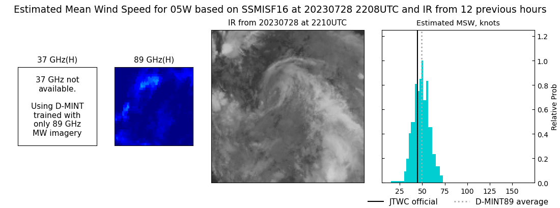 |
| 20230728 | 2015 UTC | SSMISF18 | NaN hPa | 33 kts | 27 kts | 39 kts | 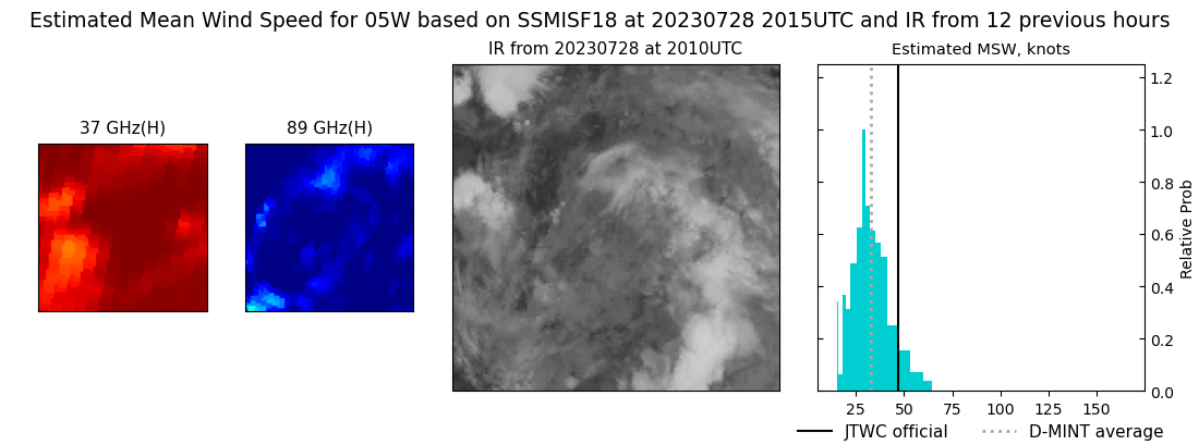 |
| 20230728 | 1821 UTC | AMSR2 | NaN hPa | 34 kts | 28 kts | 41 kts | 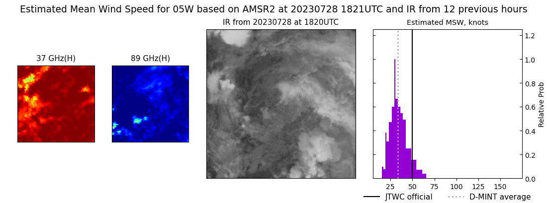 |
| 20230728 | 1251 UTC | GMI | NaN hPa | 48 kts | 41 kts | 55 kts | 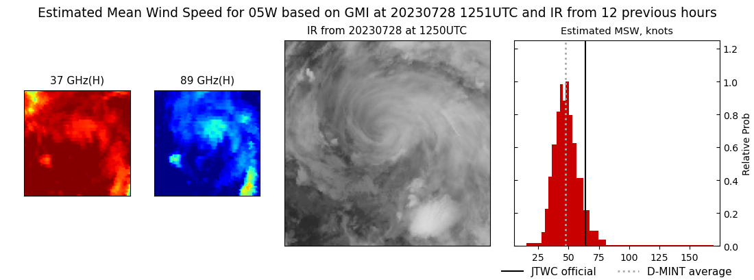 |
| 20230728 | 0952 UTC | SSMISF17 | NaN hPa | 59 kts | 52 kts | 66 kts | 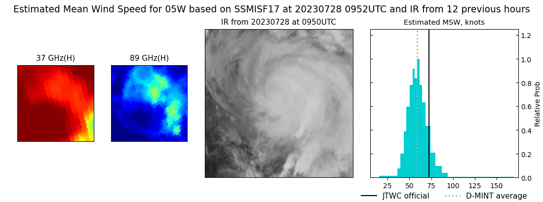 |
| 20230728 | 0941 UTC | SSMISF16 | NaN hPa | 58 kts | 51 kts | 65 kts | 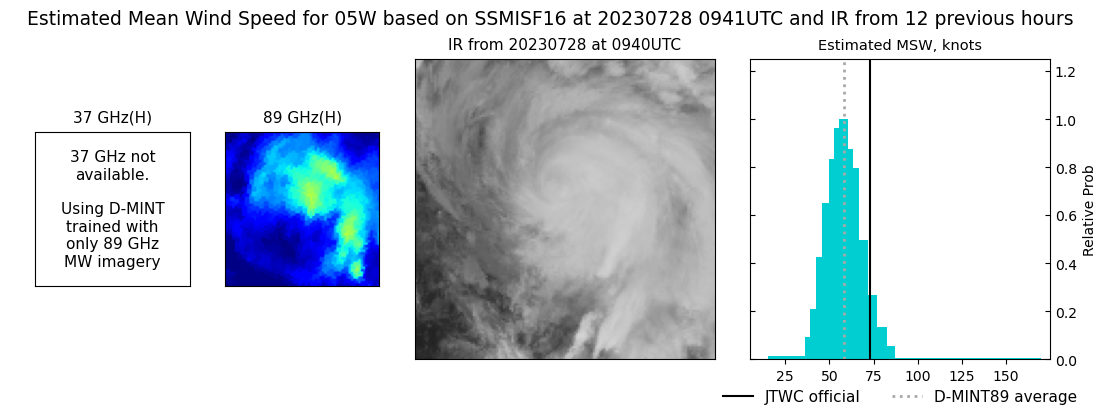 |
| 20230728 | 0747 UTC | SSMISF18 | NaN hPa | 67 kts | 60 kts | 75 kts | 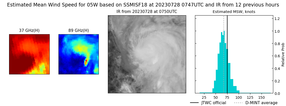 |
| 20230727 | 2331 UTC | GMI | NaN hPa | 92 kts | 86 kts | 98 kts | 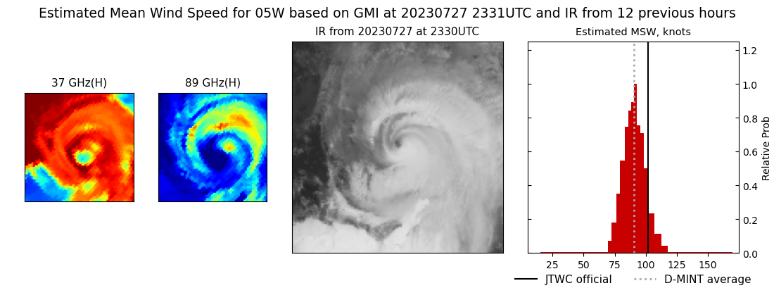 |
| 20230727 | 2236 UTC | SSMISF17 | NaN hPa | 108 kts | 102 kts | 114 kts | 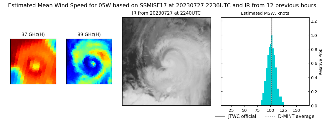 |
| 20230727 | 2030 UTC | SSMISF18 | NaN hPa | 105 kts | 98 kts | 112 kts | 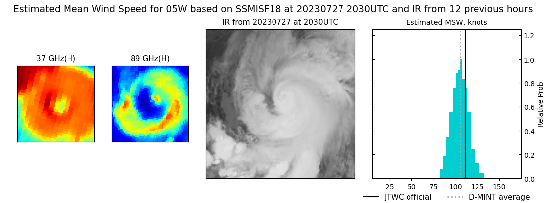 |
| 20230727 | 1740 UTC | AMSR2 | NaN hPa | 105 kts | 95 kts | 116 kts |  |
| 20230727 | 1005 UTC | SSMISF17 | NaN hPa | 83 kts | 76 kts | 90 kts | 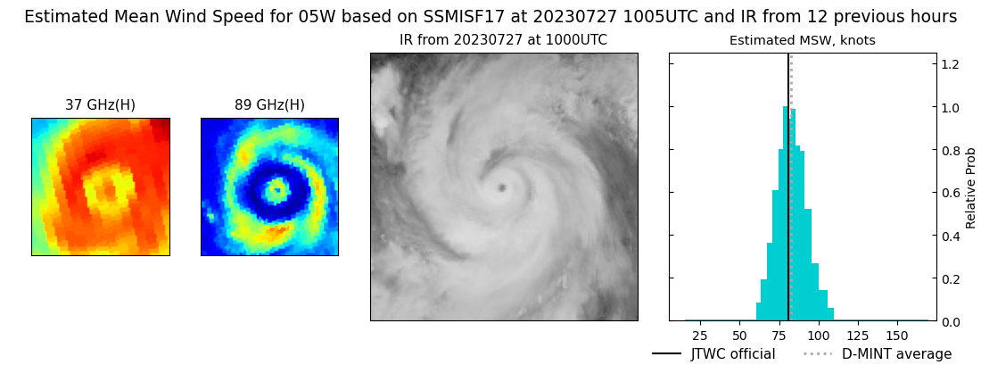 |
| 20230727 | 0759 UTC | SSMISF18 | NaN hPa | 86 kts | 79 kts | 93 kts | 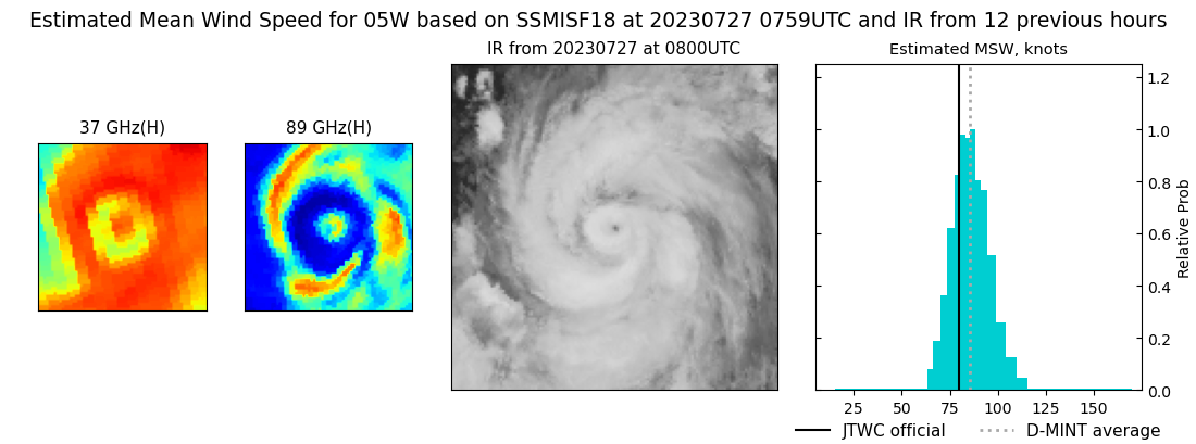 |
| 20230727 | 0530 UTC | AMSR2 | NaN hPa | 80 kts | 74 kts | 87 kts | 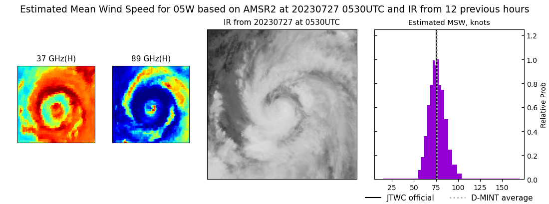 |
| 20230726 | 2250 UTC | SSMISF17 | NaN hPa | 68 kts | 63 kts | 74 kts | 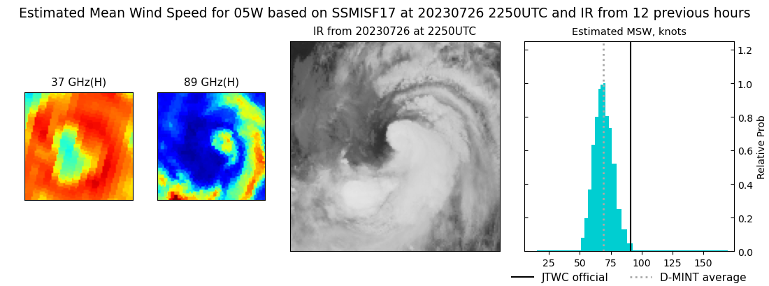 |
| 20230726 | 1301 UTC | GMI | NaN hPa | 83 kts | 75 kts | 90 kts | 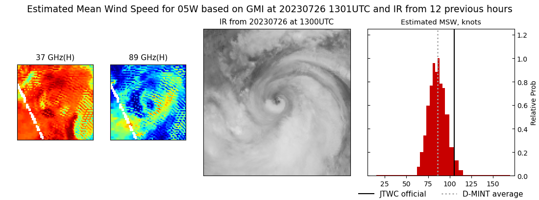 |
| 20230726 | 1017 UTC | SSMISF17 | NaN hPa | 87 kts | 81 kts | 94 kts | 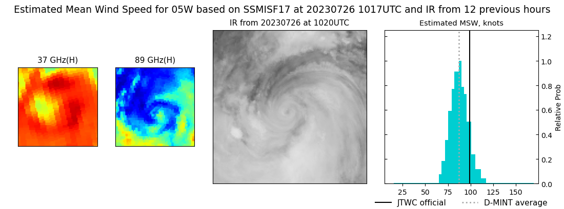 |
| 20230726 | 0448 UTC | AMSR2 | NaN hPa | 100 kts | 93 kts | 106 kts | 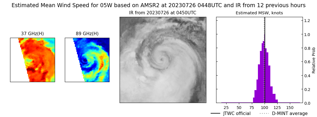 |
| 20230725 | 2341 UTC | GMI | NaN hPa | 107 kts | 99 kts | 115 kts | 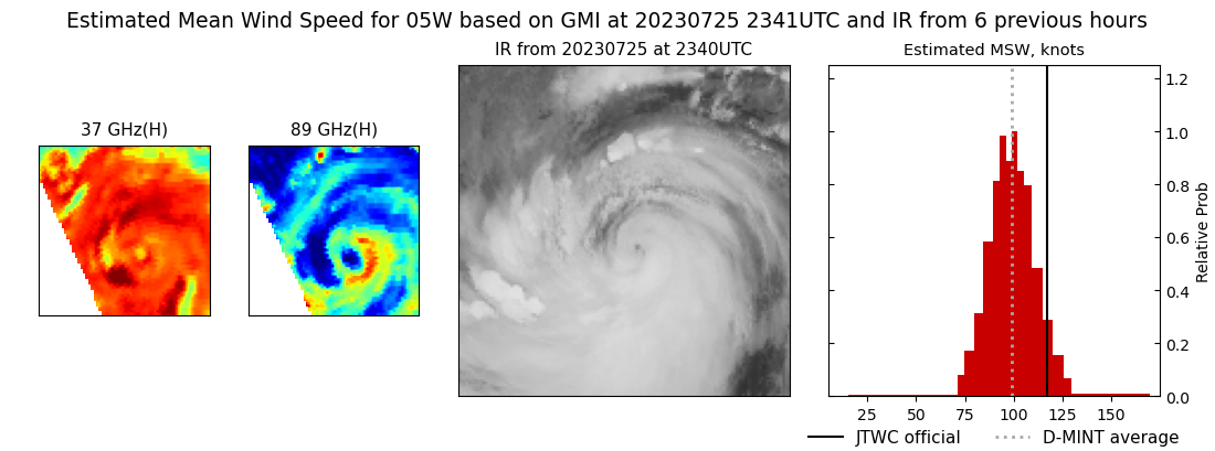 |
| 20230725 | 2110 UTC | SSMISF16 | NaN hPa | 114 kts | 107 kts | 121 kts | 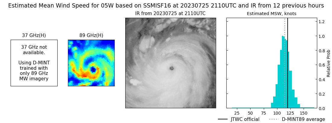 |
| 20230725 | 1753 UTC | AMSR2 | NaN hPa | 128 kts | 123 kts | 134 kts | 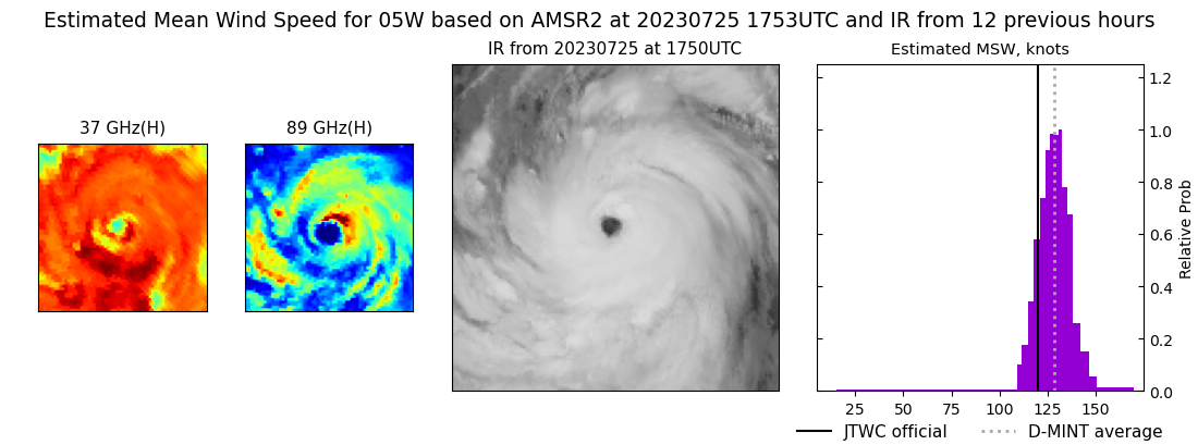 |
| 20230725 | 0838 UTC | SSMISF16 | NaN hPa | 131 kts | 124 kts | 138 kts |  |
| 20230724 | 2123 UTC | SSMISF16 | NaN hPa | 124 kts | 117 kts | 130 kts | 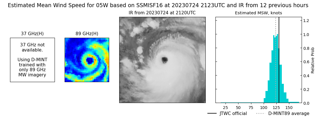 |
| 20230724 | 1931 UTC | SSMISF18 | NaN hPa | 120 kts | 114 kts | 126 kts | 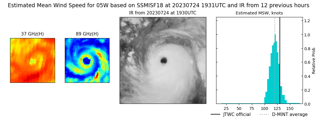 |
| 20230724 | 1711 UTC | AMSR2 | NaN hPa | 122 kts | 117 kts | 127 kts | 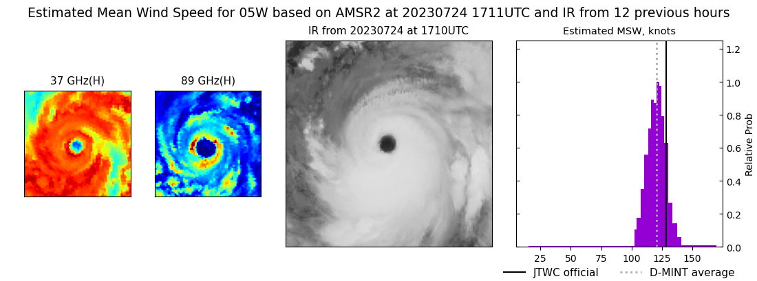 |
| 20230724 | 1311 UTC | GMI | NaN hPa | 127 kts | 120 kts | 134 kts | 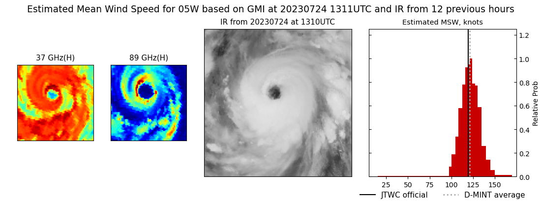 |
| 20230724 | 0849 UTC | SSMISF16 | NaN hPa | 112 kts | 105 kts | 120 kts | 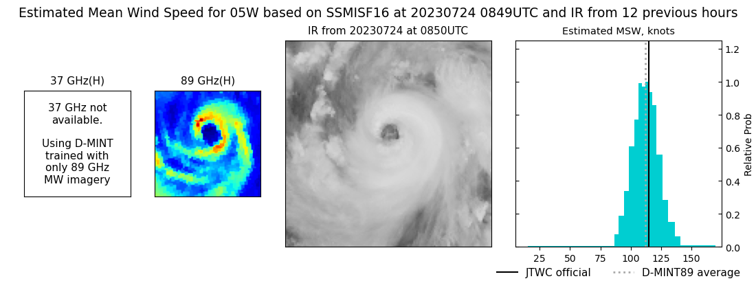 |
| 20230724 | 0657 UTC | SSMISF18 | NaN hPa | 107 kts | 101 kts | 114 kts | 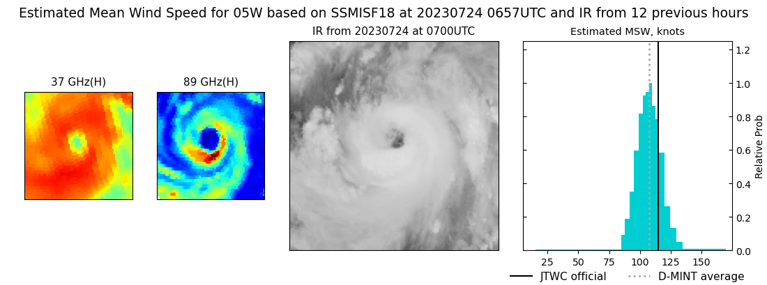 |
| 20230724 | 0458 UTC | AMSR2 | NaN hPa | 113 kts | 106 kts | 120 kts | 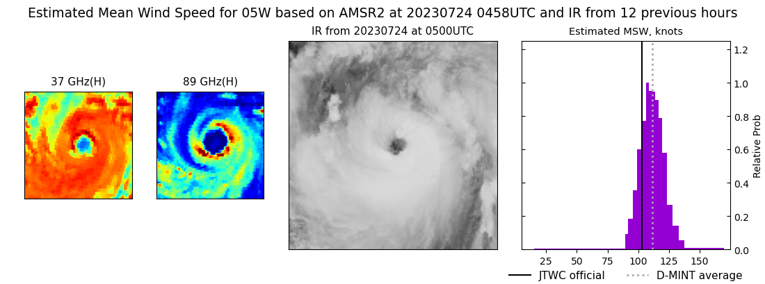 |
| 20230723 | 2151 UTC | SSMISF17 | NaN hPa | 103 kts | 96 kts | 110 kts | 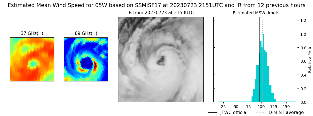 |
| 20230723 | 2138 UTC | SSMISF16 | NaN hPa | 89 kts | 82 kts | 95 kts | 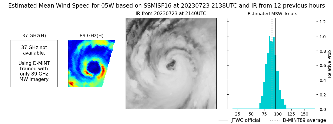 |
| 20230723 | 1944 UTC | SSMISF18 | NaN hPa | 93 kts | 86 kts | 99 kts | 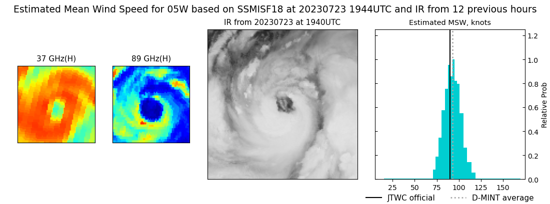 |
| 20230723 | 0917 UTC | SSMISF17 | NaN hPa | 70 kts | 64 kts | 76 kts | 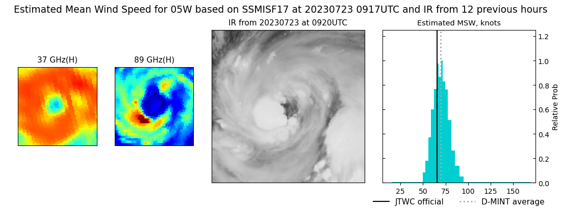 |
| 20230723 | 0902 UTC | SSMISF16 | NaN hPa | 69 kts | 62 kts | 75 kts | 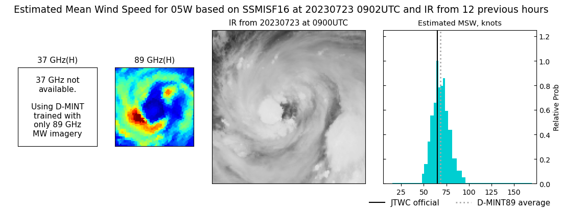 |
| 20230723 | 0708 UTC | SSMISF18 | NaN hPa | 65 kts | 60 kts | 71 kts | 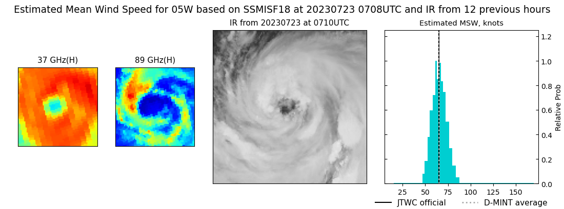 |
| 20230722 | 2205 UTC | SSMISF17 | NaN hPa | 51 kts | 45 kts | 57 kts | 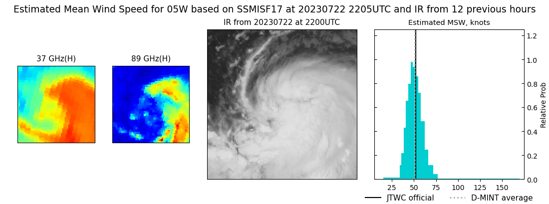 |
| 20230722 | 1724 UTC | AMSR2 | NaN hPa | 39 kts | 35 kts | 44 kts | 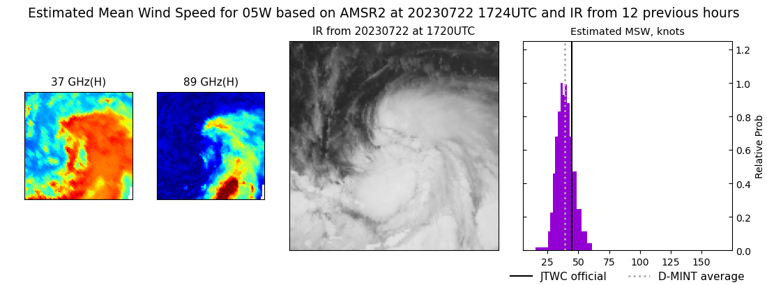 |
| 20230722 | 1326 UTC | GMI | NaN hPa | 37 kts | 33 kts | 41 kts | 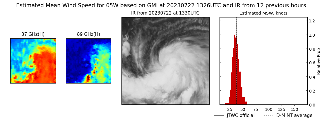 |
| 20230722 | 0929 UTC | SSMISF17 | NaN hPa | 32 kts | 28 kts | 36 kts | 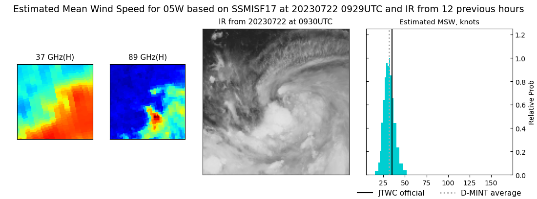 |
| 20230722 | 0722 UTC | SSMISF18 | NaN hPa | 33 kts | 29 kts | 37 kts | 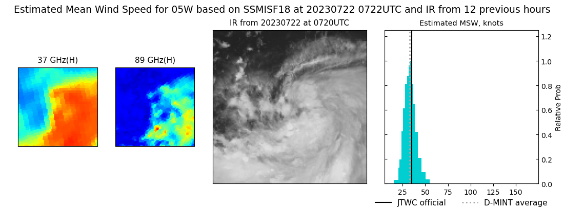 |
| 20230721 | 2023 UTC | SSMISF16 | NaN hPa | 26 kts | 23 kts | 29 kts | 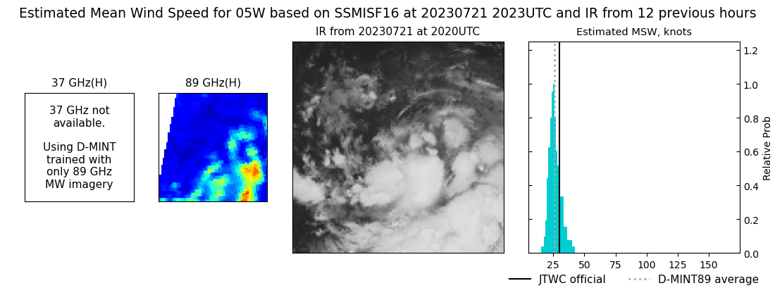 |
| 20230721 | 1641 UTC | AMSR2 | NaN hPa | 27 kts | 25 kts | 30 kts | 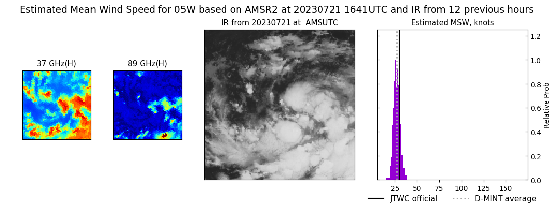 |
|
