|
Storm: 09P
D-MINT HISTORY FILE for 2023_09P
| Date | Time | MW Sensor | MSLP | Vmax
(30th-70th percentile average) | Vmax
25th percentile | Vmax
75th percentile | Image |
| 20230120 | 0652 UTC | SSMISF17 | NaN hPa | 0 kts | 0 kts | 0 kts | 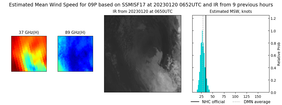 |
| 20230120 | 0519 UTC | SSMISF16 | NaN hPa | 0 kts | 0 kts | 0 kts | 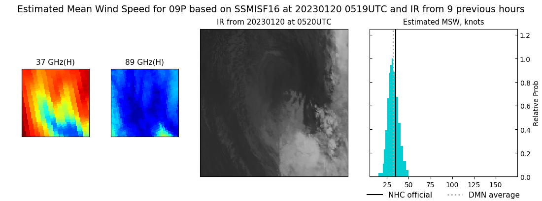 |
| 20230120 | 0455 UTC | SSMISF18 | NaN hPa | 0 kts | 0 kts | 0 kts | 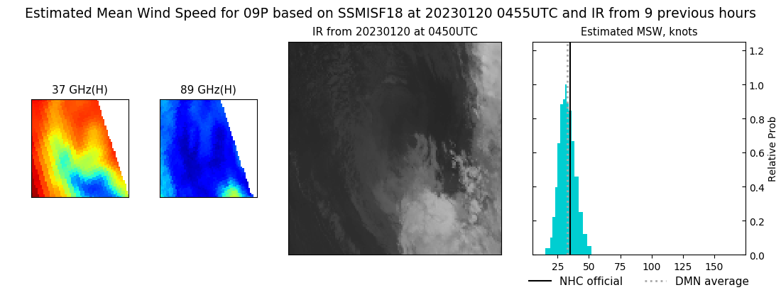 |
| 20230119 | 1824 UTC | SSMISF17 | NaN hPa | 0 kts | 0 kts | 0 kts | 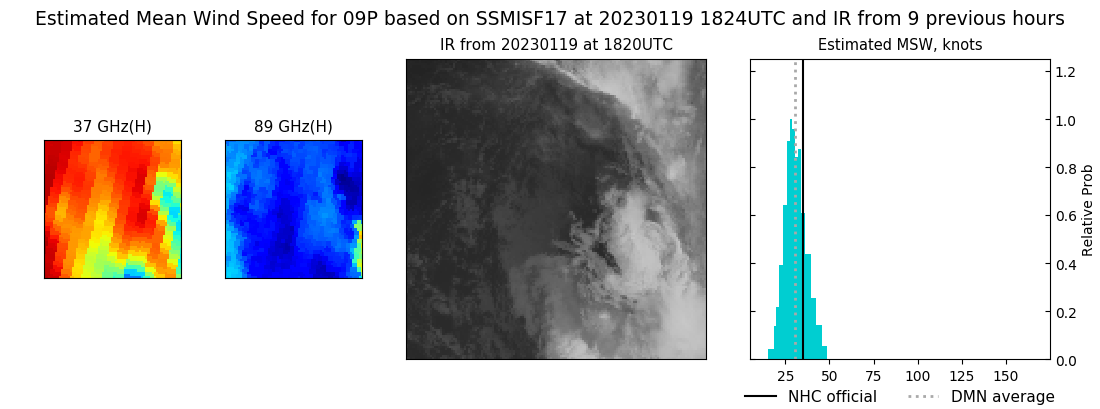 |
| 20230119 | 1649 UTC | SSMISF16 | NaN hPa | 33 kts | 29 kts | 37 kts | 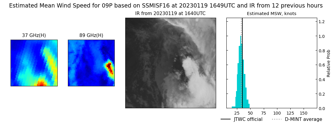 |
| 20230119 | 1625 UTC | SSMISF18 | NaN hPa | 35 kts | 31 kts | 40 kts | 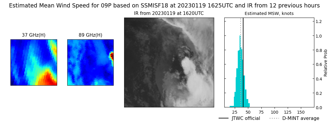 |
| 20230119 | 0709 UTC | SSMISF17 | NaN hPa | 39 kts | 34 kts | 45 kts | 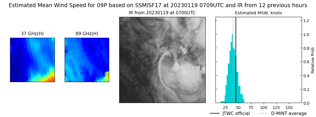 |
| 20230119 | 0535 UTC | SSMISF16 | NaN hPa | 39 kts | 33 kts | 45 kts | 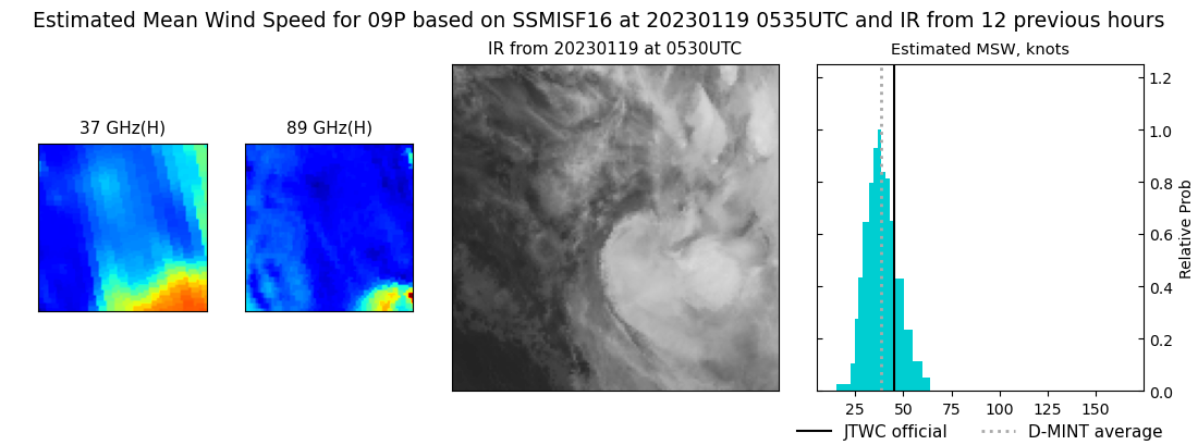 |
| 20230119 | 0509 UTC | SSMISF18 | NaN hPa | 42 kts | 37 kts | 48 kts | 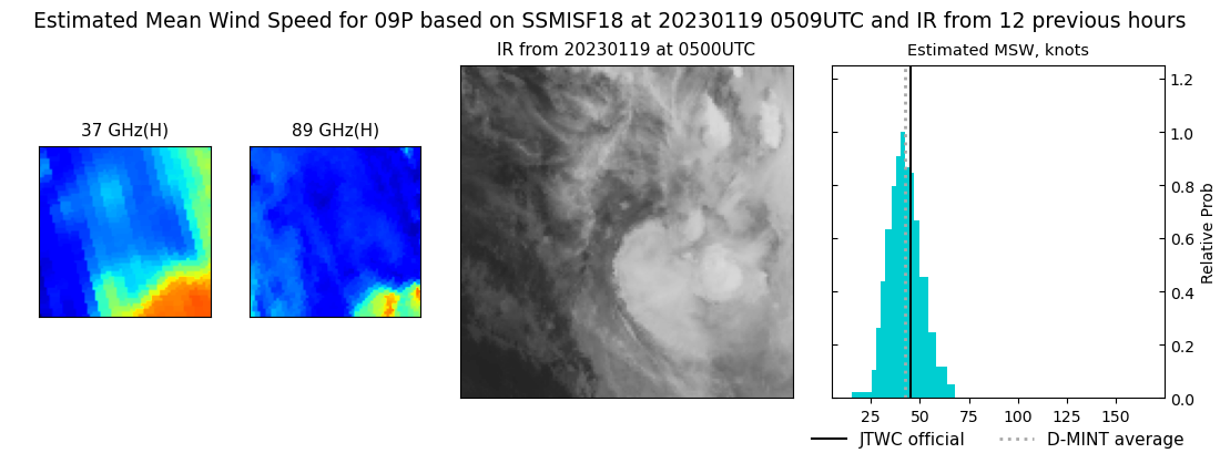 |
| 20230118 | 1837 UTC | SSMISF17 | NaN hPa | 48 kts | 42 kts | 55 kts | 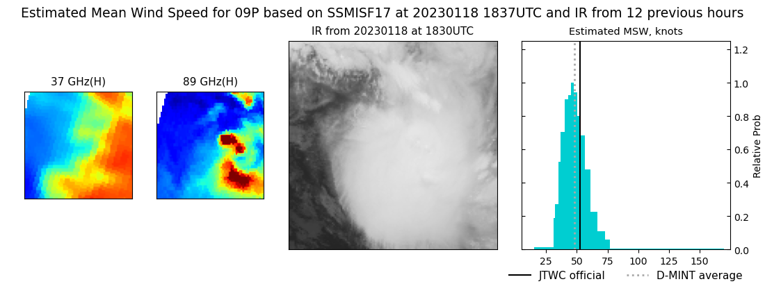 |
| 20230118 | 1636 UTC | SSMISF18 | NaN hPa | 53 kts | 47 kts | 60 kts | 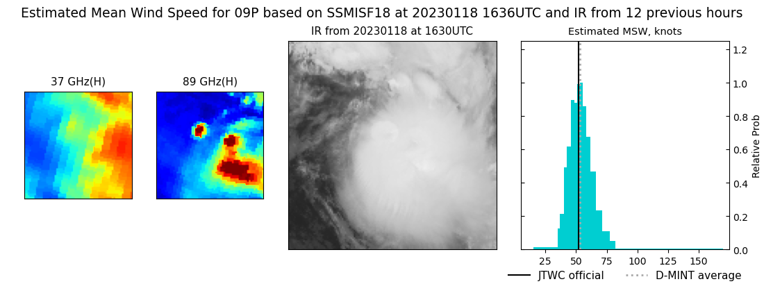 |
| 20230118 | 0723 UTC | SSMISF17 | NaN hPa | 0 kts | 0 kts | 0 kts | 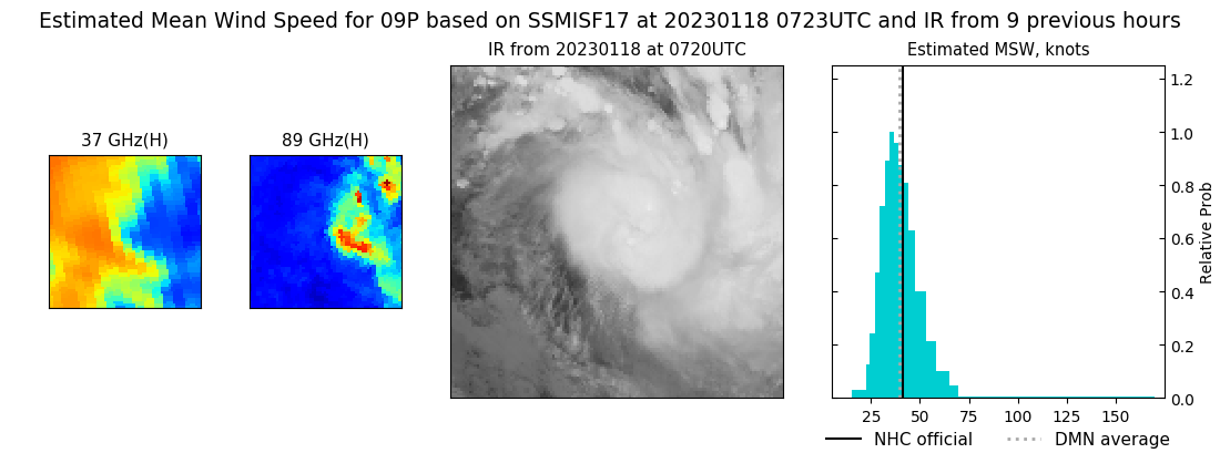 |
| 20230118 | 0523 UTC | SSMISF18 | NaN hPa | 39 kts | 34 kts | 44 kts | 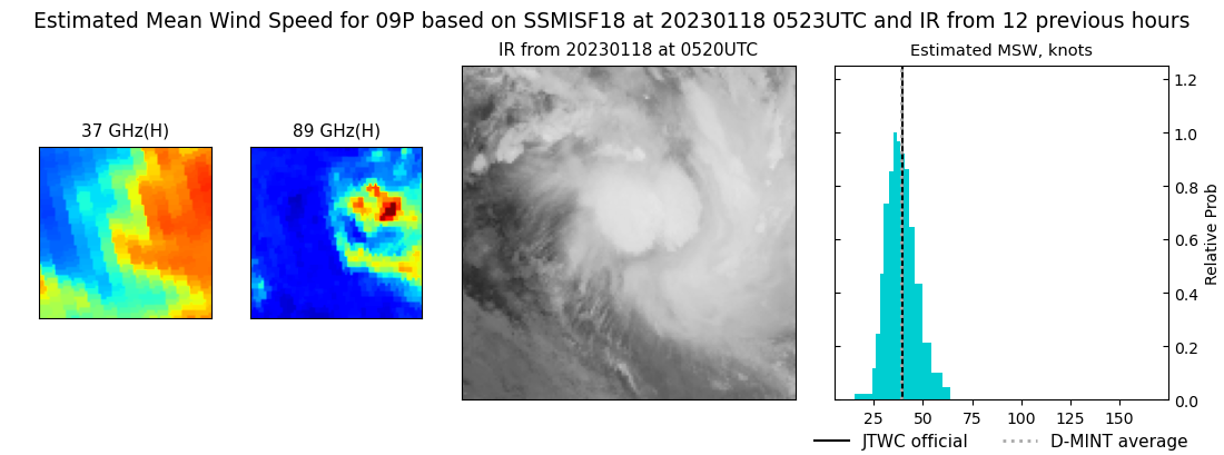 |
|
