|
Current Intensity Estimates
|
ADT
|
| Date |
Time |
Vmax |
MSLP |
| 09Apr2026 |
1800UTC |
41 kts |
988 hPa |
| Scene |
CI# |
FT# |
AdjT# |
RawT# |
Eye T |
Cloud T |
| CRVBND |
2.8 |
2.6 |
2.6 |
2.6 |
12.97C |
-19.93C |
|
|
|
|
AiDT
|
| Date |
Time |
Vmax |
|
| 09Apr2026 |
1800UTC |
47 kts |
|
|
|
|
|
DPRINT
|
| Date |
Time |
Vmax |
MSLP |
| 09Apr2026 |
1730UTC |
50 kts |
992 hPa |
| Vmax 25% |
Vmax 75% |
|
|
| 44 kts |
56 kts |
|
|
|
|
|
|
DMINT
|
| Date |
Time |
Vmax |
MSLP |
| 09Apr2026 |
1543UTC |
47 kts |
995 hPa |
| Vmax 25% |
Vmax 75% |
MW Instr. |
|
| 42 kts |
51 kts |
SSMISF18 |
|
|
|
| Date |
Time |
Vmax |
MSLP |
| 09Apr2026 |
1333UTC |
45 kts |
982 hPa |
| Vmax 25% |
Vmax 75% |
MW Instr. |
|
| 40 kts |
50 kts |
ATMS-N21 |
|
MPERC
|
| Date |
Time |
Prob. ERC onset
Full Model |
Prob. ERC onset
V-based |
| 09Apr2026 |
1500UTC |
0% |
0% |
|
|
|
|
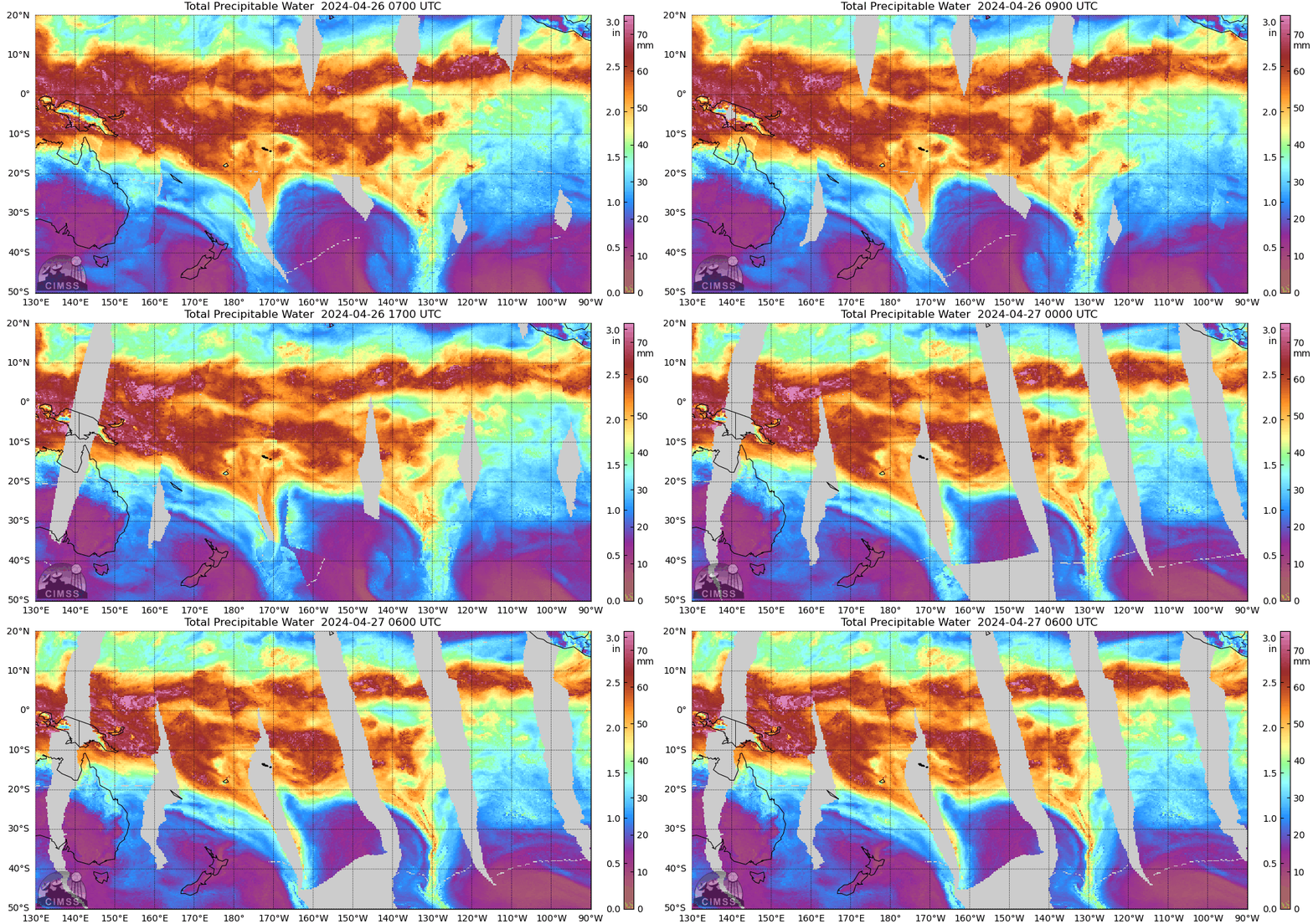
MIMIC-TPW
|
|
|
|
MIMIC-TC
|
|
|
|
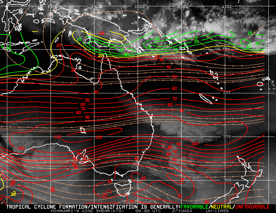
Shear Analysis
|
| Date |
Time |
Shear Magnitude
|
Shear Direction
|
| 09Apr2026 |
1200UTC |
36 kts |
323 deg |
| Deep-layer vertical wind shear interpolated to storm center derived from the CIMSS AMV-aided analyses with vortex removed |
|
|
|
|
TC-Scale AMVs
|
|
|
|