|
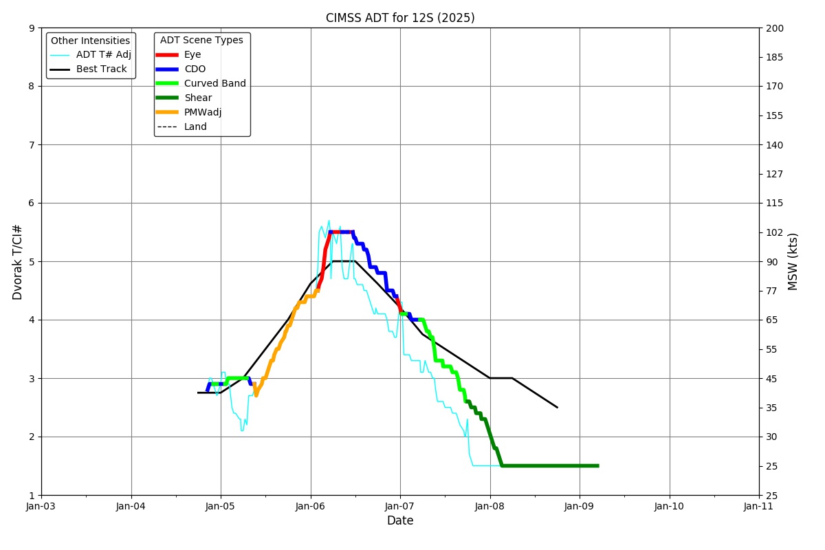
Current Intensity Estimates
|
ADT
|
| Date |
Time |
Vmax |
MSLP |
| 07Jan2026 |
2100UTC |
34 kts |
1001 hPa |
| Scene |
CI# |
FT# |
AdjT# |
RawT# |
Eye T |
Cloud T |
| SHEAR |
2.4 |
1.6 |
1.5 |
1.5 |
10.41C |
1.67C |
|
|
|
|
AiDT
|
| Date |
Time |
Vmax |
|
| 07Jan2026 |
2100UTC |
37 kts |
|
|
|
|
|
DPRINT
|
| Date |
Time |
Vmax |
MSLP |
| 07Jan2026 |
2100UTC |
34 kts |
995 hPa |
| Vmax 25% |
Vmax 75% |
|
|
| 30 kts |
38 kts |
|
|
|
|
|
|
DMINT
|
| Date |
Time |
Vmax |
MSLP |
| 07Jan2026 |
1859UTC |
32 kts |
1000 hPa |
| Vmax 25% |
Vmax 75% |
MW Instr. |
|
| 28 kts |
35 kts |
ATMS-N21 |
|
|
|
| Date |
Time |
Vmax |
MSLP |
| 07Jan2026 |
1848UTC |
38 kts |
996 hPa |
| Vmax 25% |
Vmax 75% |
MW Instr. |
|
| 34 kts |
42 kts |
AMSR2 |
|
07Jan2026 |
1837UTC |
-18.75S |
91.72E |
| Satellite |
Sensor |
Eye Diameter |
Eye Cert % |
| GMI |
37GHz |
1.10 deg |
---% |
|
|
|
|
TC Structure
|
MPERC
|
| Date |
Time |
Prob. ERC onset
Full Model |
Prob. ERC onset
V-based |
| 07Jan2026 |
1800UTC |
0% |
0% |
|
|
|
|
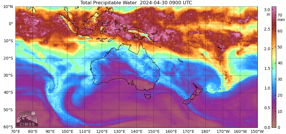
MIMIC-TPW
|
|
|
|
MIMIC-TC
|
|
|
|
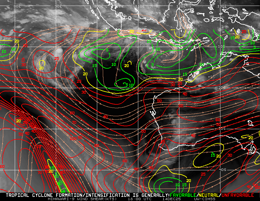
Shear Analysis
|
| Date |
Time |
Shear Magnitude
|
Shear Direction
|
| 07Jan2026 |
1800UTC |
15 kts |
316 deg |
| Deep-layer vertical wind shear interpolated to storm center derived from the CIMSS AMV-aided analyses with vortex removed |
|
|
|
|
TC-Scale AMVs
|
|
|
|