|
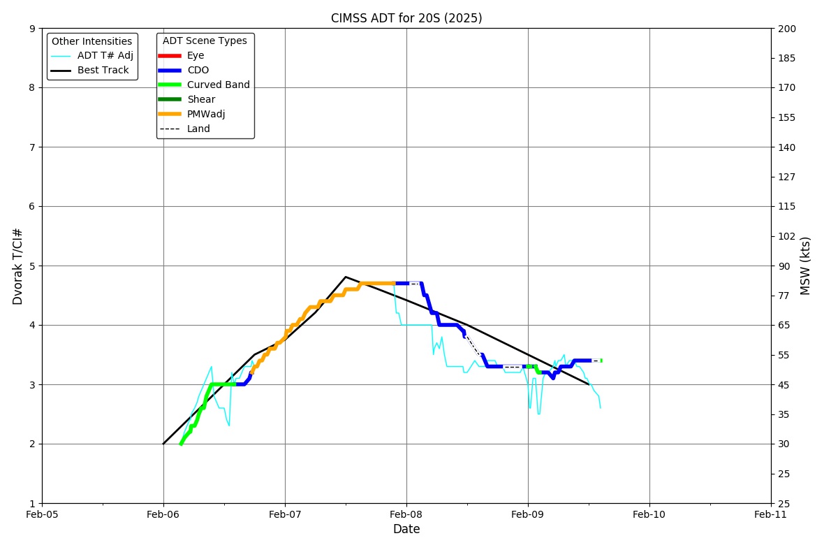
Current Intensity Estimates
|
ADT
|
| Date |
Time |
Vmax |
MSLP |
| 06Feb2026 |
1900UTC |
51 kts |
988 hPa |
| Scene |
CI# |
FT# |
AdjT# |
RawT# |
Eye T |
Cloud T |
| CRVBND |
3.3 |
3.3 |
3.2 |
3.4 |
-57.66C |
-68.99C |
|
|
|
|
AiDT
|
| Date |
Time |
Vmax |
|
| 06Feb2026 |
1900UTC |
40 kts |
|
|
|
|
|
DPRINT
|
| Date |
Time |
Vmax |
MSLP |
| 06Feb2026 |
1900UTC |
52 kts |
986 hPa |
| Vmax 25% |
Vmax 75% |
|
|
| 46 kts |
59 kts |
|
|
|
|
|
|
DMINT
|
| Date |
Time |
Vmax |
MSLP |
| 06Feb2026 |
1720UTC |
46 kts |
983 hPa |
| Vmax 25% |
Vmax 75% |
MW Instr. |
|
| 41 kts |
51 kts |
AMSR2 |
|
|
|
| Date |
Time |
Vmax |
MSLP |
| 06Feb2026 |
1705UTC |
43 kts |
987 hPa |
| Vmax 25% |
Vmax 75% |
MW Instr. |
|
| 38 kts |
48 kts |
ATMS-N20 |
|
MPERC
|
| Date |
Time |
Prob. ERC onset
Full Model |
Prob. ERC onset
V-based |
| N/A |
N/AUTC |
N/A |
N/A |
|
|
|
|
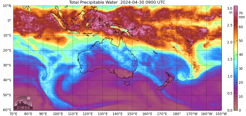
MIMIC-TPW
|
|
|
|
MIMIC-TC
|
|
|
|
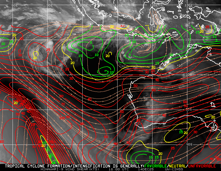
Shear Analysis
|
| Date |
Time |
Shear Magnitude
|
Shear Direction
|
| 06Feb2026 |
1800UTC |
13 kts |
75 deg |
| Deep-layer vertical wind shear interpolated to storm center derived from the CIMSS AMV-aided analyses with vortex removed |
|
|
|
|
TC-Scale AMVs
|
|
|
|