|
Current Intensity Estimates
|
ADT
|
| Date |
Time |
Vmax |
MSLP |
| 31Jul2025 |
1120UTC |
N/A kts |
N/A hPa |
| Scene |
CI# |
FT# |
AdjT# |
RawT# |
Eye T |
Cloud T |
| LAND |
N/A |
N/A |
N/A |
N/A |
N/AC |
N/AC |
|
|
|
|
AiDT
|
| Date |
Time |
Vmax |
|
| 30Jul2025 |
0800UTC |
48 kts |
|
|
|
|
|
DPRINT
|
| Date |
Time |
Vmax |
MSLP |
| 31Jul2025 |
1110UTC |
27 kts |
990 hPa |
| Vmax 25% |
Vmax 75% |
|
|
| 24 kts |
31 kts |
|
|
|
|
|
|
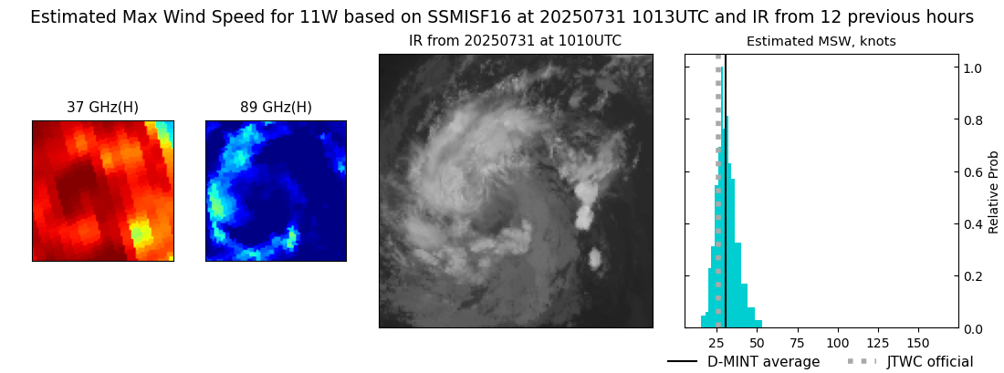
DMINT
|
| Date |
Time |
Vmax |
MSLP |
| 31Jul2025 |
1013UTC |
31 kts |
993 hPa |
| Vmax 25% |
Vmax 75% |
MW Instr. |
|
| 27 kts |
35 kts |
SSMISF16 |
|
|
|
|
|
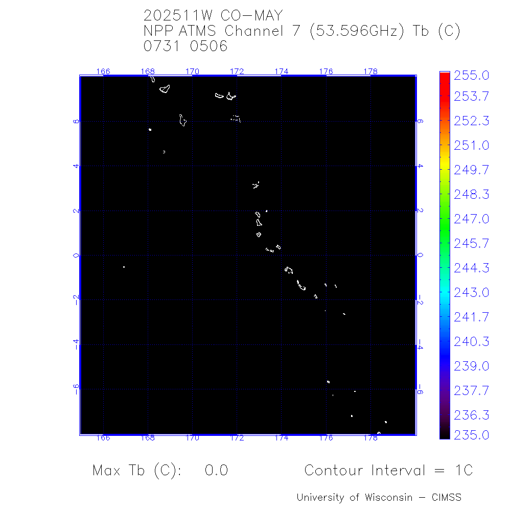
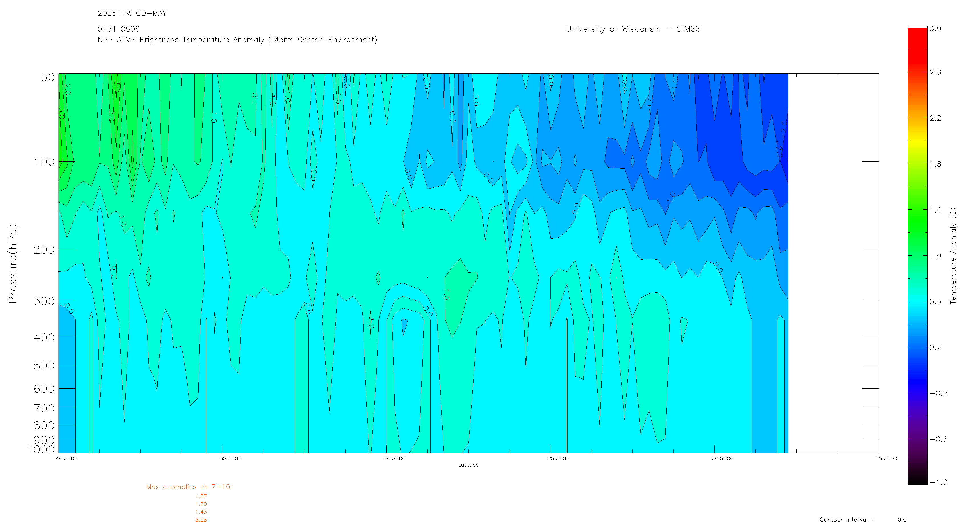
MW Sounders
|
| Date |
Time |
Vmax |
MSLP |
| 31Jul2025 |
0506UTC |
46 kts |
975 hPa |
|
|
|
|
SATCON
|
| Date |
Time |
Vmax |
MSLP |
| 30Jul2025 |
0800UTC |
48 kts |
978 hPa |
| Consensus Members |
| 3 (ADT+Sounders) |
|
|
|