Return to Homepage
Cooperative Institute for Meteorological Satellite Studies / University of Wisconsin-Madison
Tropical Cyclone 13L
Latest Real-Time CIMSS Product Summary
Current Time :    
Click on product name to access the full product homepage for each specific storm
Mouse over images to enlarge; click to view in window
Product Latency Color Code : Less than 3 hours old   3 - 6 hours old   6 - 12 hours old   Greater than 12 hours old   Not Available
Current Intensity Estimates ADT
Date Time Vmax MSLP
12Oct2024 1440UTC 35 kts 996 hPa
Scene CI# FT# AdjT# RawT# Eye T Cloud T
CRVBND 2.5 2.4 2.6 2.6 6.73C -40.94C
AiDT
Date Time Vmax  
12Oct2024 1440UTC 46 kts  
 
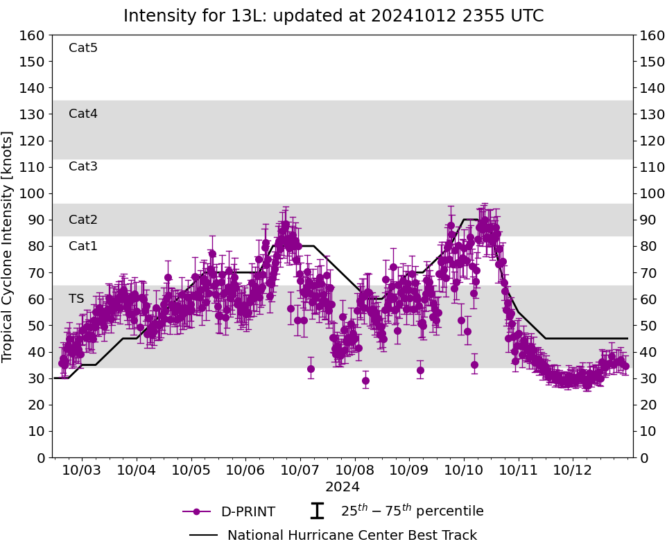
DPRINT
Date Time Vmax MSLP
12Oct2024 1440UTC 35 kts 1000 hPa
Vmax 25% Vmax 75%    
31 kts 40 kts    
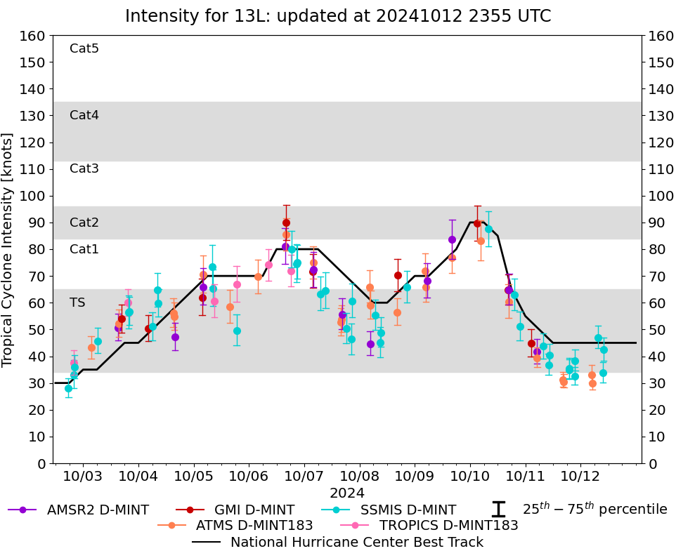
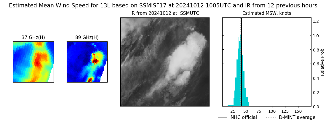
DMINT
Date Time Vmax MSLP
12Oct2024 1005UTC 43 kts 1001 hPa
Vmax 25% Vmax 75% MW Instr.  
38 kts 47 kts SSMISF17  
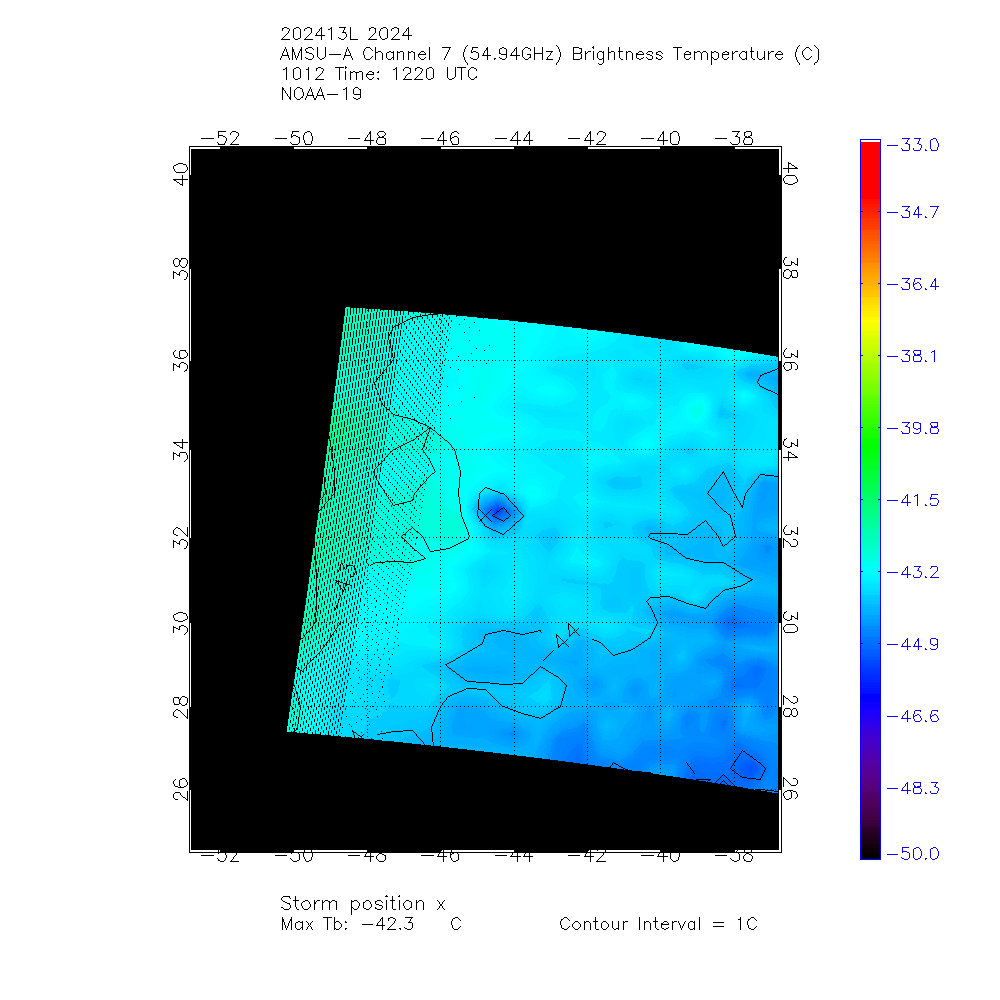
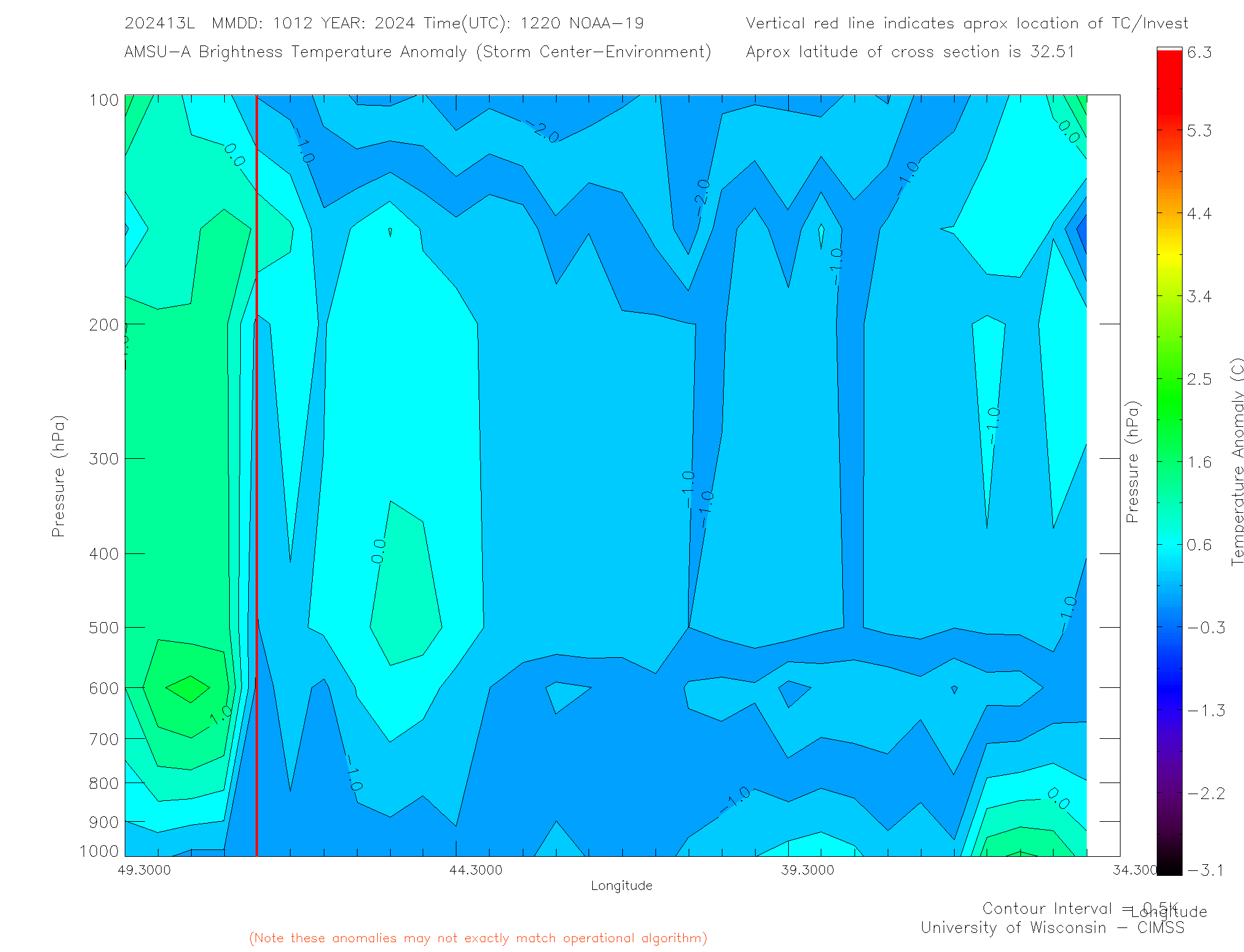
MW Sounders
Date Time Vmax MSLP
12Oct2024 0511UTC 48 kts 998 hPa
  Satellite FOV  
  ATMS 25  
SATCON
Date Time Vmax MSLP
12Oct2024 1410UTC 46 kts 997 hPa
Consensus Members
2 (ADT+Sounders)

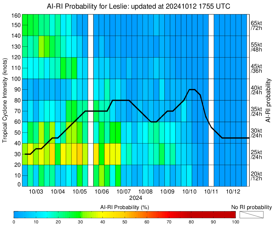
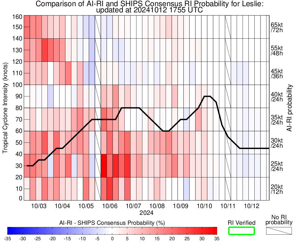
RI Forecast AI-RI
Date Time Current Vmax Current MPI
12Oct2024 1200UTC 40 kts 95 kts
20kt/12h 25kt/24h 30kt/24h 35kt/24h 40kt/24h 45kt/36h 55kt/48h 65kt/72h
0.1% 0.2% 0.0% 0.0% 0.0% 0.0% 0.0% 0.0%

Position Estimates ARCHER
Date Time Latitude Longitude
12Oct2024 1254UTC 32.53N 45.26W
Satellite Sensor Eye Diameter Eye Cert %
Metop-A ASCAT --- deg ---%

TC Structure MPERC
Date Time Prob. ERC onset
Full Model
Prob. ERC onset
V-based
12Oct2024 1000UTC 0% 0%
 
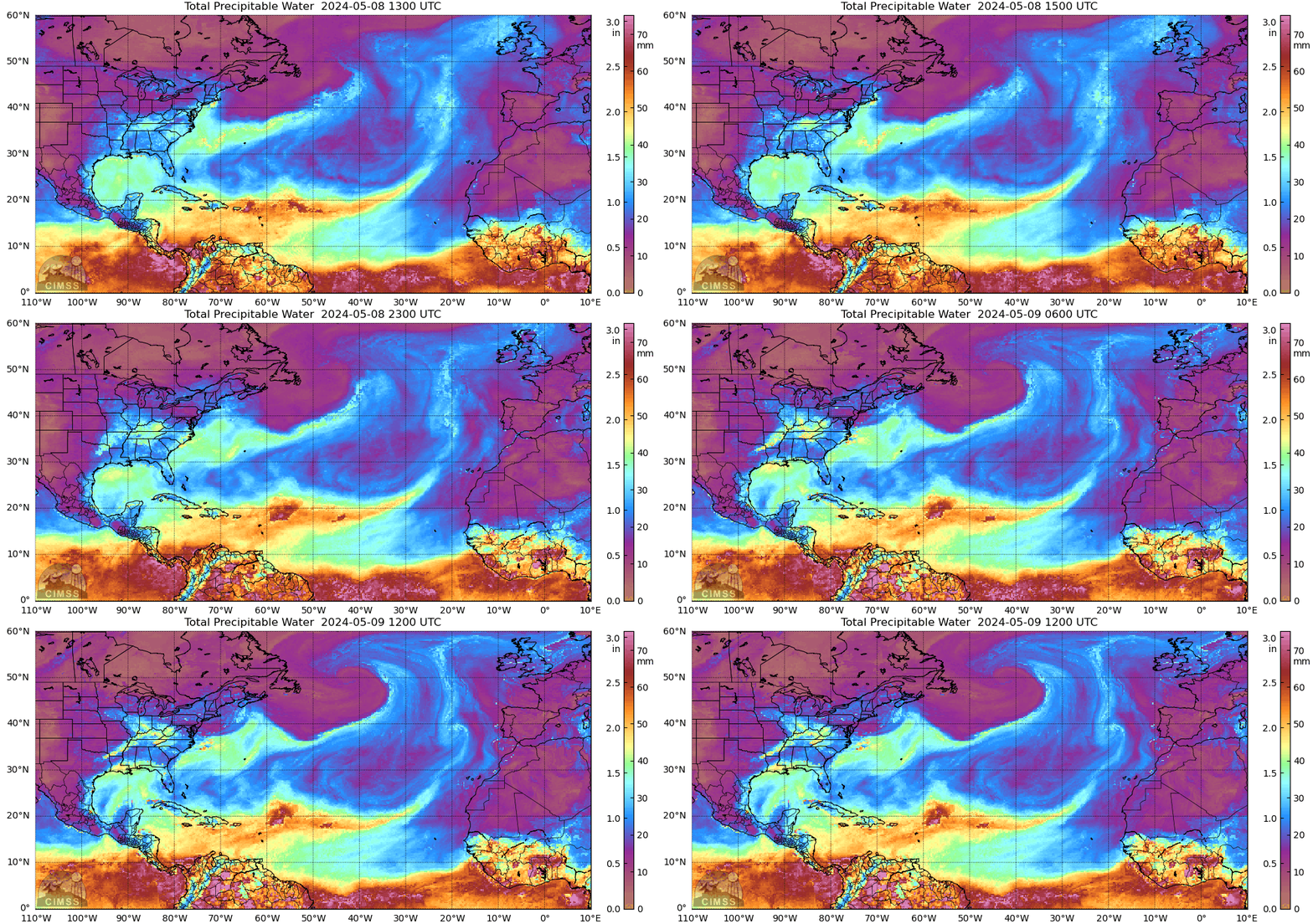
MIMIC-TPW  
MIMIC-TC  
Shear Analysis
Date Time Shear Magnitude
Shear Direction
12Oct2024 1200UTC 23 kts 264 deg
Deep-layer vertical wind shear interpolated to storm center derived from the CIMSS AMV-aided analyses with vortex removed
TC-Scale AMVs