|
Current Intensity Estimates
|
ADT
|
| Date |
Time |
Vmax |
MSLP |
| 18Dec2025 |
0220UTC |
43 kts |
1004 hPa |
| Scene |
CI# |
FT# |
AdjT# |
RawT# |
Eye T |
Cloud T |
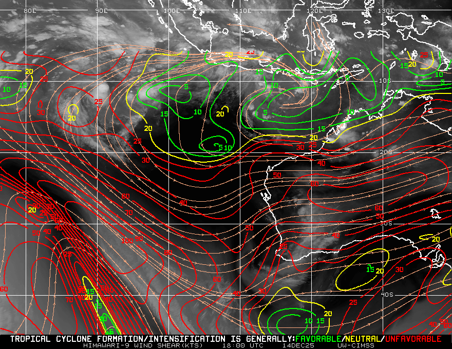
| SHEAR |
2.9 |
2.0 |
1.8 |
1.5 |
18.17C |
8.75C |
|
|
|
|
AiDT
|
| Date |
Time |
Vmax |
|
| 18Dec2025 |
0220UTC |
36 kts |
|
|
|
|
|
DPRINT
|
| Date |
Time |
Vmax |
MSLP |
| 18Dec2025 |
1700UTC |
26 kts |
1004 hPa |
| Vmax 25% |
Vmax 75% |
|
|
| 24 kts |
28 kts |
|
|
|
|
|
|
DMINT
|
| Date |
Time |
Vmax |
MSLP |
| 18Dec2025 |
1316UTC |
22 kts |
1004 hPa |
| Vmax 25% |
Vmax 75% |
MW Instr. |
|
| 21 kts |
24 kts |
GMI |
|
|
|
| Date |
Time |
Vmax |
MSLP |
| 18Dec2025 |
1208UTC |
21 kts |
1006 hPa |
| Vmax 25% |
Vmax 75% |
MW Instr. |
|
| 20 kts |
22 kts |
WSFM01 |
|
|
|
|
|
|
MW Sounders
|
| Date |
Time |
Vmax |
MSLP |
| 13Dec2026 |
1915UTC |
74 kts |
979 hPa |
|
|
|
|
SATCON
|
| Date |
Time |
Vmax |
MSLP |
| 18Dec2025 |
0220UTC |
37 kts |
1004 hPa |
| Consensus Members |
| 2 (ADT+Sounders) |
|
|
|