Return to Homepage
Cooperative Institute for Meteorological Satellite Studies / University of Wisconsin-Madison
Tropical Cyclone 12W
Latest Real-Time CIMSS Product Summary
Current Time :    
Click on product name to access the full product homepage for each specific storm
Mouse over images to enlarge; click to view in window
Product Latency Color Code : Less than 3 hours old   3 - 6 hours old   6 - 12 hours old   Greater than 12 hours old   Not Available
Current Intensity Estimates ADT
Date Time Vmax MSLP
08Sep2024 0500UTC N/A kts N/A hPa
Scene CI# FT# AdjT# RawT# Eye T Cloud T
LAND N/A N/A N/A N/A N/AC N/AC
AiDT
Date Time Vmax  
07Sep2024 0630UTC 109 kts  
 
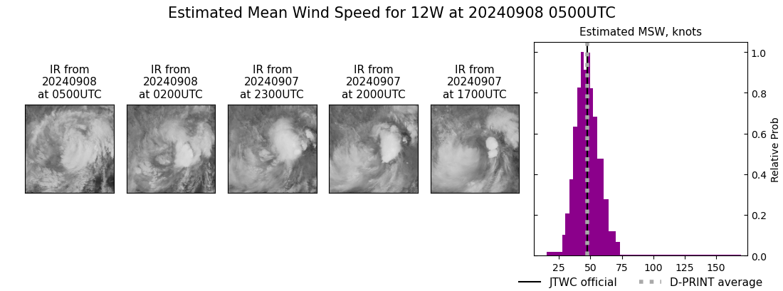
DPRINT
Date Time Vmax MSLP
08Sep2024 0500UTC 47 kts 995 hPa
Vmax 25% Vmax 75%    
41 kts 54 kts    
DMINT
Date Time Vmax MSLP
07Sep2024 2325UTC 47 kts 993 hPa
Vmax 25% Vmax 75% MW Instr.  
40 kts 54 kts SSMISF17  
MW Sounders
Date Time Vmax MSLP
06Sep2024 1821UTC 118 kts 926 hPa
  Satellite FOV  
  ATMS 12  
SATCON
Date Time Vmax MSLP
07Sep2024 0630UTC 102 kts 946 hPa
Consensus Members
2 (ADT+Sounders)

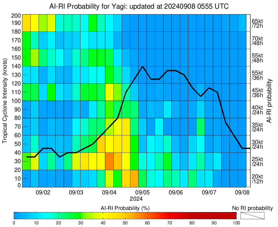
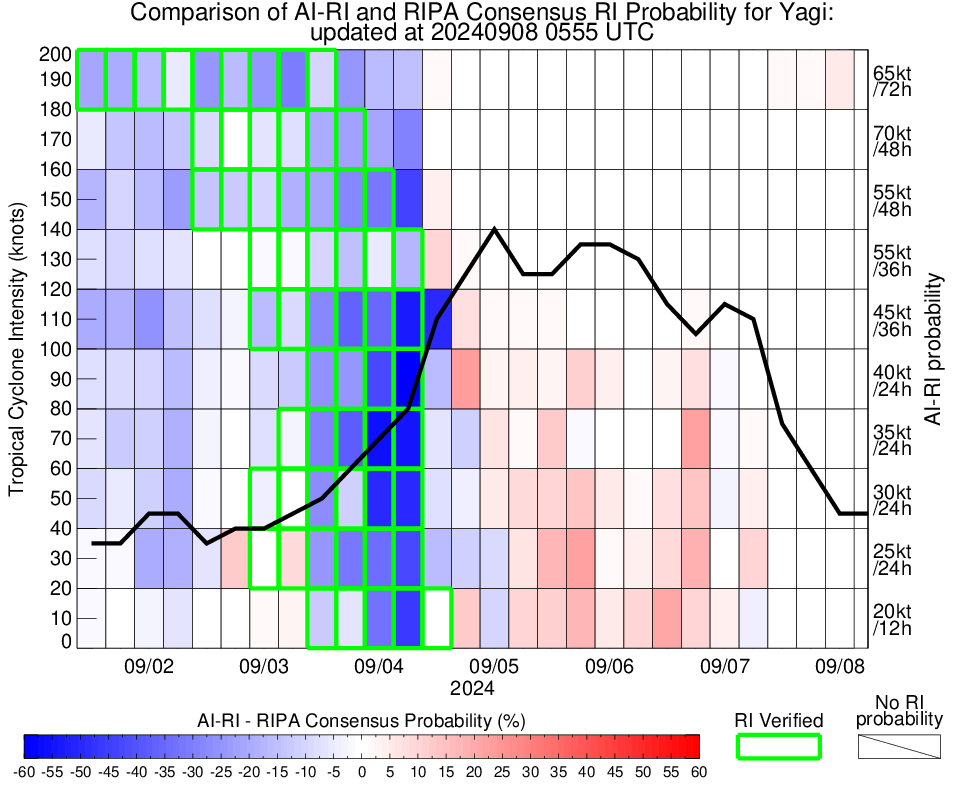
RI Forecast AI-RI
Date Time Current Vmax Current MPI
08Sep2024 0000UTC 45 kts 88 kts
20kt/12h 25kt/24h 30kt/24h 35kt/24h 40kt/24h 45kt/36h 55kt/48h 65kt/72h
0.4% 1.1% 0.2% 0.1% 0.0% 0.3% 0.5% 5.0%

Position Estimates ARCHER
Date Time Latitude Longitude
08Sep2024 0203UTC 22.03N 105.32E
Satellite Sensor Eye Diameter Eye Cert %
GMI 37GHz 0.40 deg ---%

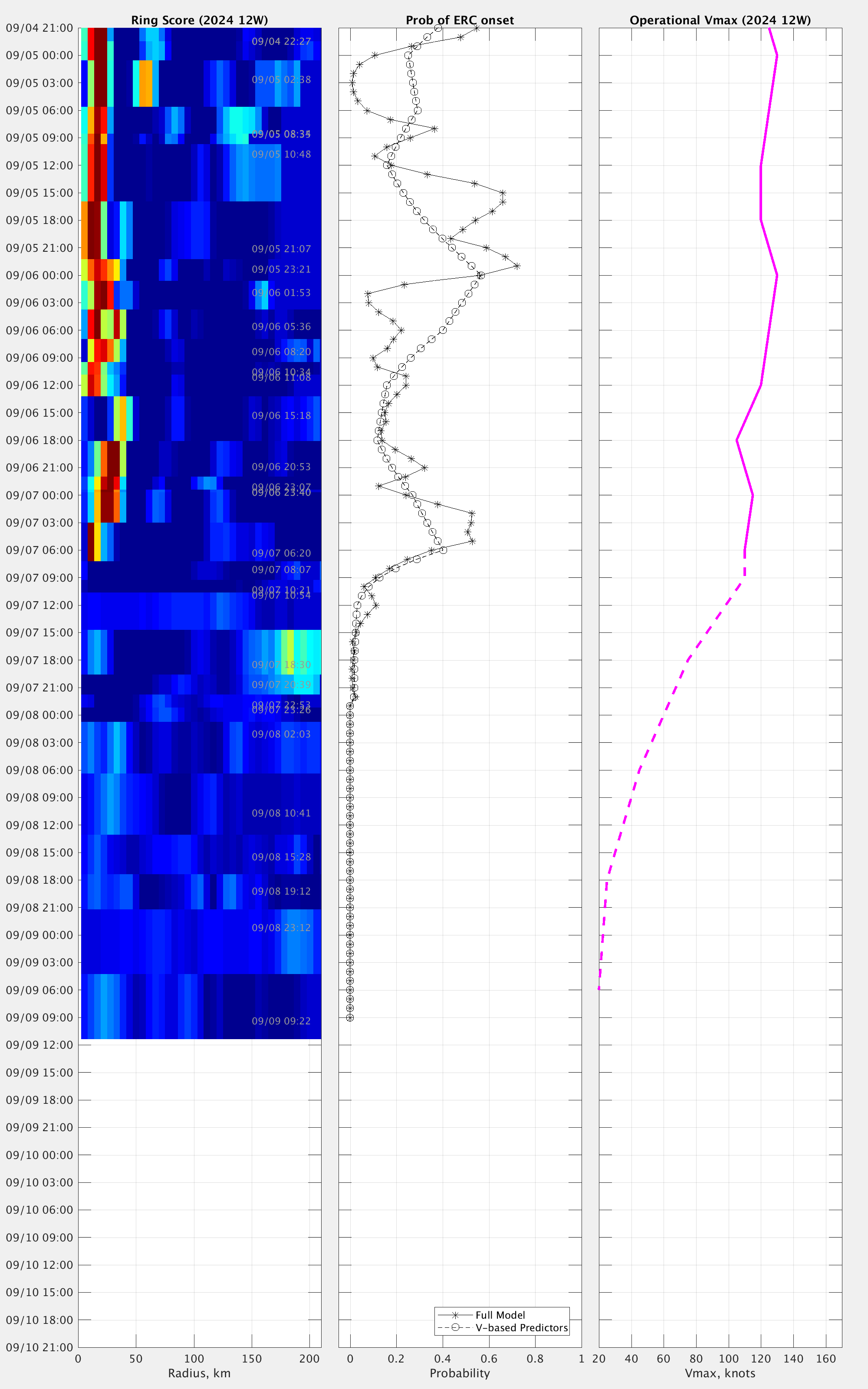
TC Structure MPERC
Date Time Prob. ERC onset
Full Model
Prob. ERC onset
V-based
08Sep2024 0200UTC 0% 0%
 
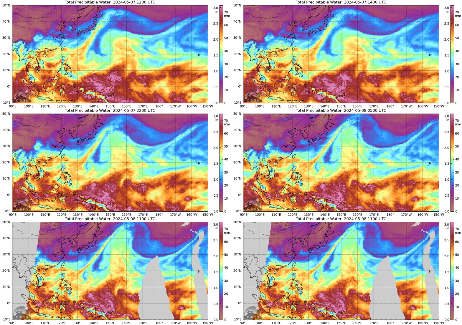
MIMIC-TPW  
MIMIC-TC  
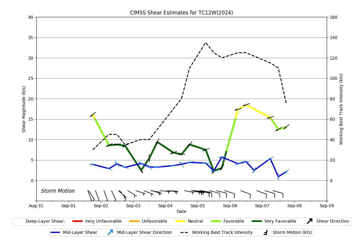
Shear Analysis
Date Time Shear Magnitude
Shear Direction
08Sep2024 000UTC 14 kts 55 deg
Deep-layer vertical wind shear interpolated to storm center derived from the CIMSS AMV-aided analyses with vortex removed
TC-Scale AMVs