|
Current Intensity Estimates
|
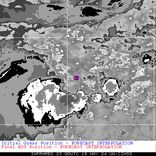
ADT
|
| Date |
Time |
Vmax |
MSLP |
| 05Mar2026 |
2300UTC |
29 kts |
1002 hPa |
| Scene |
CI# |
FT# |
AdjT# |
RawT# |
Eye T |
Cloud T |
| CRVBND |
1.9 |
1.9 |
2.3 |
2.3 |
-4.28C |
-24.89C |
|
|
|
|
AiDT
|
| Date |
Time |
Vmax |
|
| 05Mar2026 |
2300UTC |
30 kts |
|
|
|
|
|
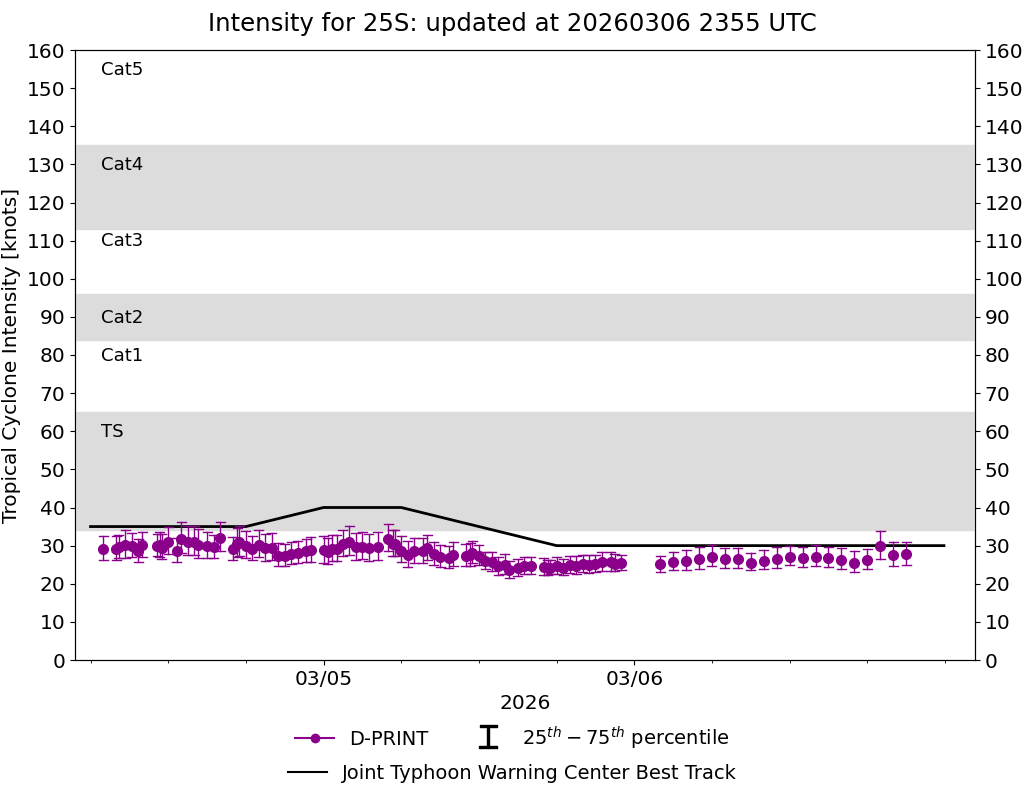
DPRINT
|
| Date |
Time |
Vmax |
MSLP |
| 05Mar2026 |
2300UTC |
25 kts |
997 hPa |
| Vmax 25% |
Vmax 75% |
|
|
| 24 kts |
28 kts |
|
|
|
|
|
|
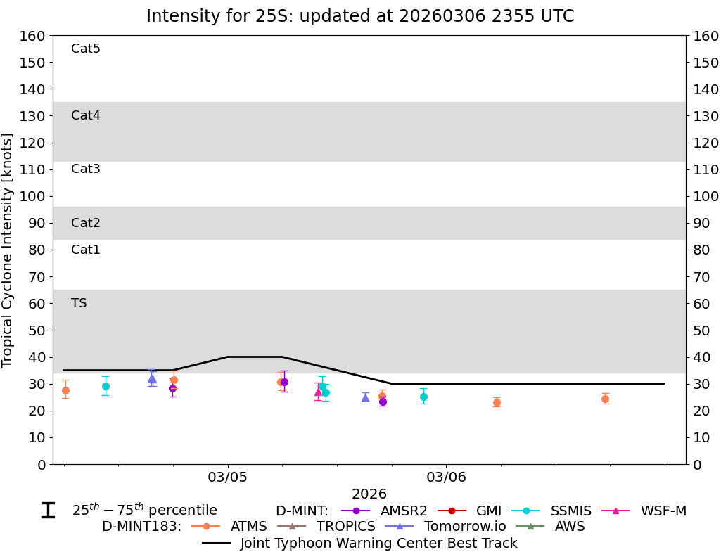
DMINT
|
| Date |
Time |
Vmax |
MSLP |
| 05Mar2026 |
2130UTC |
25 kts |
997 hPa |
| Vmax 25% |
Vmax 75% |
MW Instr. |
|
| 23 kts |
28 kts |
SSMISF17 |
|
|
|
|
|
MW Sounders
|
| Date |
Time |
Vmax |
MSLP |
| 05Mar2026 |
2130UTC |
35 kts |
994 hPa |
|
|
|
|
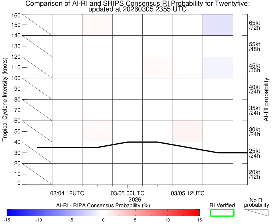
SATCON
|
| Date |
Time |
Vmax |
MSLP |
| 05Mar2026 |
2300UTC |
34 kts |
999 hPa |
| Consensus Members |
| 2 (ADT+Sounders) |
|
|
|